
The Santa Fe Plaza works as an orientation point because streets, public buildings and patterns of gathering converge around it. Yet the familiar green square should not be read as an unchanged colonial scene. The same ground has belonged to different political systems and has carried very different surfaces, buildings and meanings.
A center imposed on an existing place
The National Park Service places the Spanish founding of the plaza in 1610, when Pedro de Peralta laid out the settlement at the Tewa place known as Oga Po’geh. The plan organized government, religious institutions and prominent households around a central space. The Spanish town did not begin on land without an earlier history.
During the Pueblo Revolt of 1680, Spanish colonists were expelled. Pueblo occupants subsequently constructed a multistory settlement and kivas in the plaza area. Spanish control returned after twelve years. These changes make the plaza a record of conflict and rebuilding, not simply a continuous expression of one colonial culture.
An open ground becomes a park
Early descriptions and plans show a much plainer space than the planted square familiar today. Commercial traffic became especially important after Mexican independence opened the Santa Fe Trail to trade in 1821. In 1846 the plaza also became a stage for the United States military occupation.
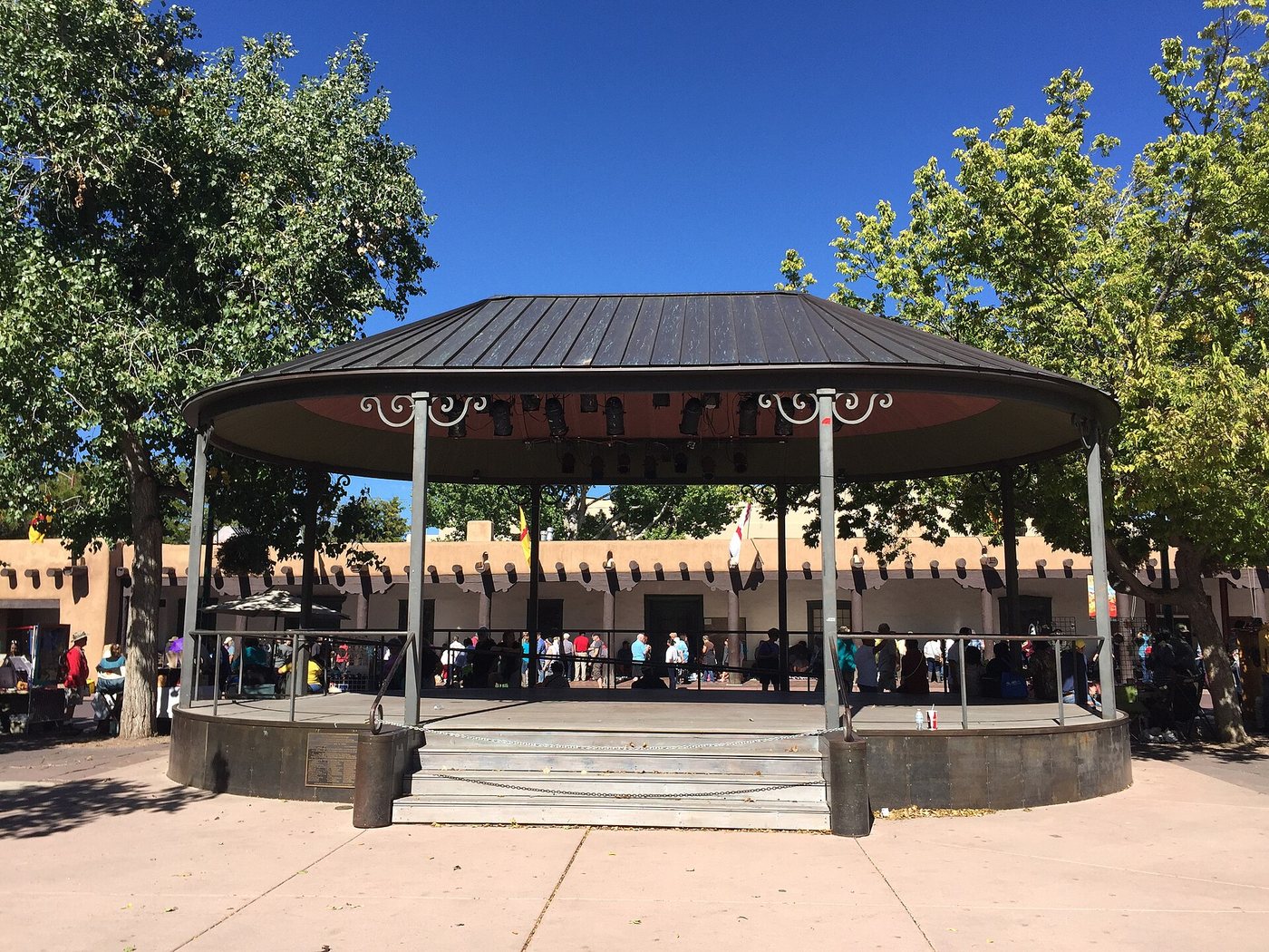
Paths, fencing and a gazebo changed the ground in the nineteenth century. Later, railway connections and tourism helped reshape how Santa Fe presented itself. The surrounding city’s Pueblo Revival image belongs partly to twentieth-century decisions about architectural identity; it should not be used to date every building by appearance.
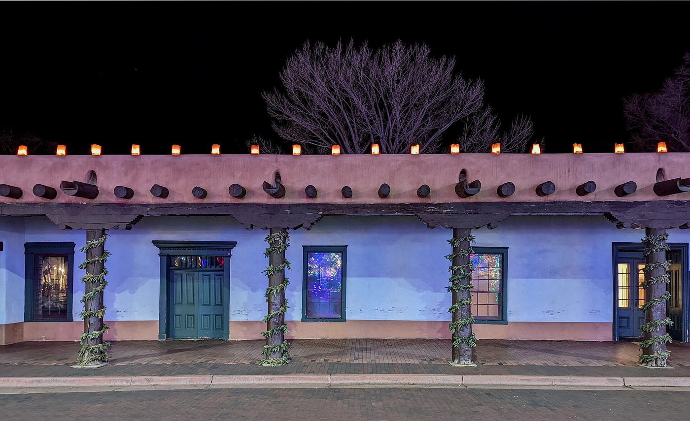
For a visitor, this distinction changes the questions worth asking. A lawn indicates a particular approach to public space and maintenance. A portico creates a sheltered edge. Shop windows turn the boundary toward commerce. None of these has to be dismissed as inauthentic merely because it belongs to a different period, but neither should all be assigned the same age.
Read the edges as well as the middle
Walk a circuit before settling on one view. Compare the long horizontal presence of the Palace of the Governors with the smaller divisions made by commercial entrances elsewhere. Notice where pedestrians pass through, where they stop and where a street opening frames a view beyond the square. These relationships explain why the plaza remains useful even when no special event is underway.
The Palace of the Governors and New Mexico History Museum provide a place to continue the historical inquiry. Their setting beside the plaza connects the outdoor plan to collections and interpretation indoors. Leave time for that connection rather than treating the square and museum as unrelated attractions.
Keep several histories in view
A helpful way to describe the plaza is to identify separate layers: the Indigenous place, the Spanish colonial plan, Pueblo resistance and occupation, Mexican-era trade, United States expansion and later preservation. The layers overlap on the ground, and some are more visibly commemorated than others.
That framework avoids a common mistake in historic centers: allowing the most harmonious present-day view to stand for the whole past. The plaza’s present appeal is real, but its deeper interest lies in the changes that a single central space has absorbed.


.jpg)