
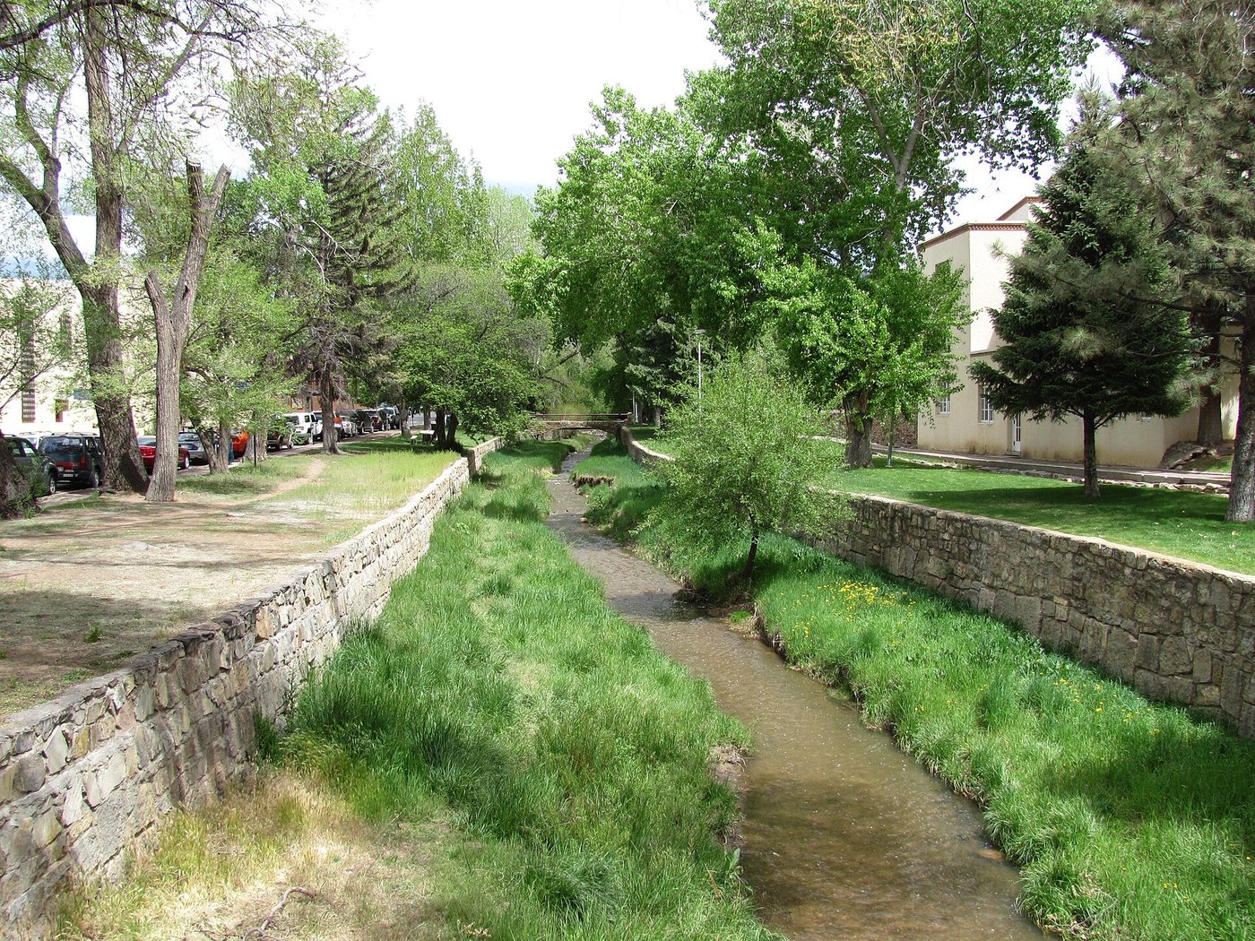
A walk beside the Santa Fe River is not necessarily a walk beside continuous flowing water. The channel through the city belongs to a watershed shaped by mountain runoff, reservoirs, water supply and ecological restoration. Understanding those connections makes a dry reach more informative than treating it as a failed version of a lush riverside park.
The river begins beyond the city walk
The municipal water department describes headwaters in the Sangre de Cristo Mountains and the Nichols and McClure reservoirs upstream. The reservoirs support the city’s drinking-water supply. Water reaching the urban channel is therefore connected with decisions made beyond the visible stretch of park.
The city’s Living River program, established through a 2012 ordinance, provides for releases intended to support the river. The annual allocation can reach 1,000 acre-feet, but actual releases depend on runoff and available storage. That figure is a policy limit, not a guarantee that a visitor will encounter a full channel or continuous flow on a particular day.
Restoration concerns more than water depth
River and watershed work includes native vegetation, channel condition and the arroyos that feed the system. Shade, habitat and the way stormwater enters the channel are part of the landscape’s function. A narrow shaded reach and an exposed reach can behave differently even when they belong to the same river.
The city also places the river within a history of irrigation and acequias. Water has supported cultivation and settlement as well as scenic enjoyment. These overlapping demands explain why restoration is an ongoing management task rather than a one-time beautification project.
When observing the banks, separate maintained paths from the channel itself. A pedestrian route provides access along the river; it does not make every part of the riverbed a recreational surface. Planting and bank work may be protecting a small area that looks unremarkable from a distance.
Plan a short section with a clear return
Choose a segment that connects with streets you already intend to visit, and use city information for the current trail and park layout. Bridges and street crossings provide clear reference points. A short out-and-back can be easier to understand than assembling disconnected pieces of riverfront into an assumed continuous route.
The strongest subject for the walk is change across a small distance: shade, channel width, adjacent land use and access from neighboring streets. Record whether water is present as an observation on that day, not as a permanent description of the river. The city’s water-resource pages give the broader context that the view alone cannot supply.

.jpg)
.jpg)