
Christian David · CC BY-SA 4.0. Resized; thumbnails may be cropped.

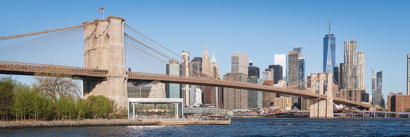
Brooklyn Bridge: walking a bridge as a piece of city infrastructure
A pedestrian crossing reveals the Brooklyn Bridge’s approaches, suspended span and continuing transport role.
26 articles
Follow rivers, bridges and former transport corridors through the city.
Christian David · CC BY-SA 4.0. Resized; thumbnails may be cropped.
A pedestrian crossing reveals the Brooklyn Bridge’s approaches, suspended span and continuing transport role.
Kidfly182 · CC BY 4.0. Resized; thumbnails may be cropped.
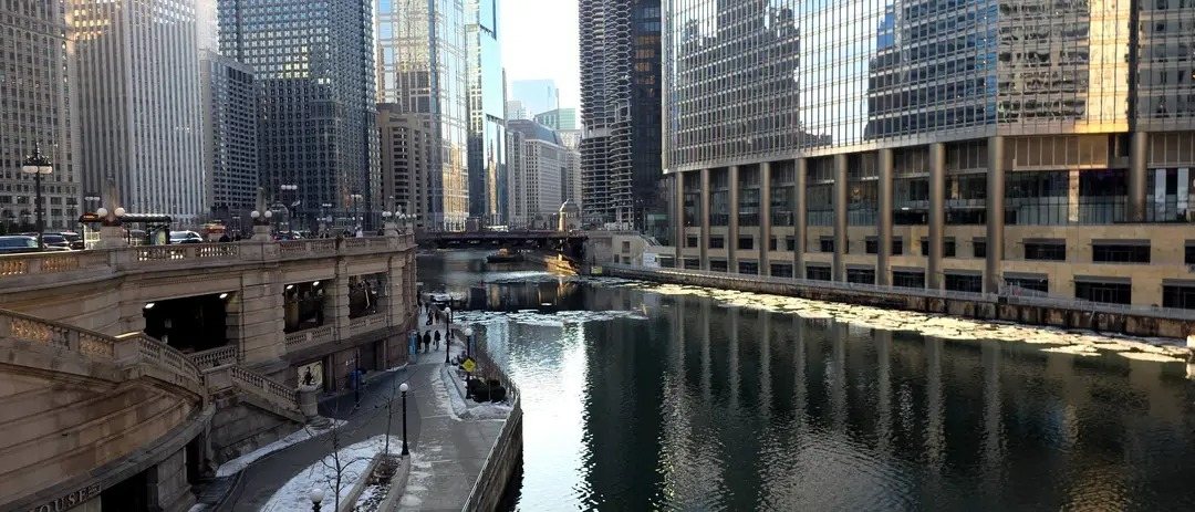
Chicago’s Riverwalk creates a second pedestrian level where bridges, river traffic and downtown buildings are seen from below.
NewtonCourt · CC BY-SA 4.0. Resized; thumbnails may be cropped.
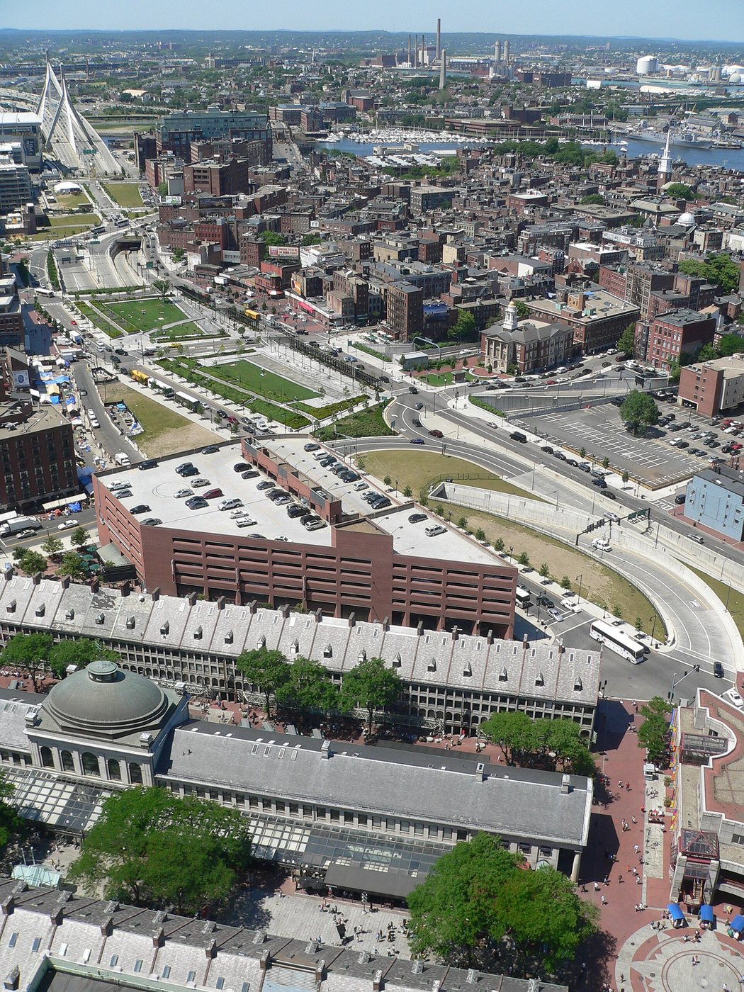
The Rose Kennedy Greenway is a chain of public landscapes over a highway tunnel, where the spaces between neighborhoods matter as much as the gardens.
NewtonCourt · CC BY-SA 4.0. Resized; thumbnails may be cropped.
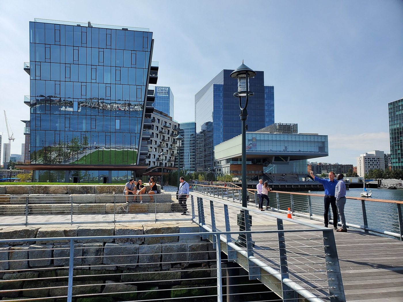
Boston’s waterfront path is a network of public access spaces created across many properties.
michaelwm25 · CC BY 3.0. Resized; thumbnails may be cropped.
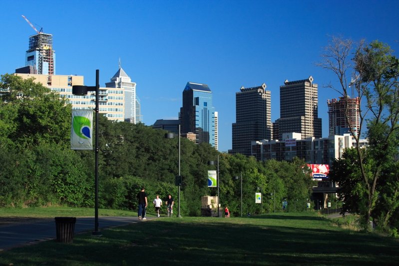
A river trail and an over-water boardwalk negotiate the narrow space between Philadelphia’s infrastructure and the Schuylkill.
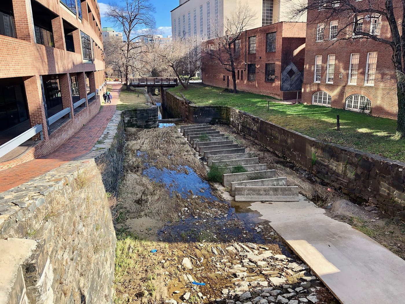
Georgetown’s canal explains how a level-water transport system crossed a changing landscape.
Bob Collowan · CC BY-SA 4.0. Resized; thumbnails may be cropped.
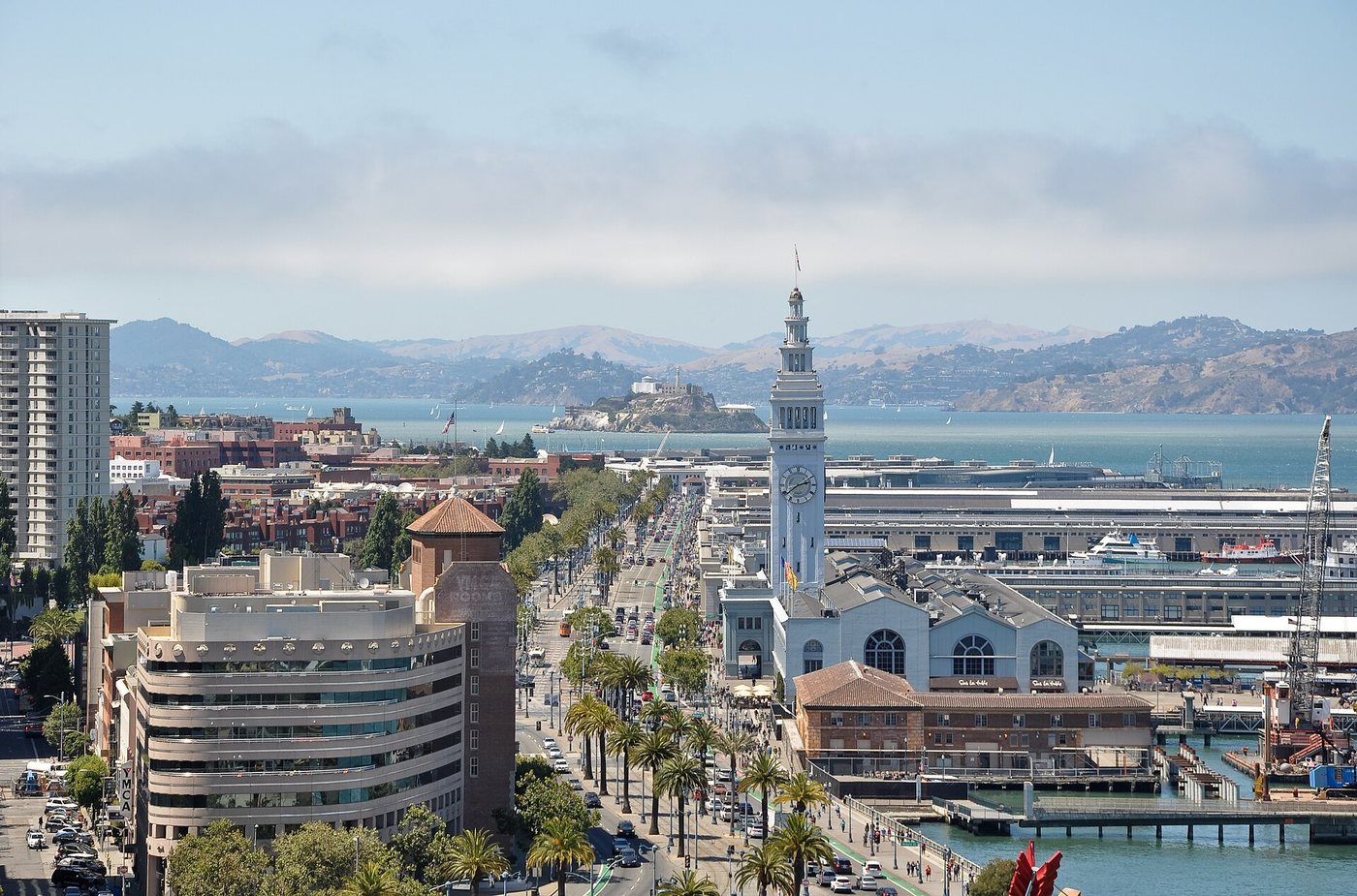
San Francisco’s waterfront promenade sits on the infrastructure of a historic port and faces new engineering demands.
Sharon Mollerus · CC BY 2.0. Resized; thumbnails may be cropped.
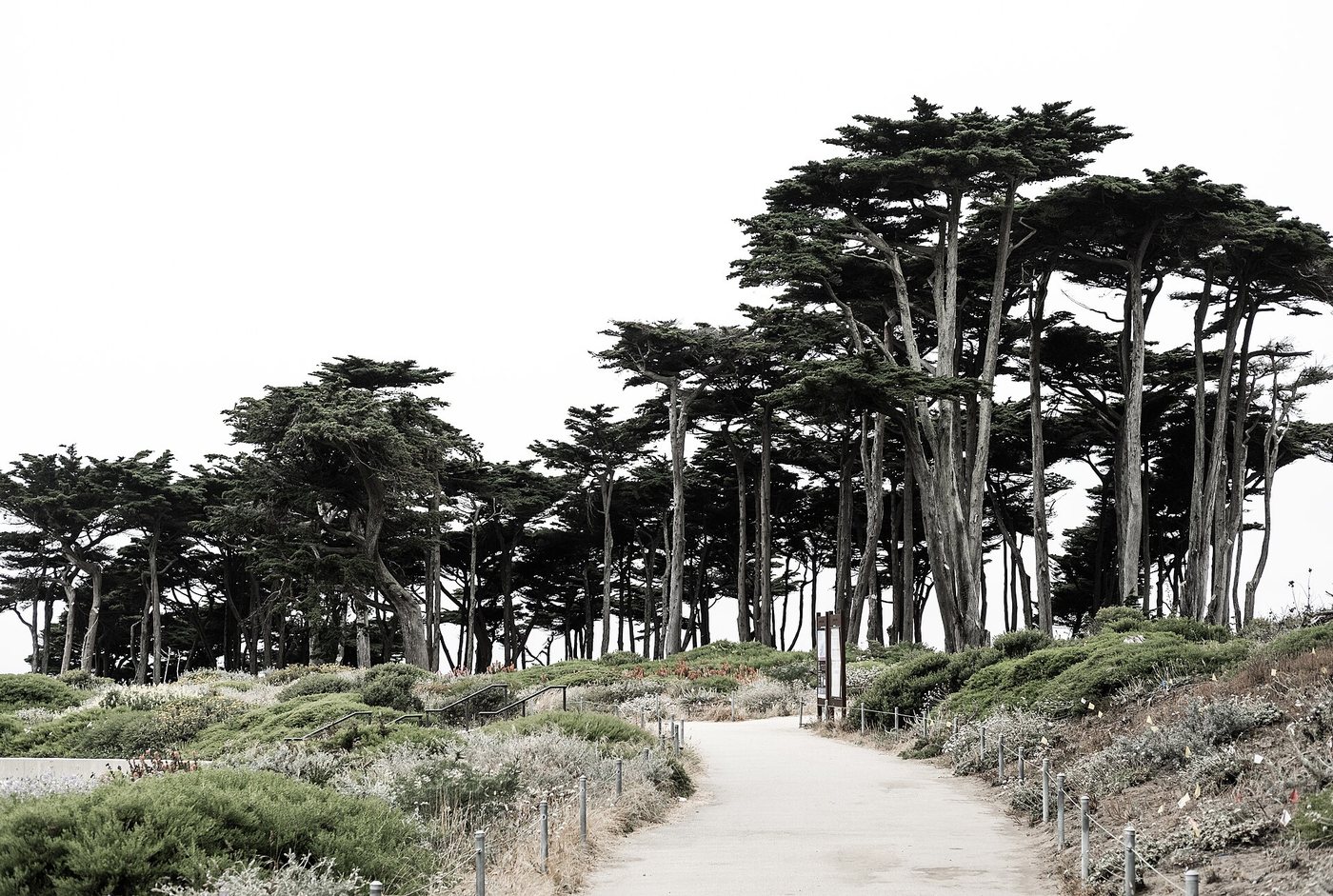
Lands End follows a coastal landscape where an old railway alignment meets unstable cliffs and open water.
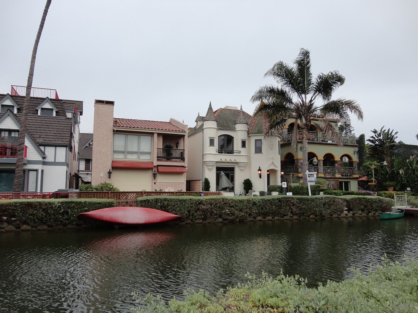
Megha Gupta · CC BY-SA 3.0. Resized; thumbnails may be cropped.
Venice’s surviving canals are a maintained residential landscape with public paths along the water.
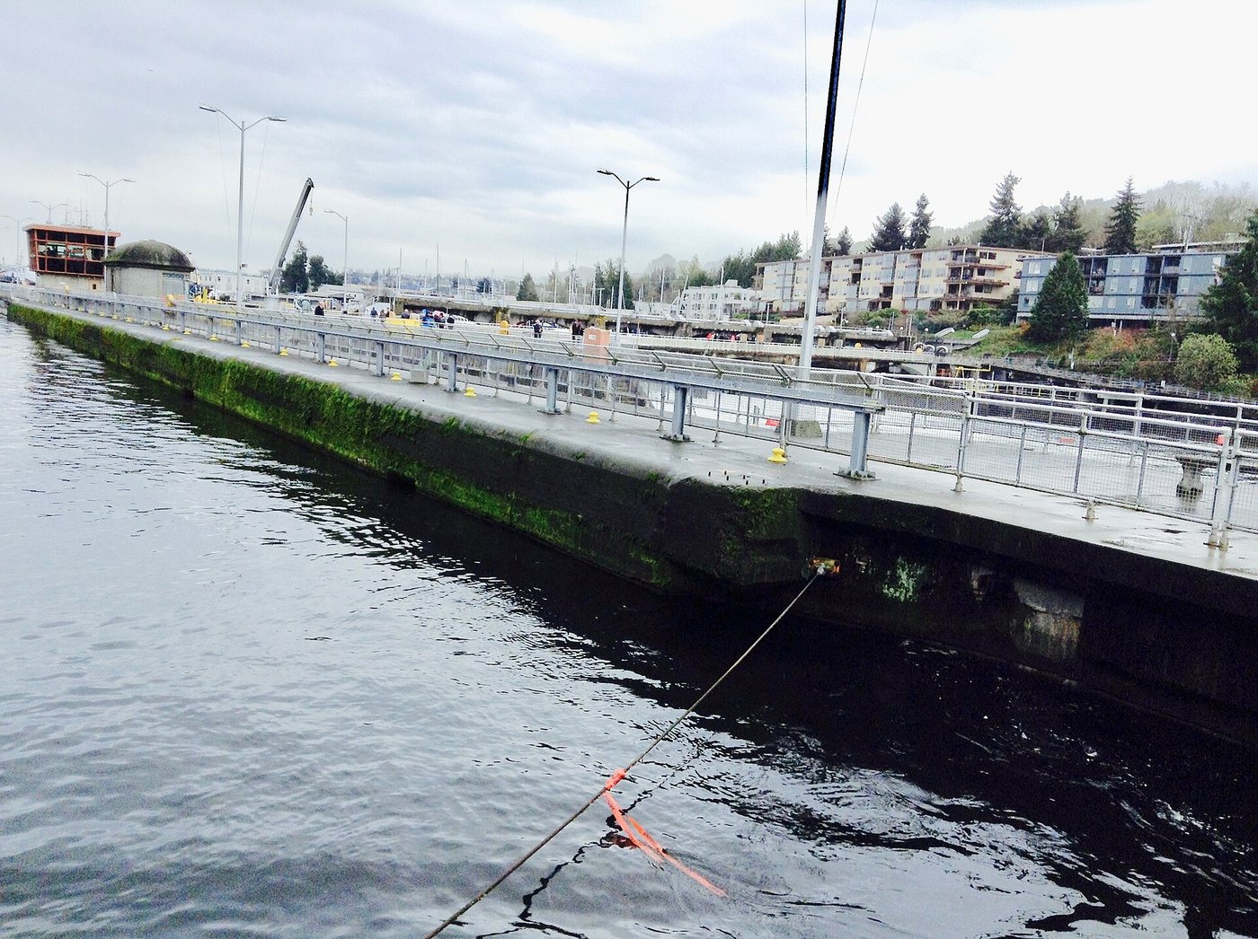
Kingofthedead · CC BY-SA 4.0. Resized; thumbnails may be cropped.
The Ballard Locks connect boats, water levels and fish migration at the boundary between fresh and salt water.
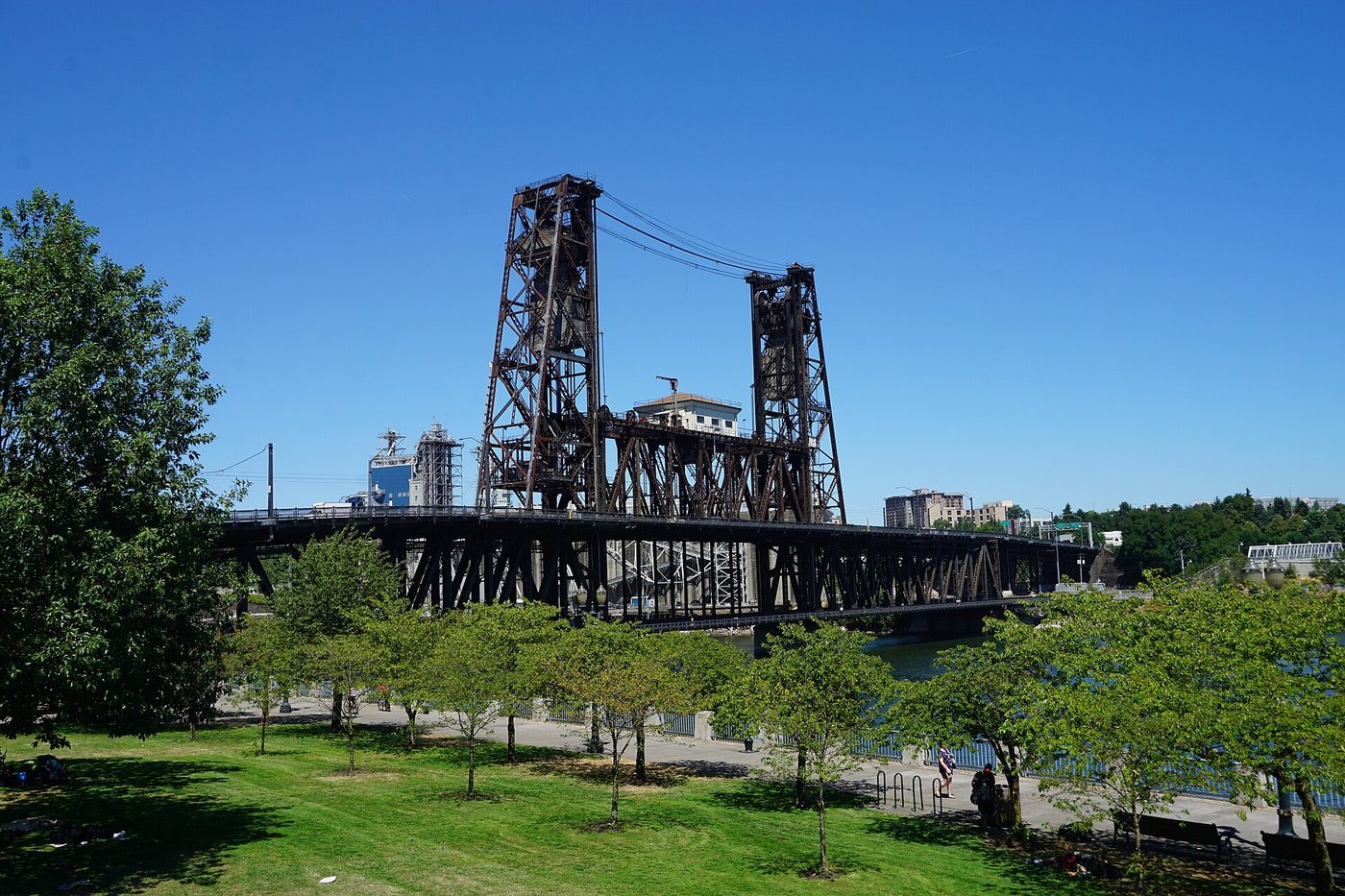
Michael Barera · CC BY-SA 4.0. Resized; thumbnails may be cropped.
Waterfront Park records a deliberate decision to replace a road with public access to the Willamette River.
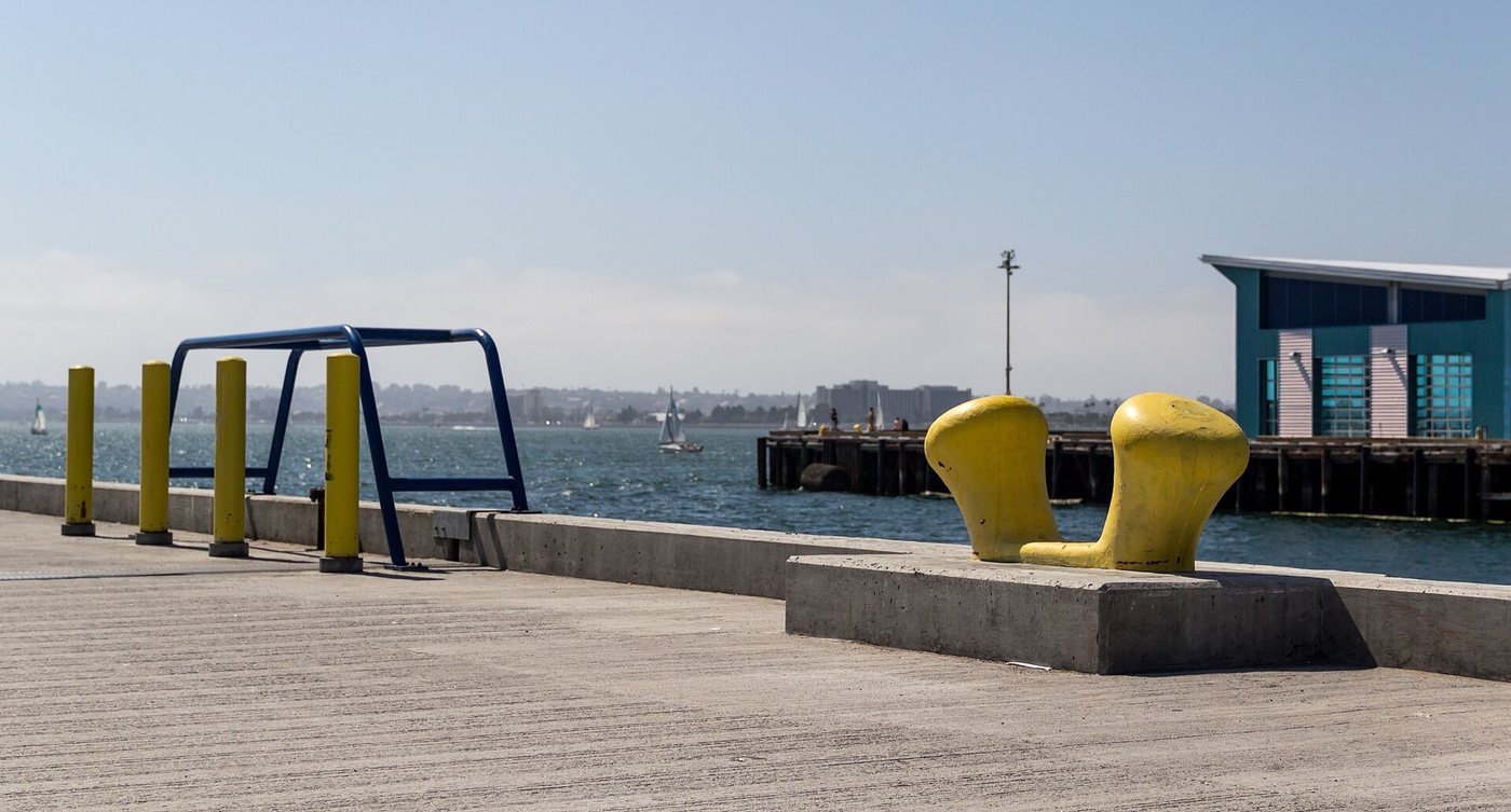
Dietmar Rabich · CC BY-SA 4.0. Resized; thumbnails may be cropped.
San Diego’s Embarcadero combines public paths with maritime operations, museums and changing waterfront development.
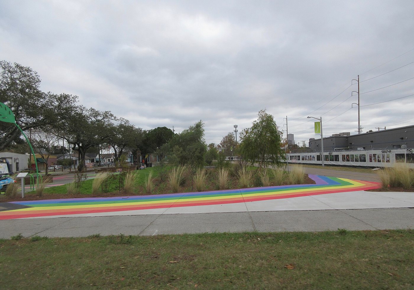
Infrogmation of New Orleans · CC BY-SA 4.0. Resized; thumbnails may be cropped.
A canal and railway corridor now provides a different kind of connection across New Orleans.
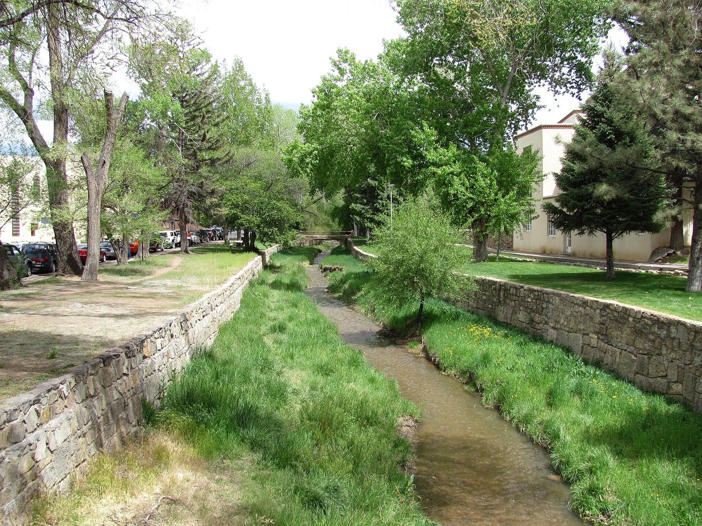
John Phelan · CC BY 3.0. Resized; thumbnails may be cropped.
The Santa Fe River is both an urban landscape and part of a managed mountain-to-city water system.
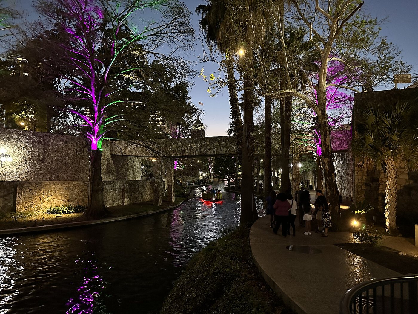
The River Walk changes character from downtown promenade to museum corridor and restored river habitat.
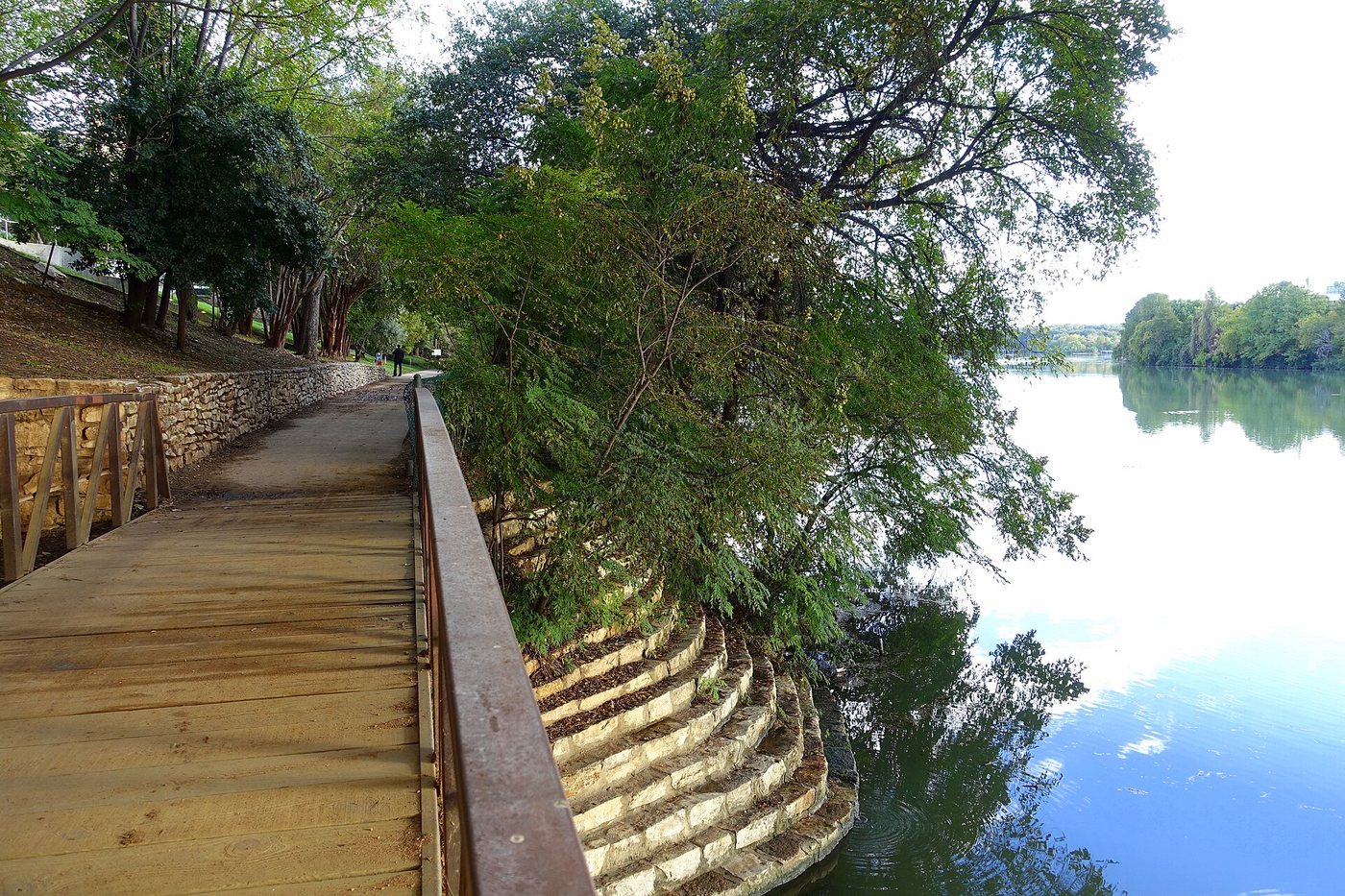
The Butler Trail links Austin’s lakefront through a combination of older shoreline paths, bridges and a later boardwalk connection.
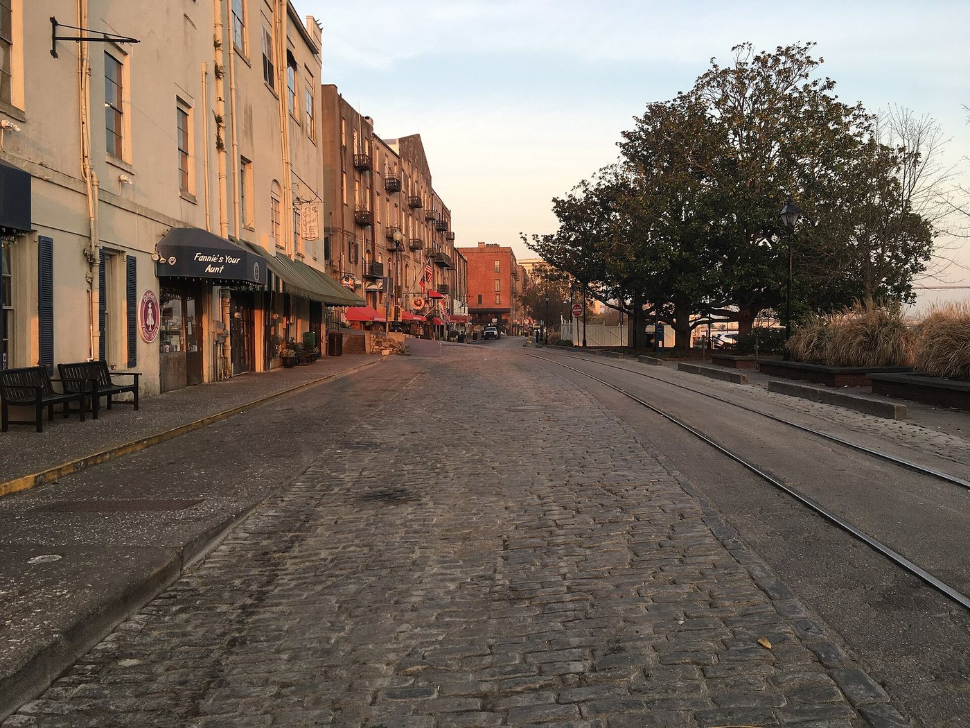
Seasider53 · CC BY-SA 4.0. Resized; thumbnails may be cropped.
River Street’s most distinctive feature is its vertical relationship with the bluff, retaining walls and commercial buildings above it.
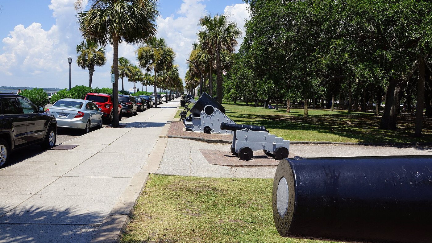
NealVickers · CC BY-SA 4.0. Resized; thumbnails may be cropped.
The Battery is a constructed waterfront edge whose walls and public promenade developed through repeated responses to water and urban growth.
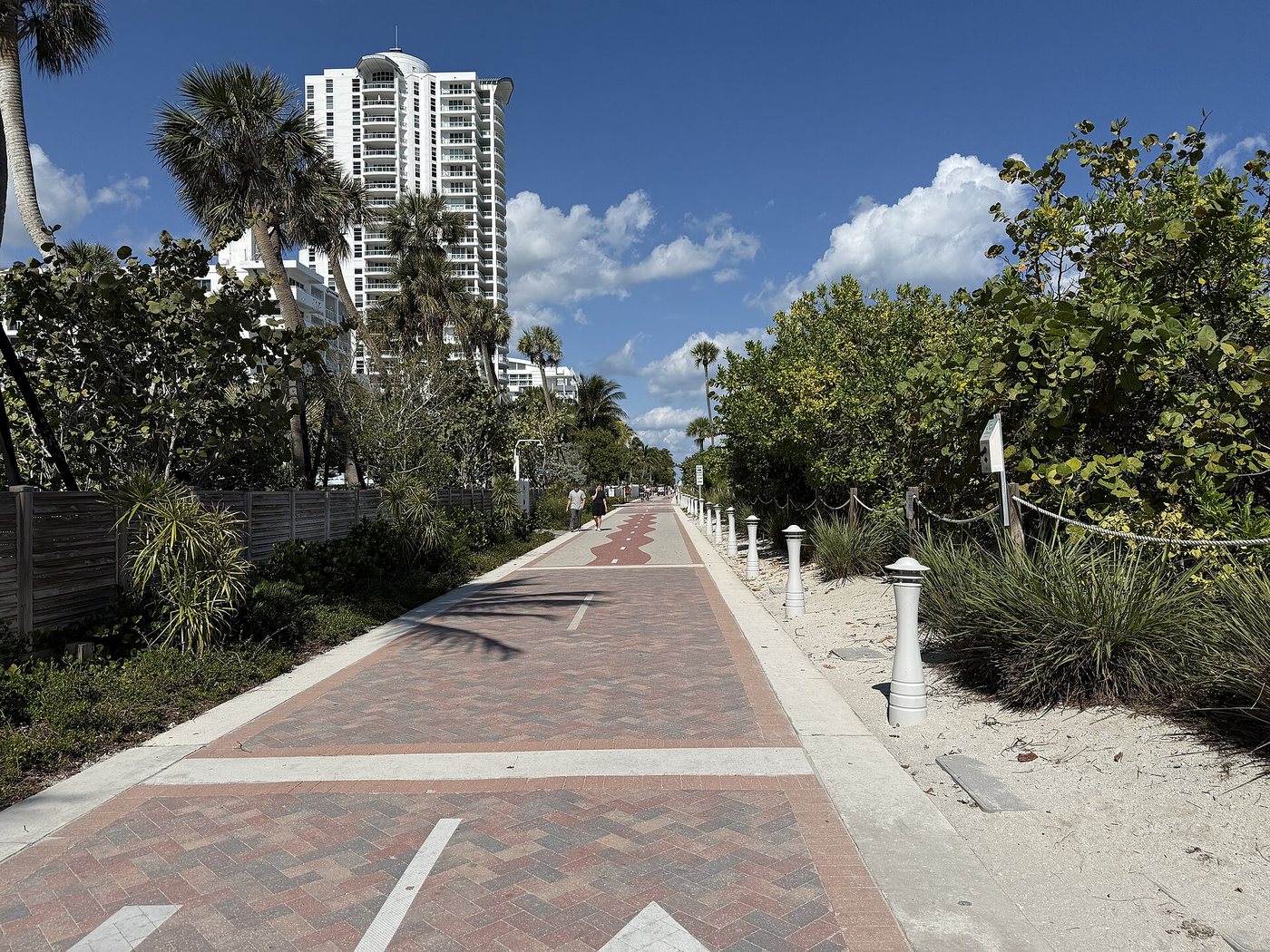
Dough4872 · CC BY-SA 4.0. Resized; thumbnails may be cropped.
Miami Beach’s oceanfront route is now a connected Beachwalk, even though the older name boardwalk remains familiar.
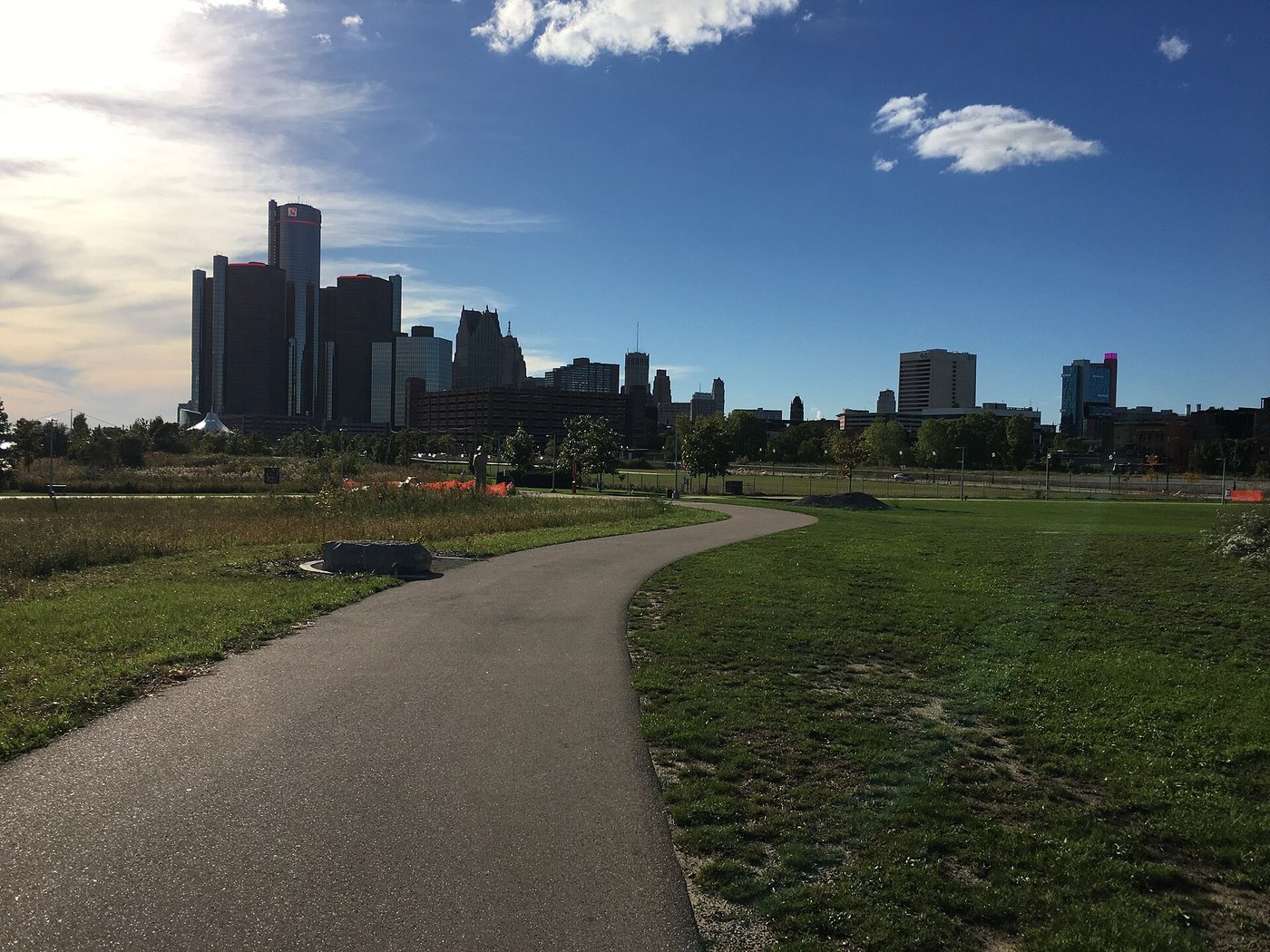
Fredlyfish4 · CC BY-SA 4.0. Resized; thumbnails may be cropped.
How a continuous waterside route emerged from separate parcels, industrial land and neighborhood connections.
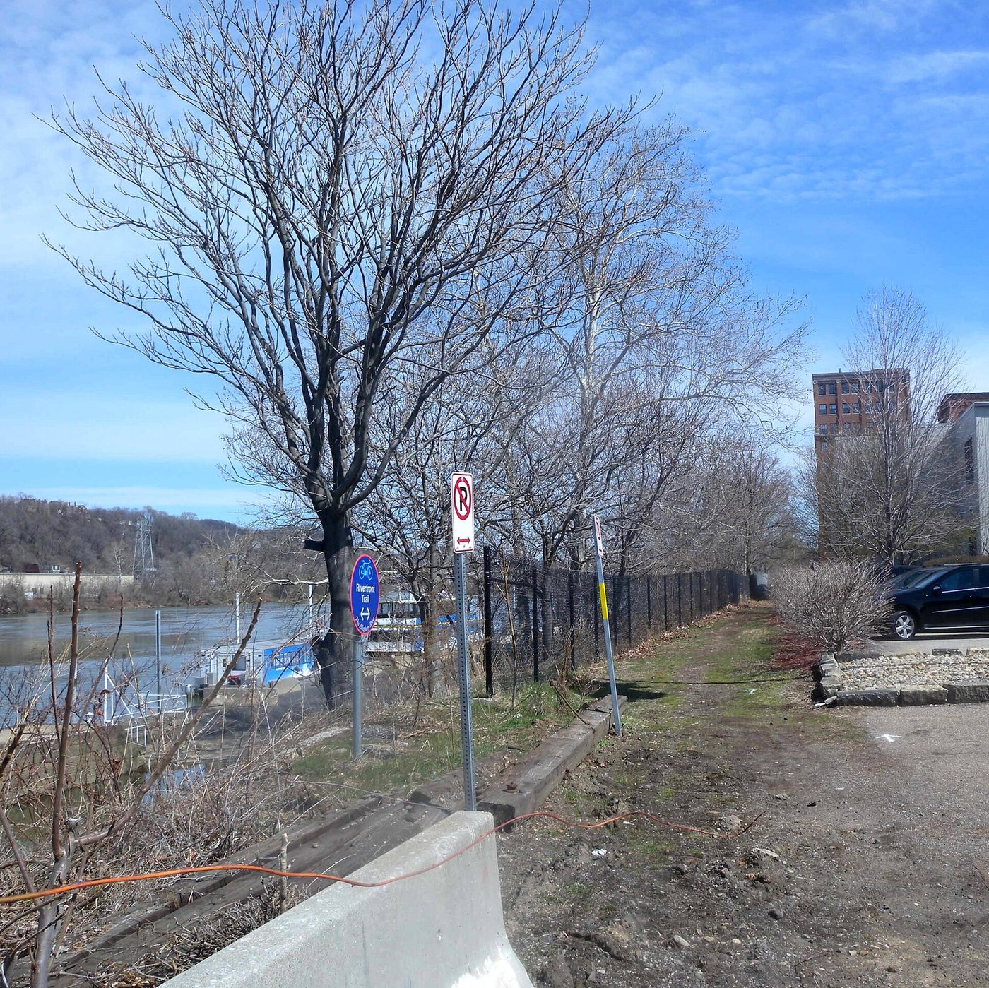
The trail network makes river geography legible, provided that branches and crossings are planned together.
Michael Barera · CC BY-SA 4.0. Resized; thumbnails may be cropped.
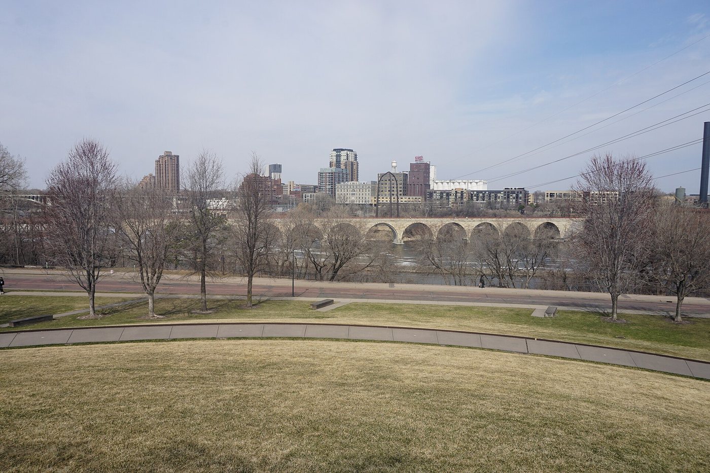
A former railway crossing reveals engineering history as well as the riverfront landscape.
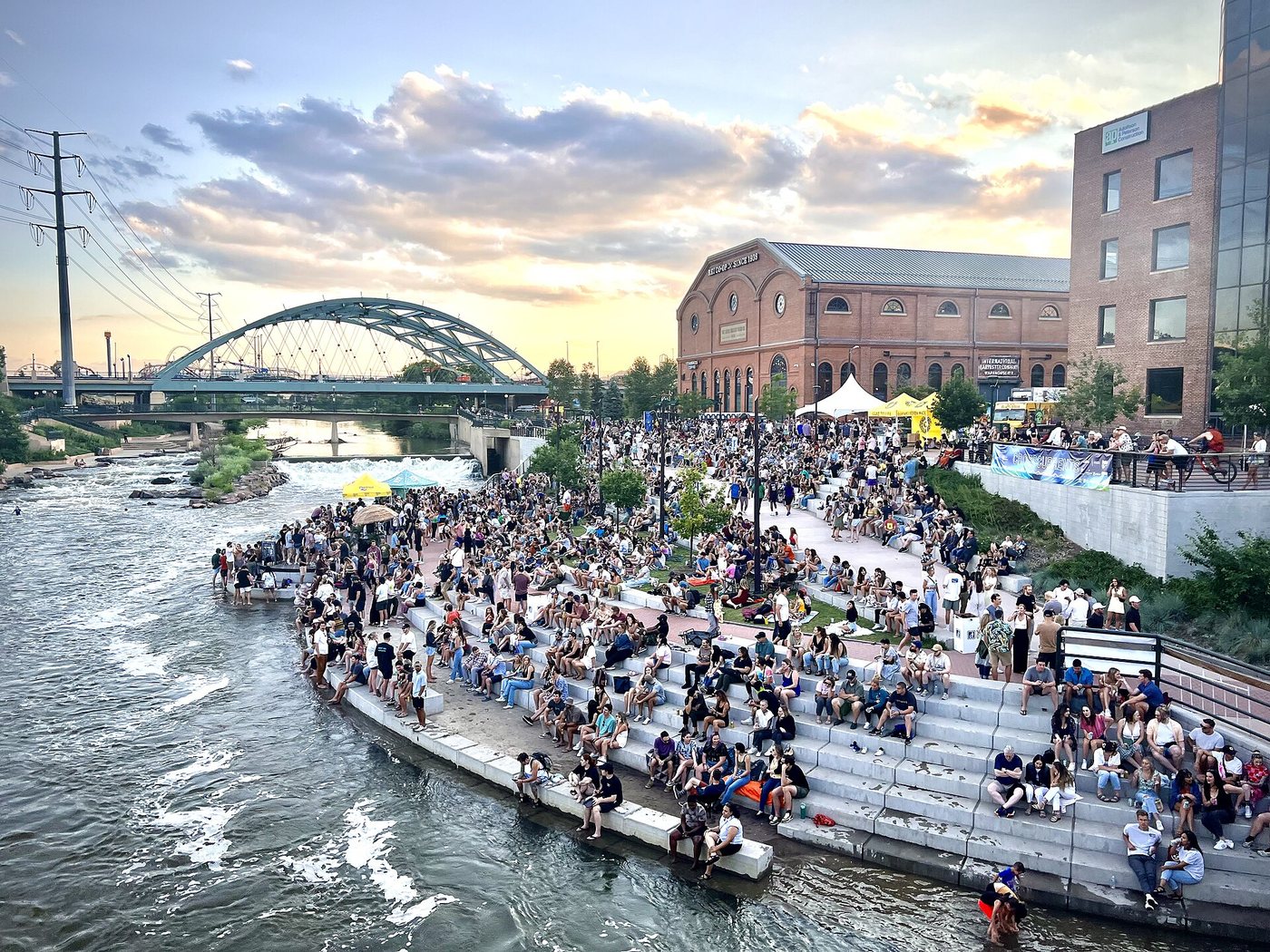
At Confluence Park, the meeting of Cherry Creek and the South Platte River explains both the path network and a long river-restoration effort.
Wilke339 · CC BY-SA 4.0. Resized; thumbnails may be cropped.
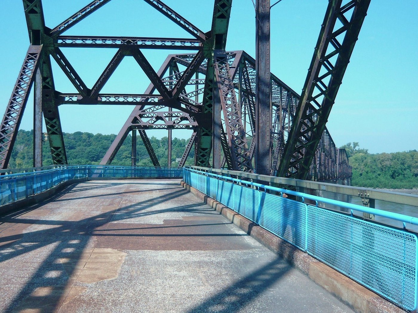
The Old Chain of Rocks Bridge’s bend reflects constraints in the river, while its later reuse turns a former road crossing into a walking and cycling route.
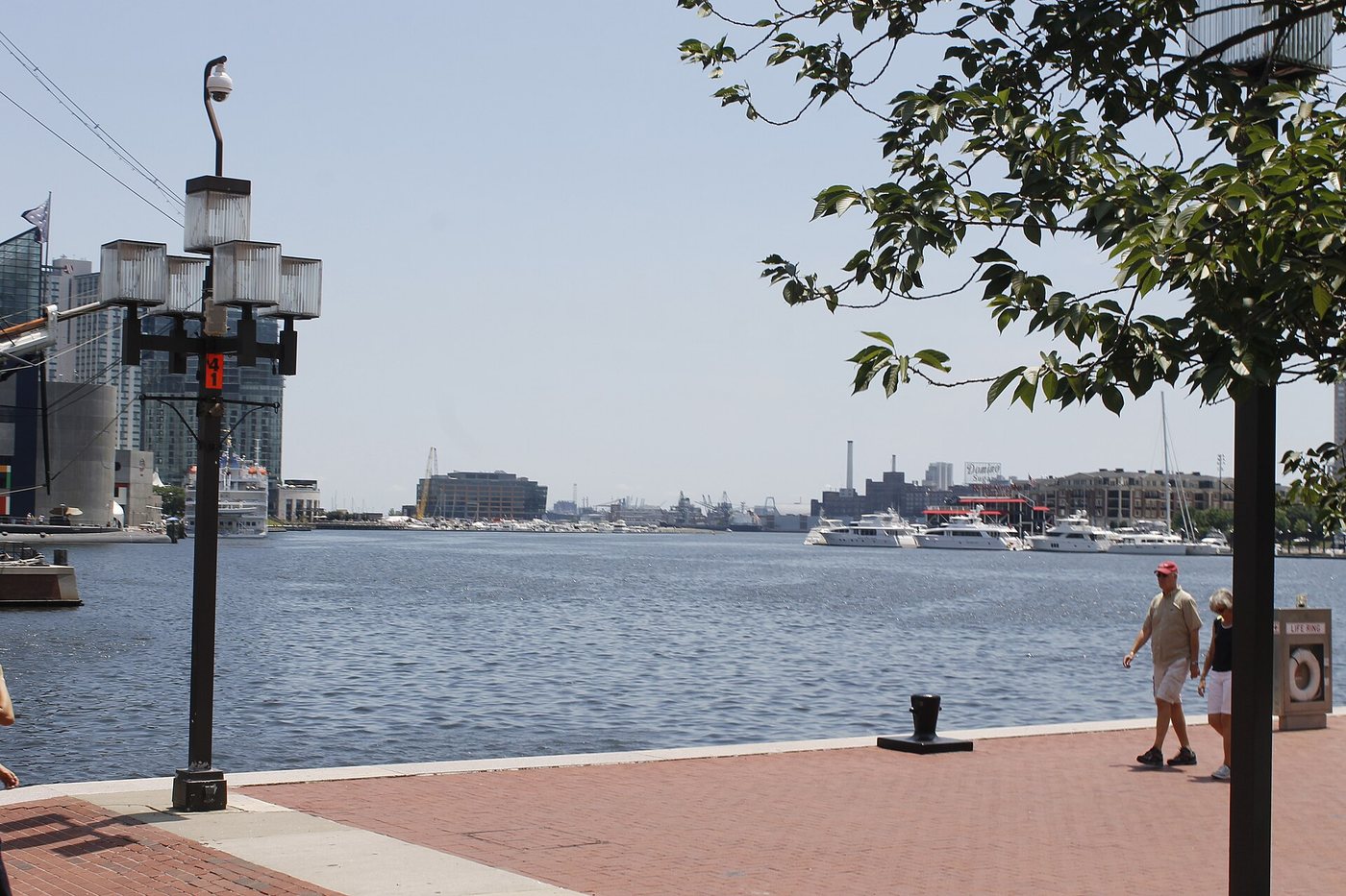
Bohemian Baltimore · CC BY-SA 4.0. Resized; thumbnails may be cropped.
Baltimore’s Inner Harbor can be understood as a changing relationship between water, former port land and a continuous public edge.
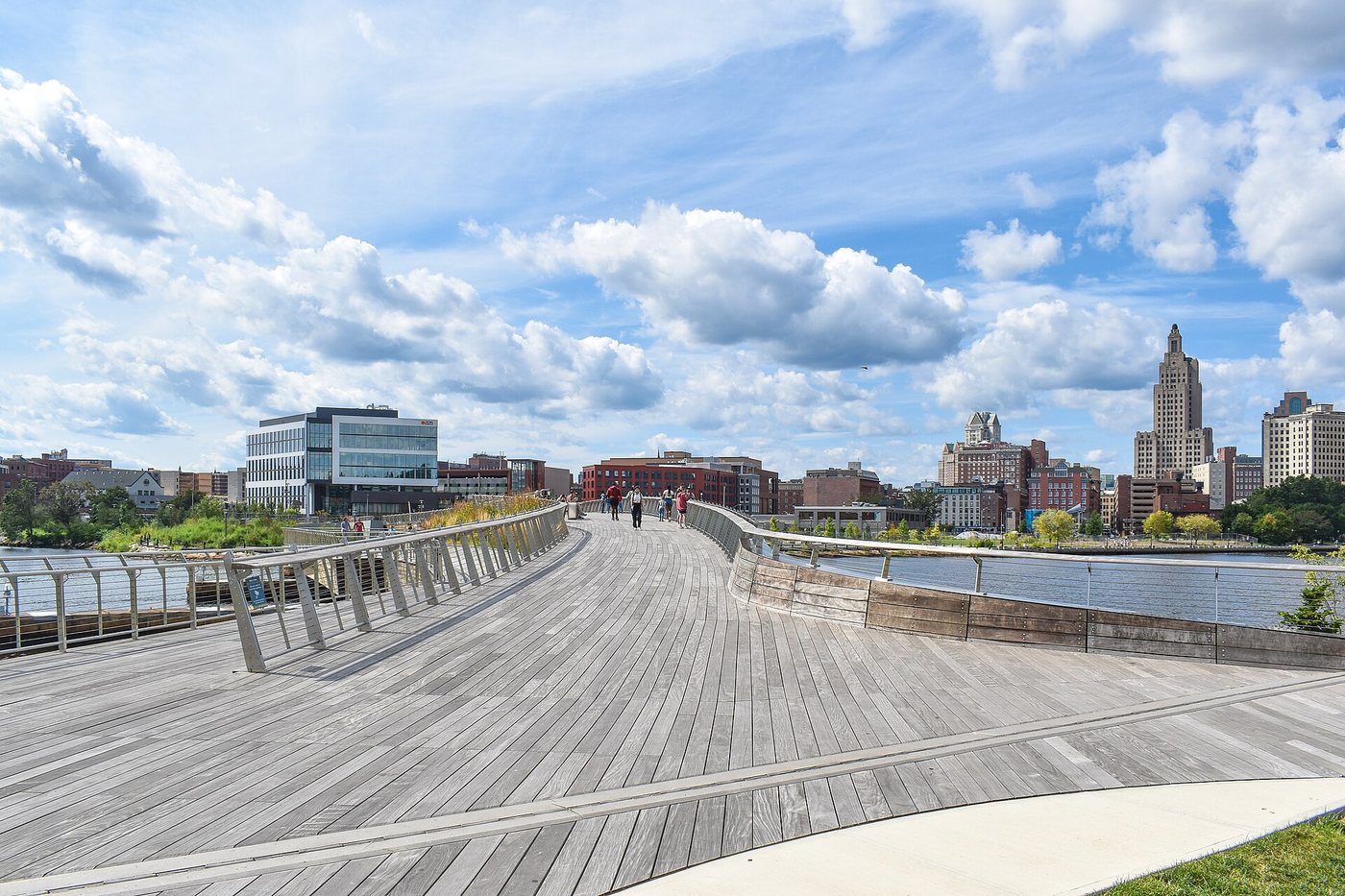
The Michael S. Van Leesten Bridge links the river’s two sides while providing room to pause, gather and look along the water.


.jpg)


.jpg)
,_Embarcadero_--_2012_--_5503.jpg)


.jpg)


.jpg)

