
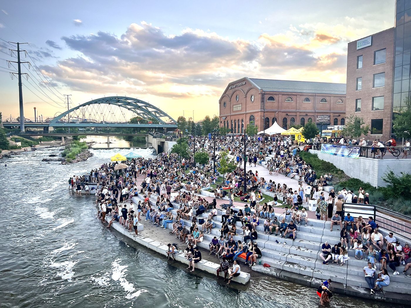
A confluence is a joining of waterways, and Denver’s Confluence Park makes that geographical event visible within the city. Cherry Creek meets the South Platte River here. Paths, bridges and landscaped banks allow visitors to follow the relationship between the two channels rather than seeing the water only from a road crossing.
A river changed from a back edge into a destination
The Greenway Foundation dates the opening of the initial Confluence Park to 1975. It emerged from efforts to reclaim a river corridor that had suffered from pollution and neglect. The foundation’s own formation in 1976 followed the work of the Platte River Development Committee, showing that the park was part of an organized sequence of advocacy and investment.
The foundation’s history also records later parks, trail connections and environmental education. That wider sequence matters because a small attractive site cannot by itself restore an entire river. Water arrives from upstream, paths continue beyond the park, and maintenance has to respond to conditions across a larger corridor.
The modern landscape should not be read as the beginning of the place’s human history. Indigenous people used these waterways before Denver’s development. The foundation’s account includes public art commemorating Chief Little Raven and the Indigenous history associated with the river and creek.
Let the channels organize the walk
Begin by identifying which watercourse you are beside and where it joins the other. Then compare the direction of the paths with the direction of flow. A river trail can provide a route through the city that differs from the street grid above it.
Bridges make several short loops possible, but a loop on a map is useful only if its approaches are open and suitable for the people taking it. Check crossings and gradients on the ground. Shared paths also require attention to cyclists and other moving users, particularly where sightlines narrow at an underpass or turning point.
The landscaped water edge is not an assurance that entering the water is appropriate. Flow, weather and water-quality conditions can change independently of how inviting the banks appear. A walk can explain the river’s role without becoming an unplanned water activity.
Look beyond the meeting point
From the confluence, extend attention to the surrounding buildings and trail connections. The park works as both a place to stop and a junction within a longer network. These are complementary functions: a visitor can stay near the water while a commuter passes through on a journey elsewhere.
That combination is the lasting urban change represented here. The waterways remain moving environmental systems, but the public landscape gives them a place in everyday movement and recreation instead of leaving them hidden behind the city’s working edges.
.jpg)
