
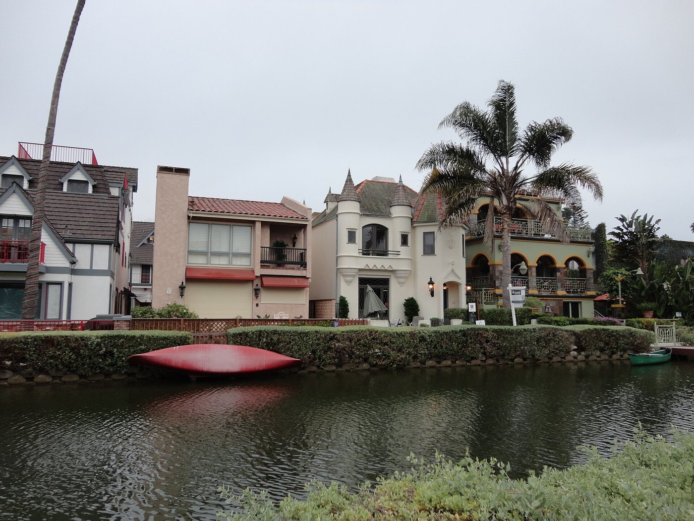
The Venice canals create a different pattern of movement from the nearby beach streets. Narrow waterways, pedestrian bridges and bank-side paths organize a residential district in which water occupies space that elsewhere might be given to a road. The setting is historic, but its present condition also depends on a substantial rehabilitation completed in 1993.
A larger canal idea left different traces
Early Venice development used canals as part of a vision inspired by the Italian city. Not all of that network survives. Los Angeles’s historic survey distinguishes the lost Venice of America canals, filled and paved in 1929, from the remaining waterway district.
That distinction prevents a common mistake: assuming every curving street and every surviving canal belongs to one unchanged system. Some routes preserve the shape of waterways that no longer contain water. The present canals should be read as a surviving portion of a more complicated development history.
Restoration rebuilt the edges
The rehabilitation completed in December 1993 involved dredging, new canal banks, public walkways, bridge reconstruction and planting. These interventions changed the material condition of the landscape while maintaining its basic relationship between houses, paths and water.
The banks are therefore engineered edges, not natural stream margins. Their construction affects drainage, access and the stability of adjacent ground. Maintenance remains part of what makes the district possible, even when the water and small bridges create an apparently effortless scene.
Public paths and private homes
Walkways run along the canals, allowing people to experience the water at close range. Houses, gardens and entrances stand immediately beside that public route. The closeness is a defining feature of the district, but it also requires a clear distinction between the path and private property.
The bridges connect the two sides and offer changes in viewpoint. They also introduce gradients and transitions that should be considered when choosing a route. A short loop with a known street connection is more useful than assuming every path provides the same access conditions.
The canals are best understood as residential infrastructure that has become a place of public interest. Their historical character lies in the arrangement of water, lots and crossings, while their continued use depends on repair and care. Neither the picturesque appearance nor the presence of visitors turns the surrounding homes into a public attraction.


_01.jpg)
