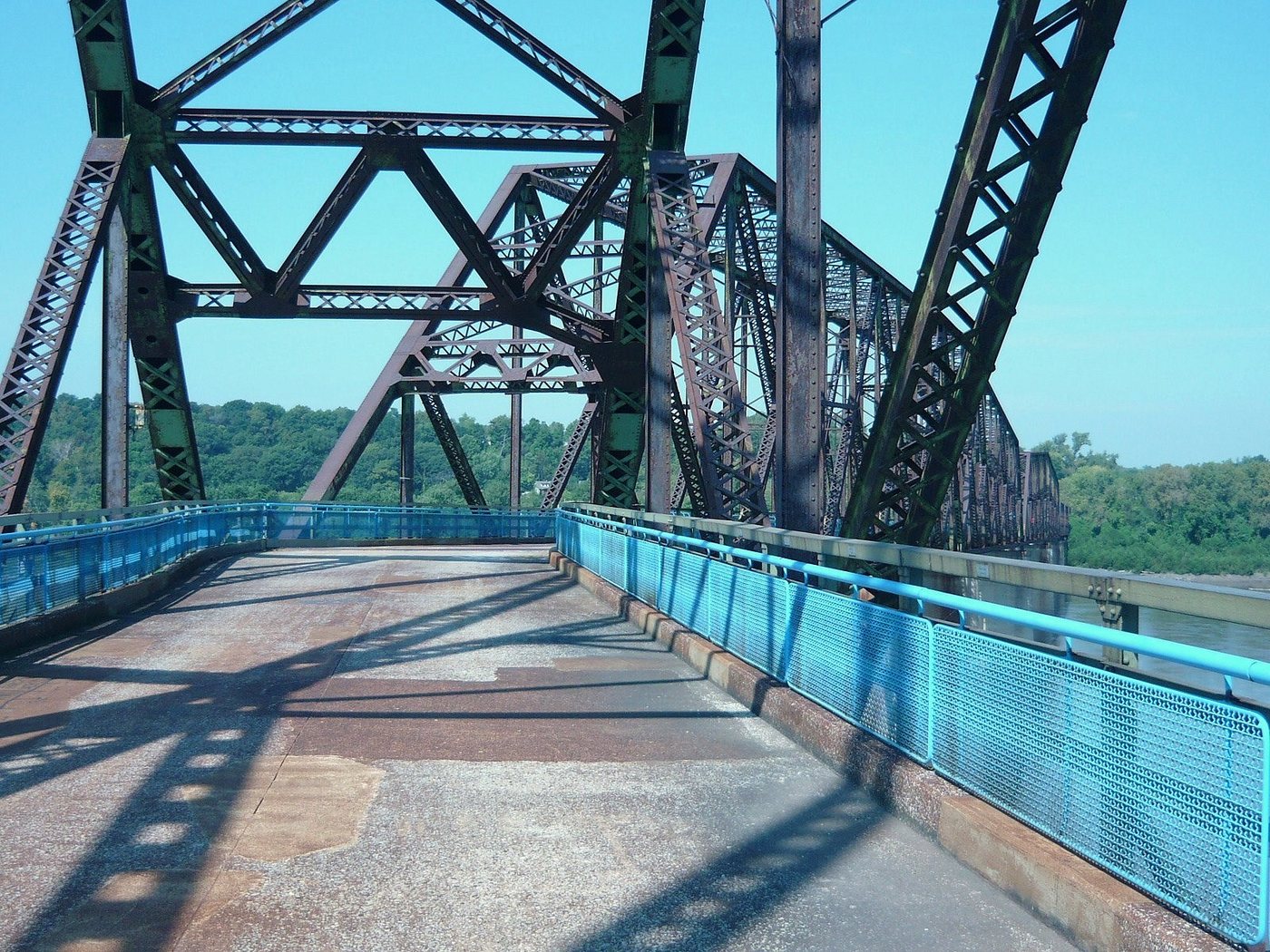
The Old Chain of Rocks Bridge is recognizable for the change in direction partway across the Mississippi. The bend is a clue to the engineering and navigation conditions that shaped the crossing. On foot, it is possible to experience that geometry much more slowly than the motorists who once used the bridge.
Why the alignment changes
The National Park Service describes an initial plan for a straight bridge. Navigation concerns around water-intake towers and the suitability of bedrock for the piers contributed to the revised alignment. The resulting turn was a response to conditions at the site, rather than decoration added to an otherwise straightforward crossing.
The bridge opened in 1929 after construction delays caused by river conditions. Route 66 was later directed across it. A newer highway bridge opened upstream in 1967, and the old crossing closed to motor traffic in 1968. Its familiar road history thus covers only part of its existence.
The river’s working character helps explain the structure. Bridge piers occupy space used by moving water and vessels, while their foundations must carry loads into suitable ground. A line that appears shortest on a flat map is not automatically the most workable alignment in three dimensions.
A former roadway becomes a slower route
The old bridge now accommodates walking and cycling within the regional greenway network. The steel members frame a succession of views, and the bend changes the line of sight along the deck. An out-and-back walk allows the same structure to be seen with different light and orientation on the return.
Share the route with moving cyclists and pause where you can look without blocking circulation. The bridge is a long exposed crossing, so decide in advance whether to walk its full length or only part of it. A shorter visit can still explain the alignment and relationship to the river.
Distinguish the historic bridge from the separate canal crossing on the Illinois approach. Access to one is not proof that the other is available. The distinction matters when planning a through route, a pickup on the far side or a return journey.
Check the approach as well as the bridge
Great Rivers Greenway’s 2026 notice reports that construction closes the Illinois canal-bridge approach while the Old Chain of Rocks Bridge remains accessible from Missouri. Use the operator’s current park and trail notices before traveling, since the relevant closure concerns the approach rather than the historic river span itself.
This is a useful example of how a landmark sits within a larger network. The bridge may be open, yet the trip a visitor has imagined may still be interrupted by work elsewhere. Maps of the whole approach are more useful than a pin placed in the middle of the river.
Once the route is established, let the structure explain its own history: a roadway narrowed by changing transport demands, preserved for slower movement, and still shaped by the physical demands of crossing the Mississippi.