Lafayette Square is a neighborhood whose central open space helps explain the surrounding houses. The park provided a shared outlook and an organizing edge for residential development. A circuit around it reveals both the regularity of that relationship and the differences between individual blocks.
Public ground and private frontage
The city traces the park’s origins to land set aside during the disposition of the St Louis Commons in the 1830s. Development around the park gathered pace later in the nineteenth century. Houses facing the open ground gained an outlook that differed from a typical street with buildings on both sides.
Benton Place, laid out in 1866 and designed by Julius Pitzman, represents another form of residential organization nearby: the private street. Its history makes an instructive comparison with the public park. Both use shared space to structure a residential setting, but ownership and access are different questions.
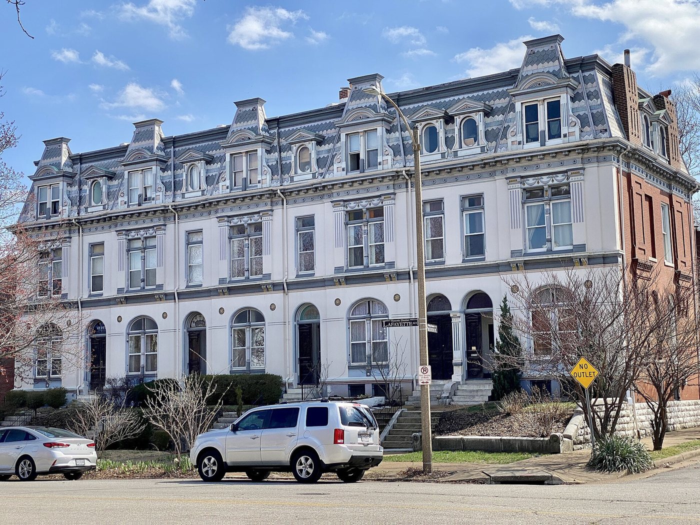
From public streets, compare setbacks, entrances, rooflines and the width of house fronts. A consistent street wall can contain buildings from different campaigns. Similar colors or restored details should not be taken as proof that every house was built at the same time.
The tornado interrupted the landscape
On May 27, 1896, a tornado severely damaged the neighborhood and park. The city’s account describes uprooted trees and the loss of ornamental structures. The landscape visible today therefore cannot be read as an untouched survival of the park’s earliest planting.
Reconstruction and later changes in residential use added further layers. A historic district contains repairs, adaptations and restoration choices alongside older fabric. Asking which elements survived, which were rebuilt and which were introduced later produces a more accurate picture than looking for a perfectly preserved moment.
Trees are particularly important to that distinction. Mature planting can give a park a strong sense of continuity, but an individual tree belongs to a biological lifespan rather than the full institutional age of the place. Landscape history requires attention to replacement and care as well as original design.
Walk the boundary between house and park
A park-side circuit offers repeated opportunities to compare domestic entrances with public paths. At a corner, look back along both streets to see how the neighborhood changes as it moves away from the open space. The park’s influence is strongest at its immediate frontage, but it also supplies orientation for nearby blocks.
Keep the distinction between public streets, park paths and private property clear. A house’s historical interest does not make its porch or garden part of a visitor route. Exterior observation is enough to understand the relationship between residential scale and the larger landscape.
The neighborhood’s appeal as a place to walk comes from that relationship. The park gives room and continuity; the surrounding buildings provide varied edges and evidence of how people have repeatedly invested in living beside it.