
Acroterion · CC BY-SA 4.0. Resized; thumbnails may be cropped.

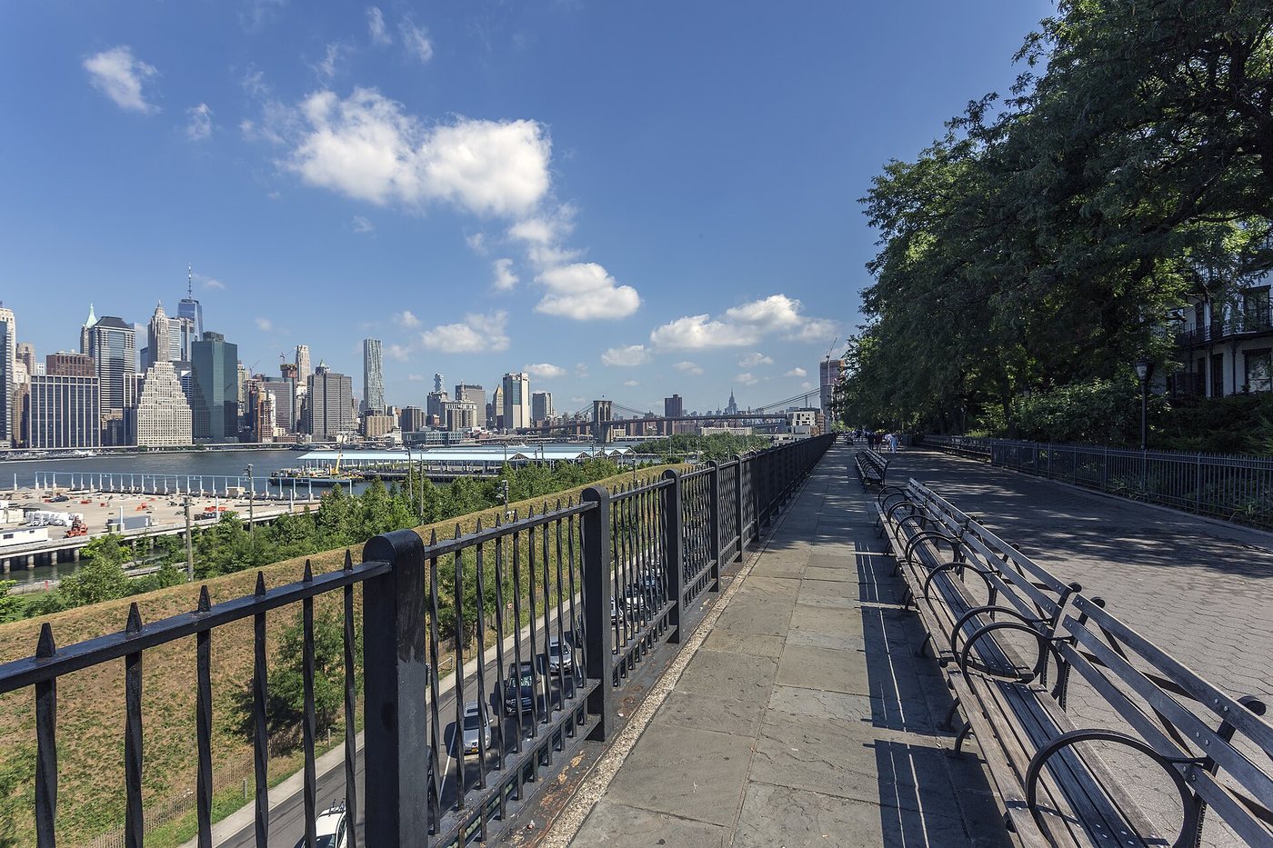
Brooklyn Heights: a residential neighborhood above a working waterfront
The streets of Brooklyn Heights and the riverfront below them tell related stories at different elevations.
37 articles
Read the streets, buildings and overlapping histories of city neighborhoods.
Acroterion · CC BY-SA 4.0. Resized; thumbnails may be cropped.
The streets of Brooklyn Heights and the riverfront below them tell related stories at different elevations.
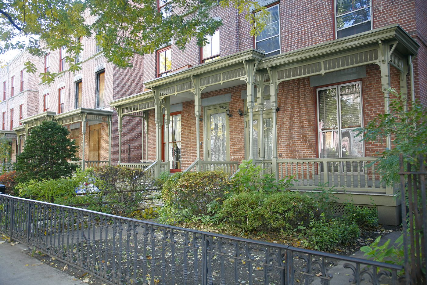
Astor Row’s porches and setbacks distinguish one Harlem block without standing in for the whole neighborhood.
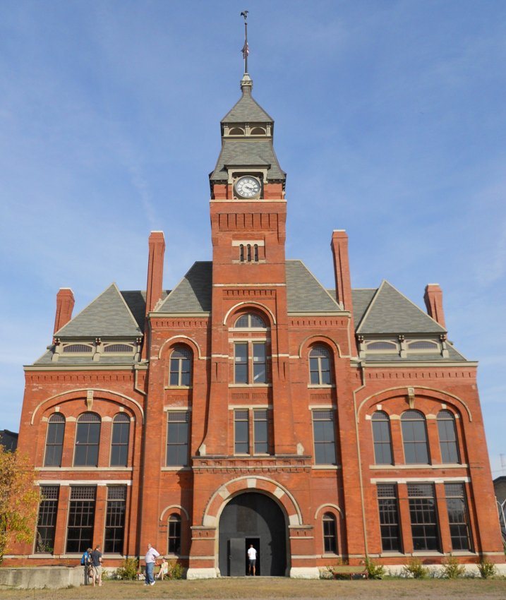
Pullman’s houses and factory buildings connect urban design to labor conflict, racial exclusion and the question of who controlled a company town.
Adam Jones from Kelowna, BC, Canada · CC BY-SA 2.0. Resized; thumbnails may be cropped.
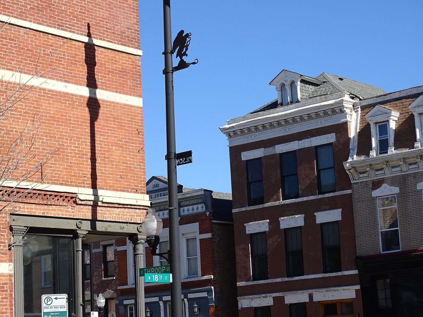
Pilsen’s murals belong to a neighborhood of institutions, homes and businesses, and their meanings extend beyond a photograph.
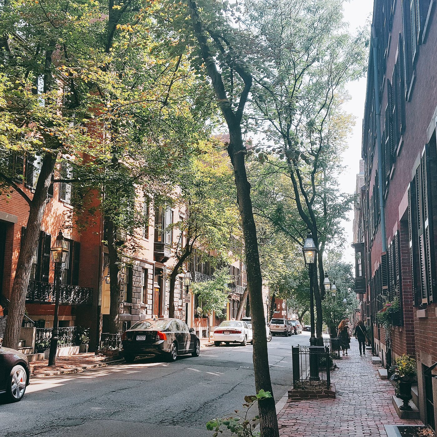
Swativ28 · CC BY-SA 4.0. Resized; thumbnails may be cropped.
Beacon Hill’s south-facing houses and its north-slope Black heritage reveal different histories within the same compact district.
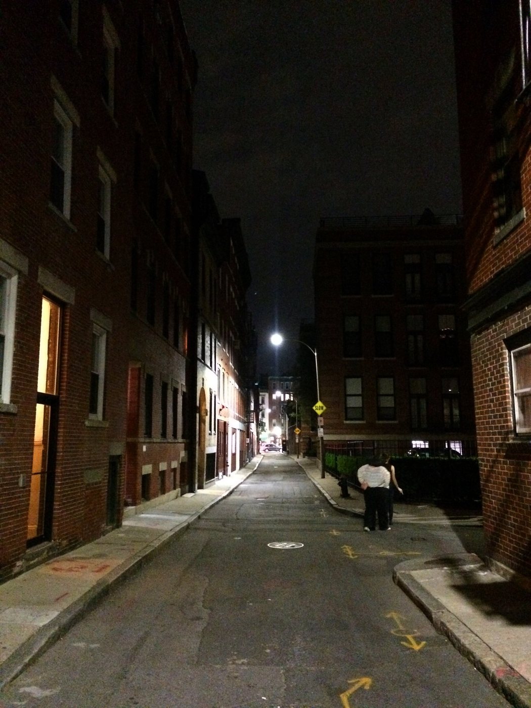
Andre Carrotflower · CC BY-SA 4.0. Resized; thumbnails may be cropped.
The North End’s buildings carry maritime, Black, Irish, Jewish and Italian histories that overlap.
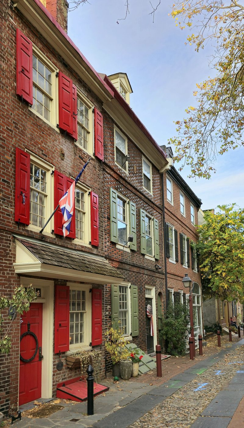
Nikanavi · CC BY-SA 4.0. Resized; thumbnails may be cropped.
A narrow residential lane preserves evidence of trades and households near Philadelphia’s early waterfront.
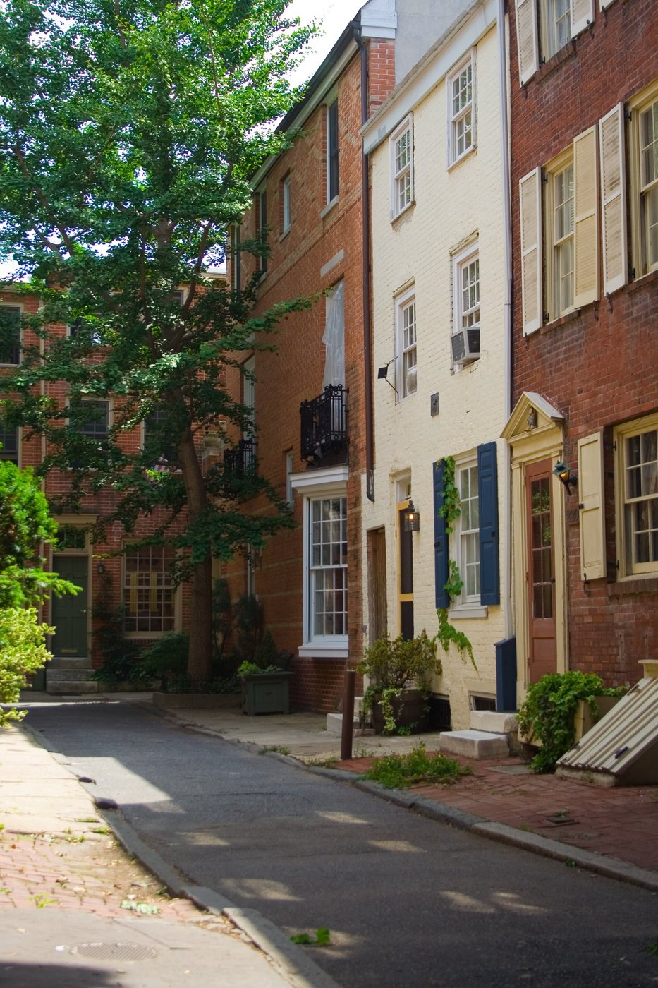
Kelly Anne Martin (kellygrape) from Philadelphia · CC BY-SA 2.0. Resized; thumbnails may be cropped.
Society Hill combines surviving early houses, selective restoration, modern infill and the consequences of urban renewal.
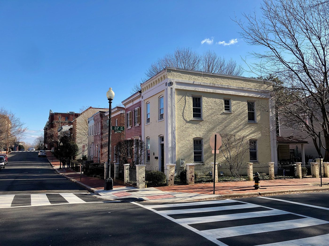
Georgetown’s commercial streets grew from an older port whose history includes tobacco, skilled work and enslavement.
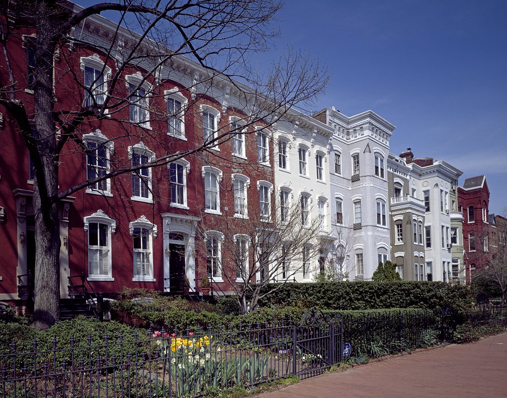
Capitol Hill’s residential streets record the growth of a working neighborhood beside federal institutions.
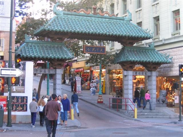
Original uploader was Ванка5 at bg.wikipedia · CC BY-SA 3.0. Resized; thumbnails may be cropped.
Chinatown’s rebuilt streets reflect community resistance, commercial strategy and everyday urban life.
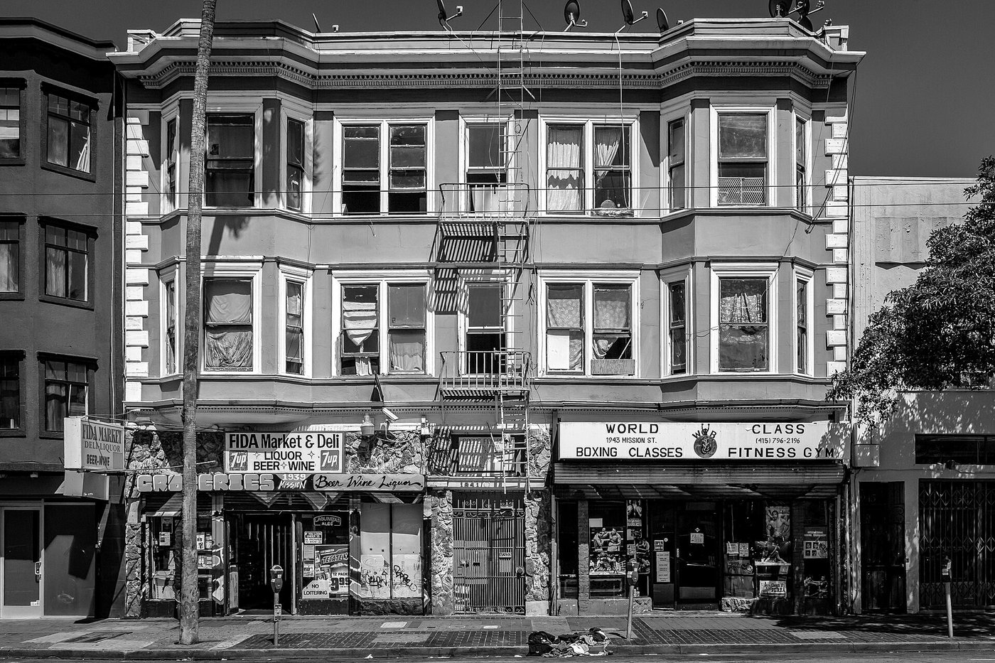
Mobilus In Mobili · CC BY 2.0. Resized; thumbnails may be cropped.
The Mission’s cultural geography includes murals, businesses and institutions whose survival depends on people being able to remain.
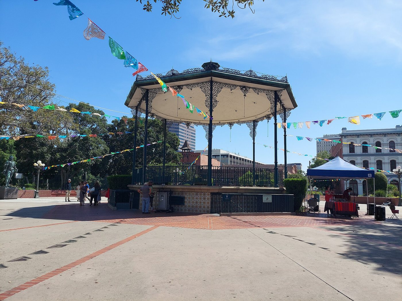
The plaza area preserves buildings from several periods rather than one intact founding moment.
RightCowLeftCoast · CC BY-SA 4.0. Resized; thumbnails may be cropped.
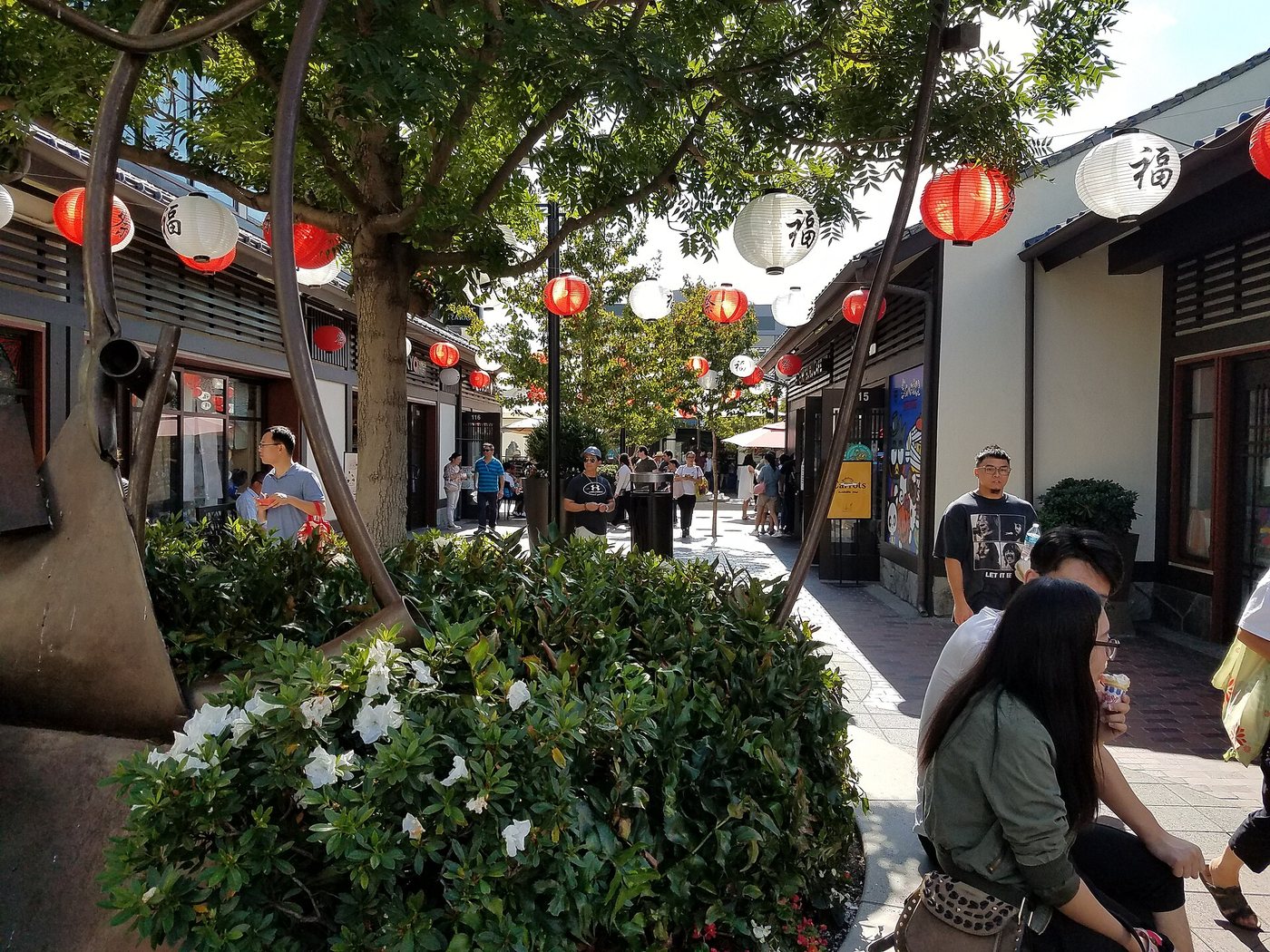
Little Tokyo’s buildings record community formation, forced removal and repeated pressures on the neighborhood.
Joe Mabel · CC BY-SA 3.0. Resized; thumbnails may be cropped.
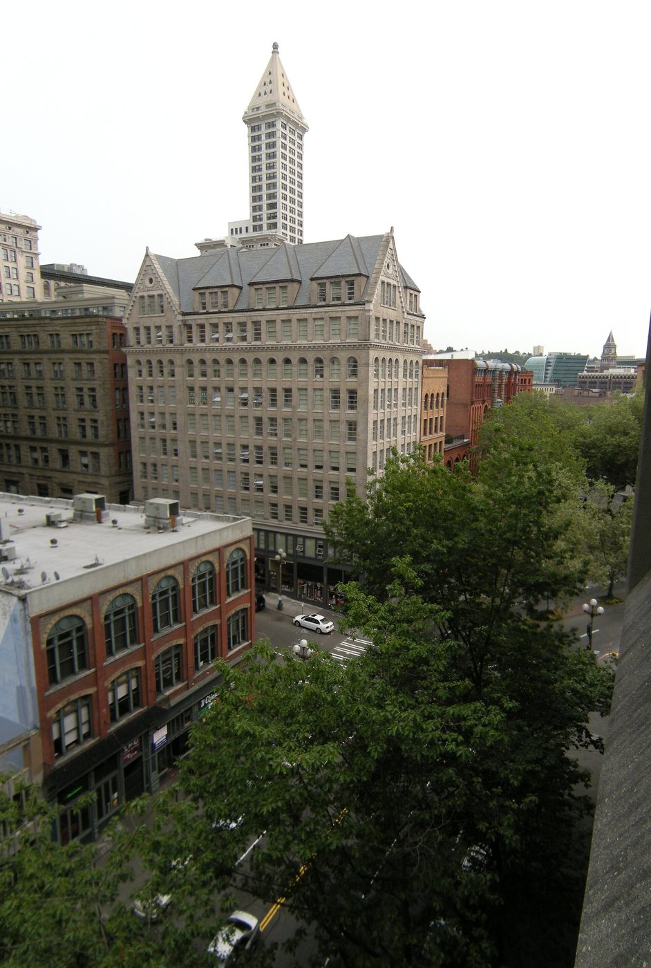
Pioneer Square’s masonry streetscape records rebuilding after fire and later resistance to demolition.
ZhengZhou · CC BY-SA 3.0. Resized; thumbnails may be cropped.
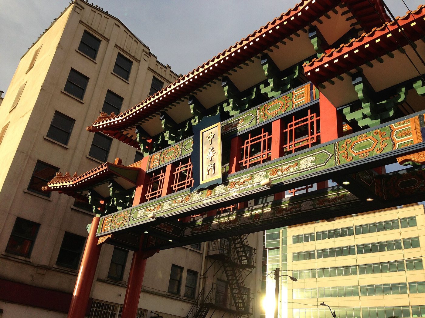
Seattle’s Chinatown–International District contains overlapping community histories rather than one uniform identity.
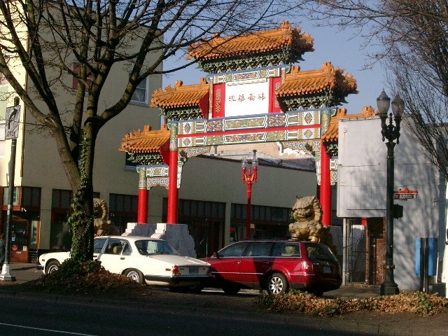
Ajbenj at English Wikipedia · CC BY-SA 3.0. Resized; thumbnails may be cropped.
Old Town Chinatown contains intersecting historic districts and community histories that do not share one simple boundary.

Old Town’s plaza and buildings interpret several periods of San Diego history, including restoration and reconstruction.
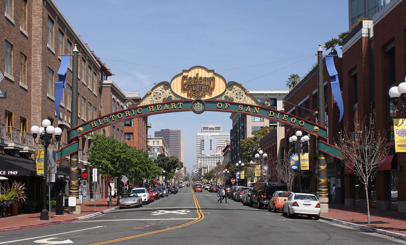
Bernard Gagnon · CC BY-SA 3.0. Resized; thumbnails may be cropped.
The Gaslamp Quarter’s historic commercial buildings belong to the growth of a downtown near the bay and its later preservation.
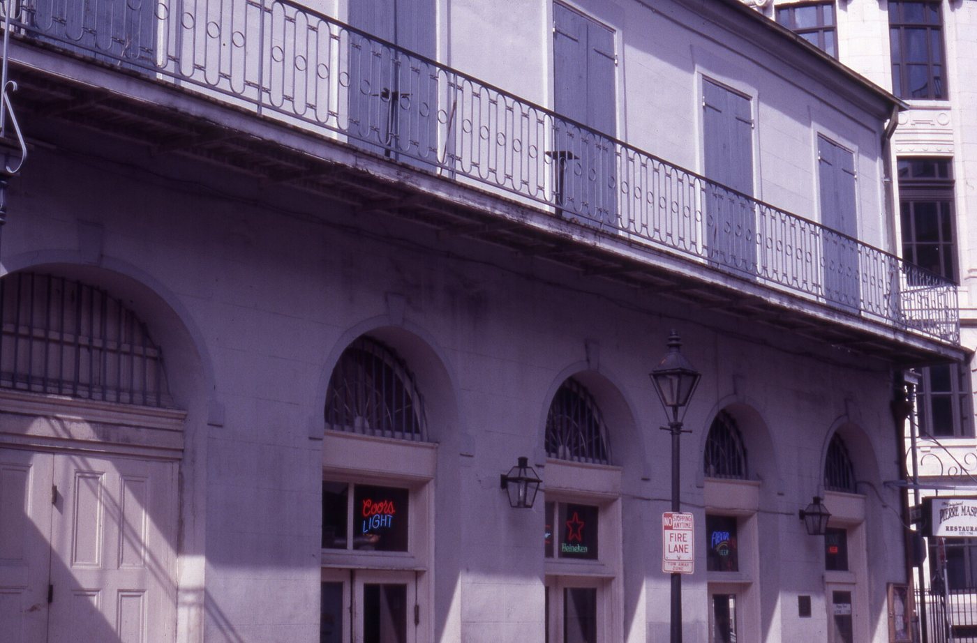
The French Quarter’s streets combine an early grid with buildings shaped by fires, colonial transitions and later adaptation.
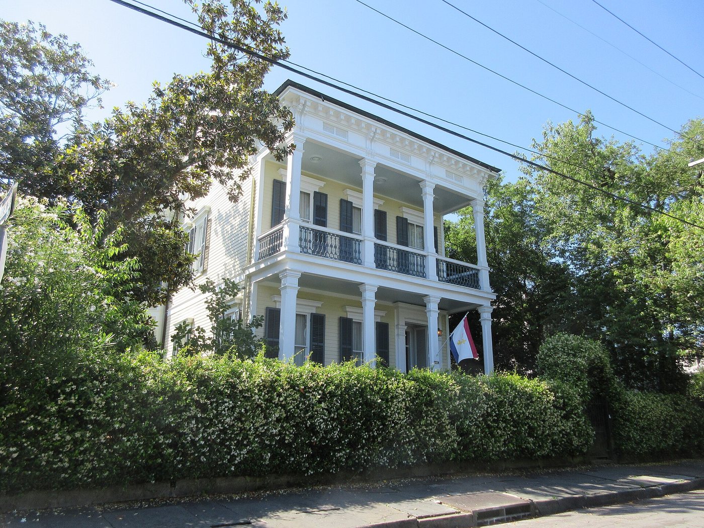
Infrogmation of New Orleans · CC BY-SA 4.0. Resized; thumbnails may be cropped.
Lot sizes, front gardens and successive building campaigns explain more of this New Orleans neighborhood than a checklist of famous residents.
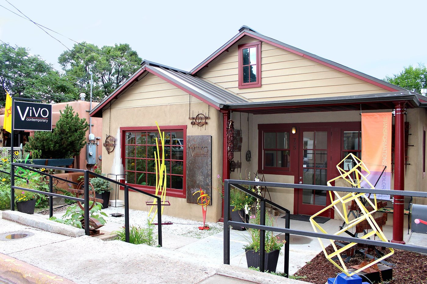
MARELBU · CC BY 3.0. Resized; thumbnails may be cropped.
Canyon Road’s gallery life occupies a street whose domestic scale and older properties remain central to its character.
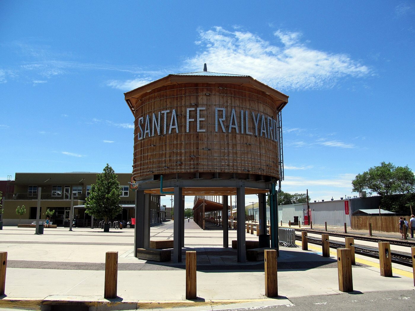
skarz · CC BY-SA 3.0. Resized; thumbnails may be cropped.
The Railyard combines active transport, reused industrial land and public space secured through a long community planning process.
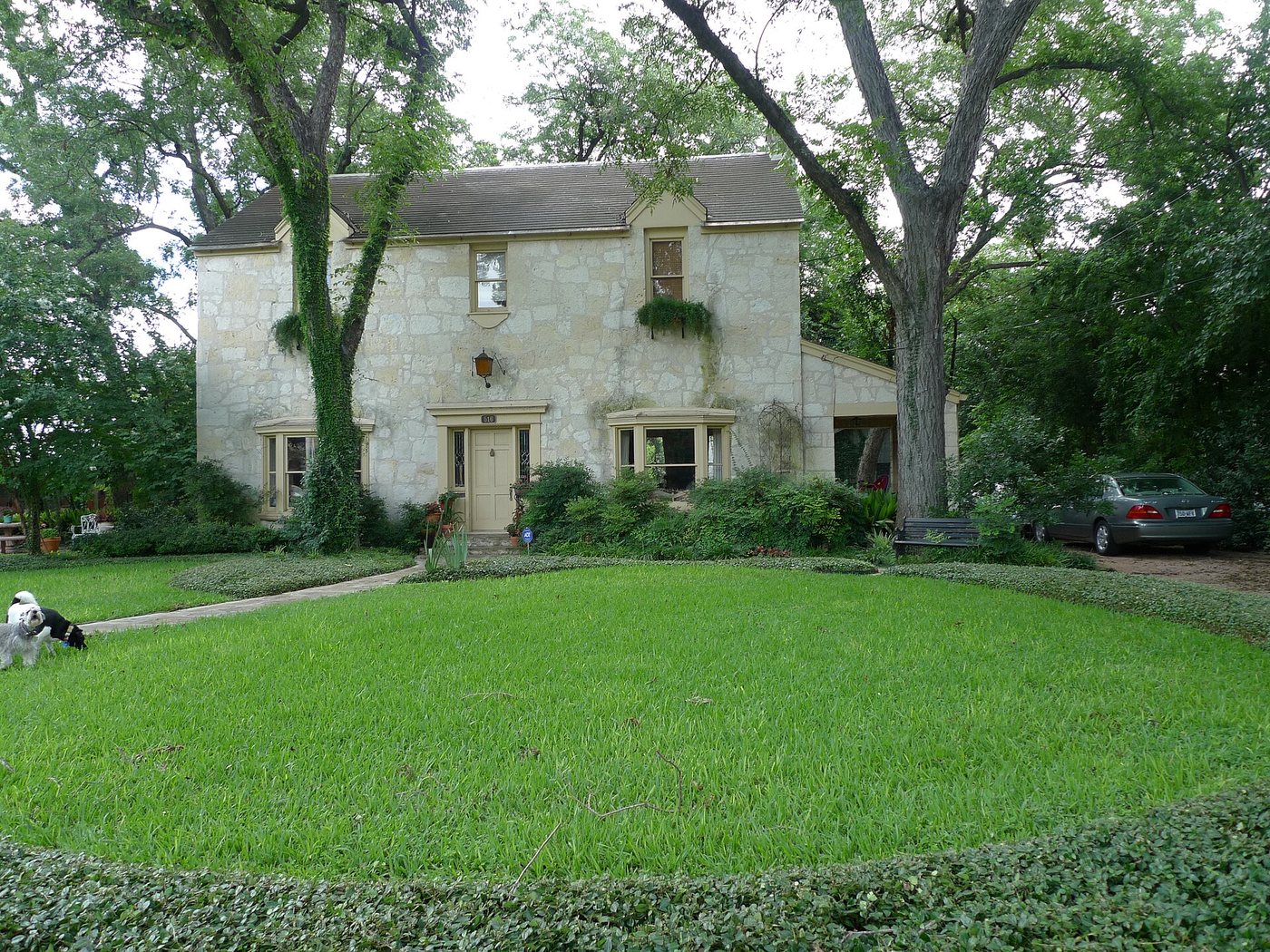
Tony Kent · CC BY-SA 2.0. Resized; thumbnails may be cropped.
King William’s large houses are only one part of a district shaped by irrigation land, migration, changing households and preservation.
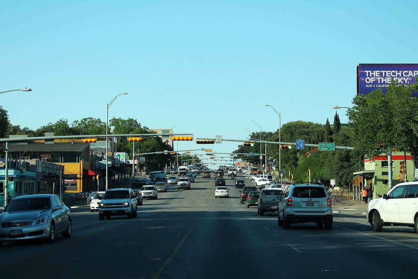
formulanone from Huntsville, United States · CC BY-SA 2.0. Resized; thumbnails may be cropped.
South Congress grew as a route into Austin before becoming a well-known shopping and entertainment corridor.
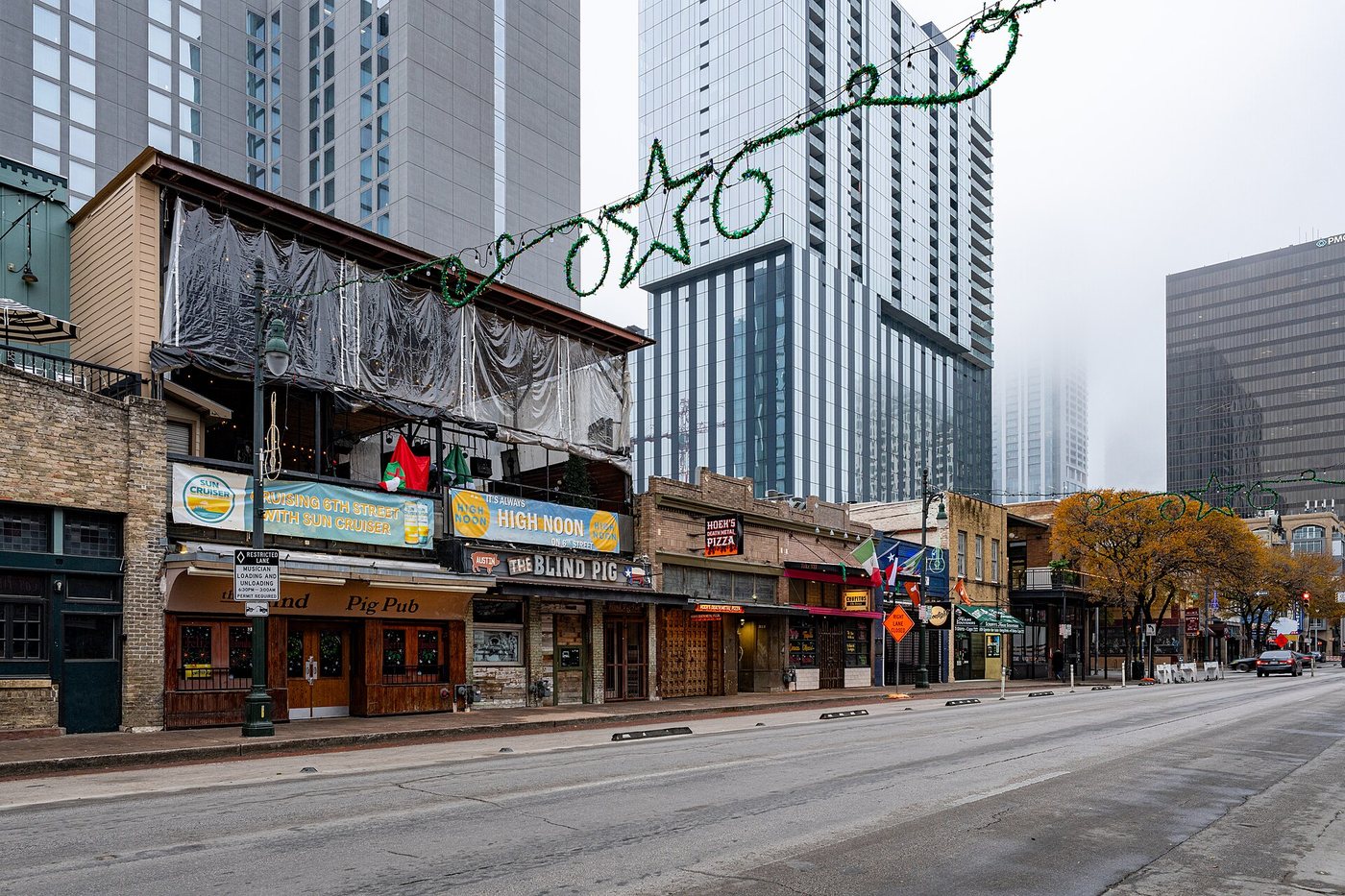
ajay_suresh · CC BY 4.0. Resized; thumbnails may be cropped.
Historic Sixth Street is a surviving commercial streetscape whose architecture is easier to read when the nightlife signs are not the only focus.
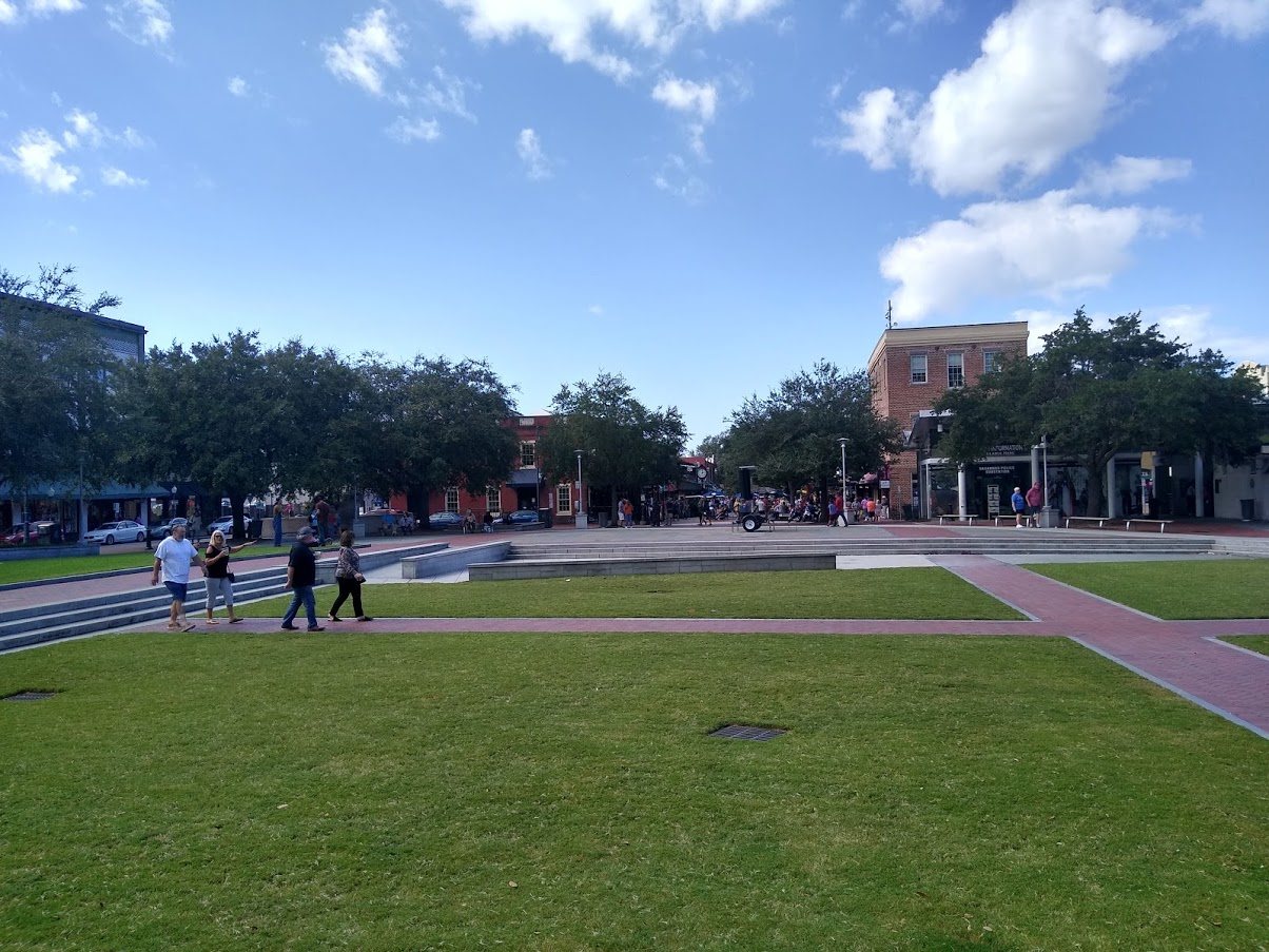
Jayron32 · CC BY-SA 4.0. Resized; thumbnails may be cropped.
Savannah’s historic district is defined by the relationship between its ward plan and the varied buildings constructed within it.
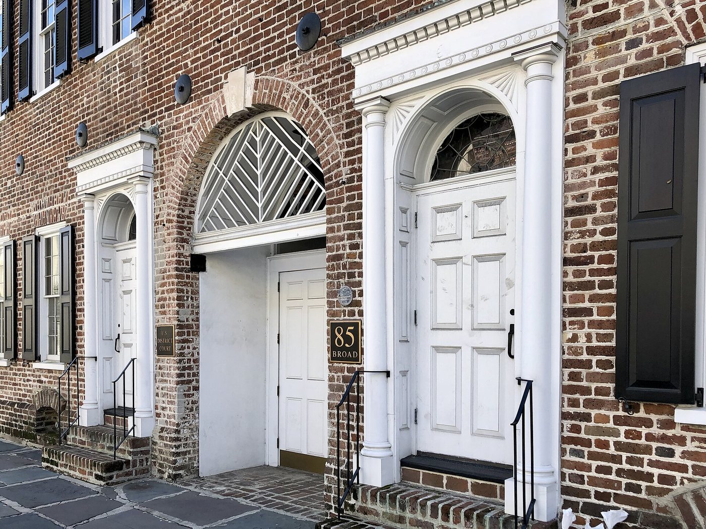
Charleston’s French Quarter contains several histories within a compact street network, from religious institutions to commerce and theatrical reuse.
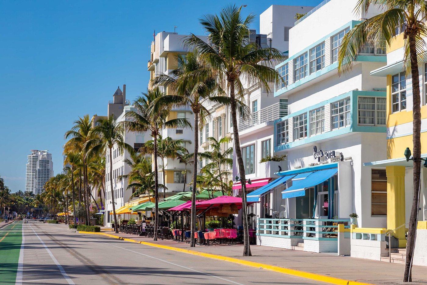
Robbschultz69 · CC BY-SA 4.0. Resized; thumbnails may be cropped.
Miami Beach’s historic architecture includes several related styles, and its survival reflects organized preservation rather than an untouched resort landscape.
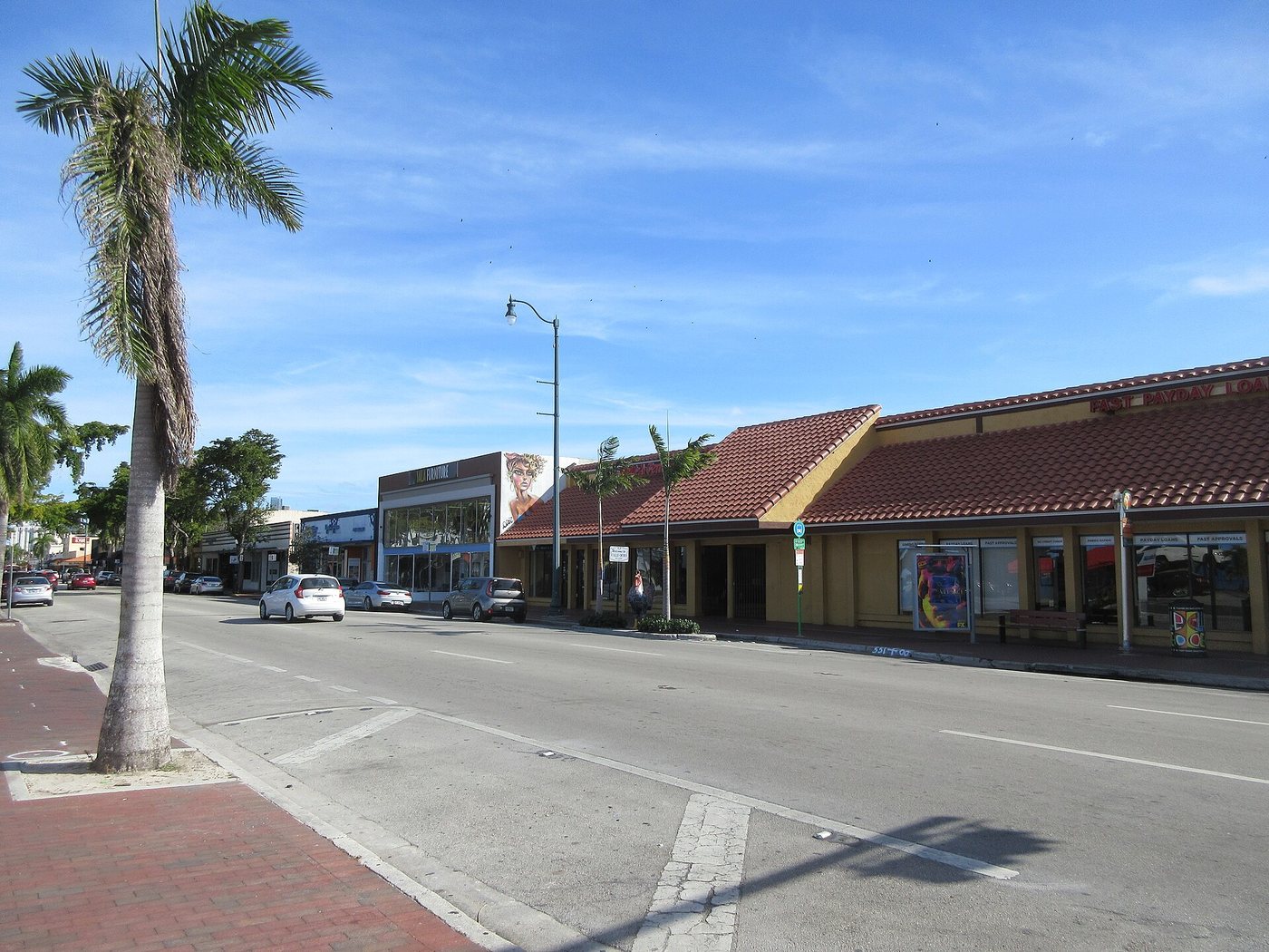
Infrogmation · CC BY 2.0. Resized; thumbnails may be cropped.
Little Havana is a residential and commercial neighborhood whose architecture records several generations of migration and adaptation.
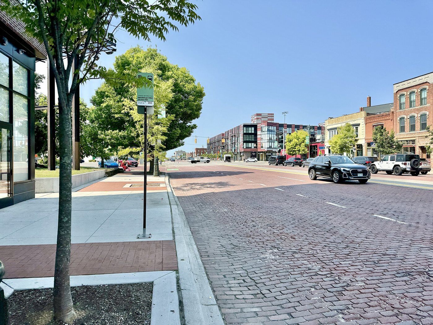
w_lemay · CC BY-SA 2.0. Resized; thumbnails may be cropped.
Small houses, a monumental station and missing blocks tell different chapters of the neighborhood’s history.
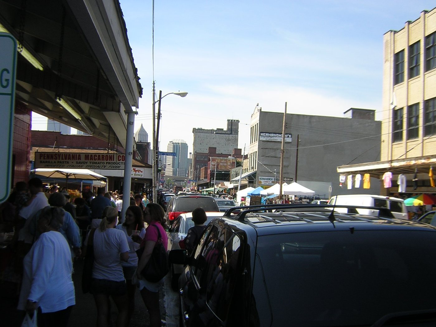
Jim Reynolds from Cleveland, USA · CC BY 2.0. Resized; thumbnails may be cropped.
Food shops and reused industrial buildings preserve different parts of the Strip’s trading history.
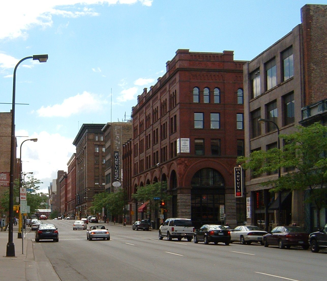
Former wholesale buildings reveal how a district designed for goods adapted to homes, offices and street life.
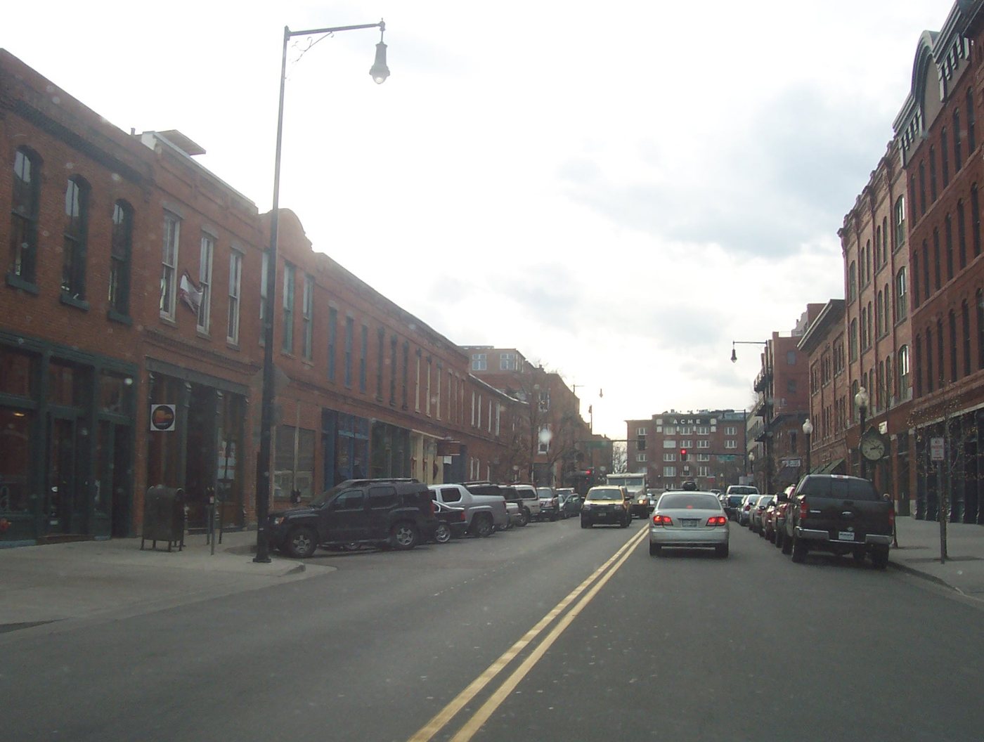
LoDo’s warehouses and commercial blocks show how rail-oriented buildings can survive changes in the work performed inside them.
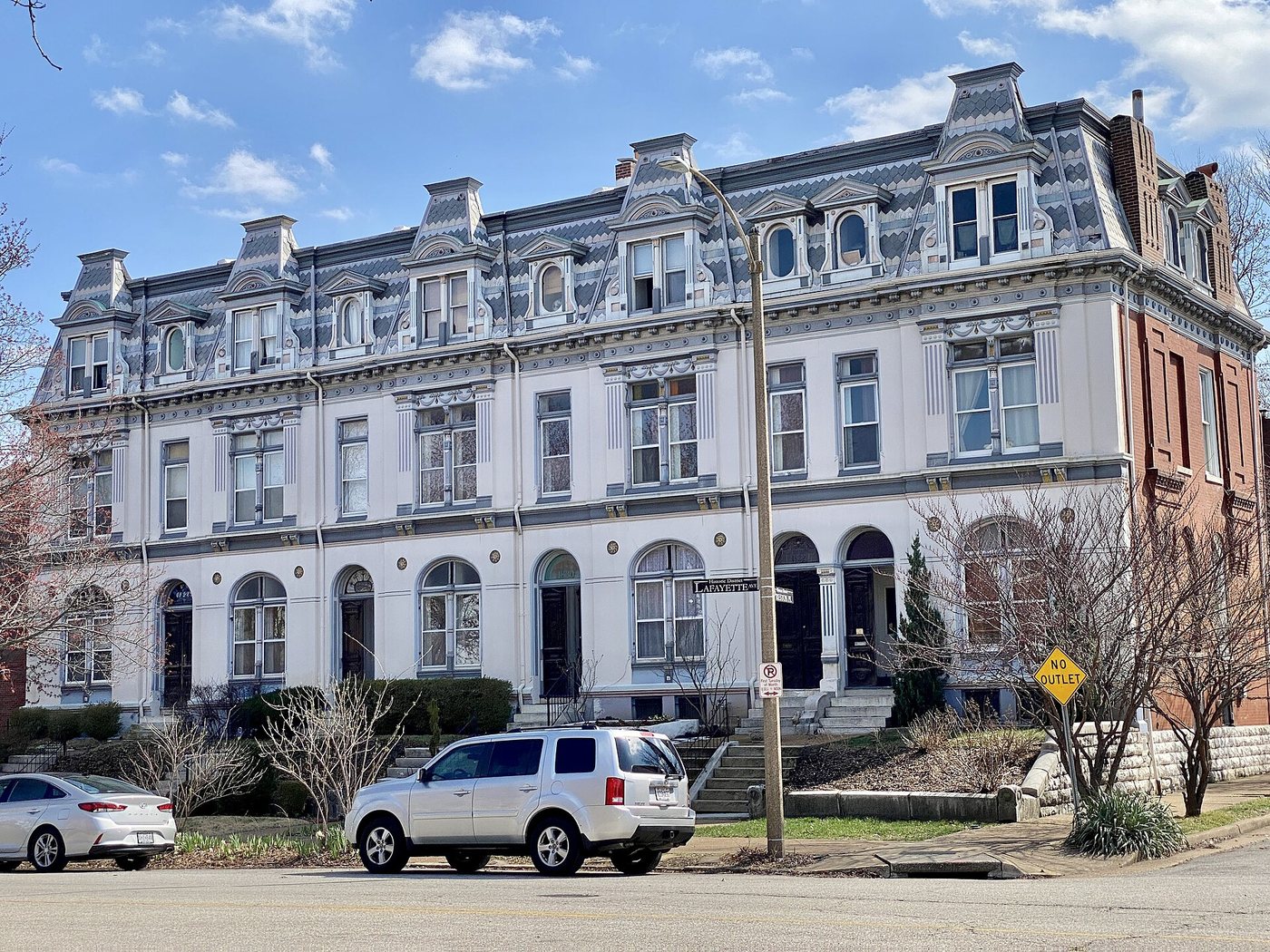
w_lemay · CC BY-SA 2.0. Resized; thumbnails may be cropped.
The park at Lafayette Square shaped surrounding residential development, while disaster and restoration altered what survives around its edges.
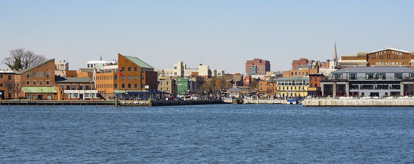
Bruce Emmerling · CC BY-SA 4.0. Resized; thumbnails may be cropped.
Fells Point’s houses, commercial buildings and waterfront edges reveal a maritime neighborhood that supported much more than ships.
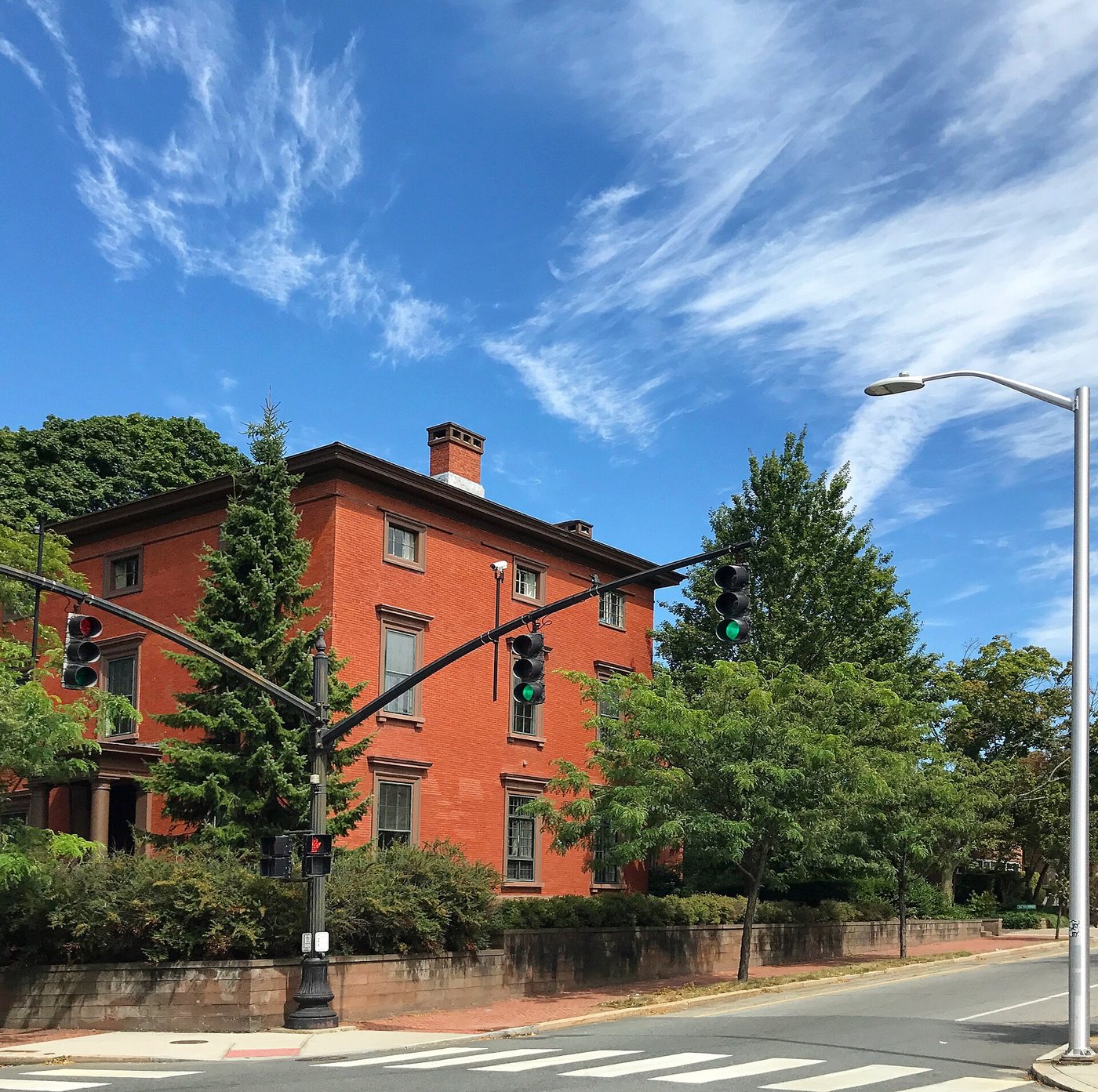
Mony xl · CC BY-SA 4.0. Resized; thumbnails may be cropped.
College Hill combines a steep physical setting with houses, institutions and a twentieth-century preservation history that shaped what remains visible.
.jpg)

_-_%22North_End_Nights%22.jpg)


.jpg)


.jpg)

.jpg)
.jpg)
.jpg)


