
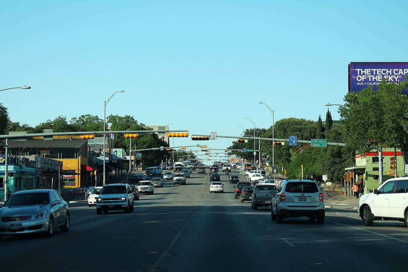
South Congress is more than a collection of storefronts south of Lady Bird Lake. The avenue’s changing role in transportation helps explain its broad roadway, varied building setbacks and mix of older commercial structures with newer development. Its history connects river crossings, streetcars, automobiles and the later movement of through traffic to the interstate.
A bridge opened the south side
Austin’s neighborhood-planning history describes relatively sparse development along the southern avenue before the concrete Congress Avenue bridge was completed in 1910. Groceries, bakeries, blacksmiths and other businesses served local needs. The bridge and the extension of electric streetcar service made the south side easier to reach.
That change matters because commercial streets depend on the people who can get to them. A better crossing did not merely add a convenient view of the river; it altered the relationship between South Austin and the established city to the north. The street could support more movement and a wider range of activity.
The automobile left a visible pattern
As car ownership and leisure travel expanded, South Congress became a major approach to Austin. Tourist courts, restaurants and service stations served drivers arriving along the road. The city’s historical planning account records a substantial concentration of motels, food businesses and gas stations by the early 1950s.
This roadside history helps explain why a pedestrian-oriented visit still encounters building forms associated with motorists. Setbacks, signs and the space between buildings can preserve clues to an earlier commercial logic even after the businesses themselves change. Not every shopfront began as a shop designed for continuous sidewalk browsing.
Interstate 35 later diverted through traffic. A route can lose one economic role and acquire another without losing its physical width or all the structures built for the former role. South Congress’s subsequent popularity belongs to that longer process of adaptation.
A corridor rather than one architectural period
The current district combines independent businesses, established venues and newer retail and hospitality development. The city recognizes South Congress within its commercial-district programs. That contemporary identity should not be projected backward as though the street has always offered the same mix.
For an architectural walk, choose a short section and compare the way buildings meet the sidewalk. A shallow storefront, a freestanding structure and a larger recent development each create a different rhythm of entrances and open space. The comparison is more specific than describing every colorful sign as evidence of an unchanging local character.
Keep the avenue and the waterfront distinct
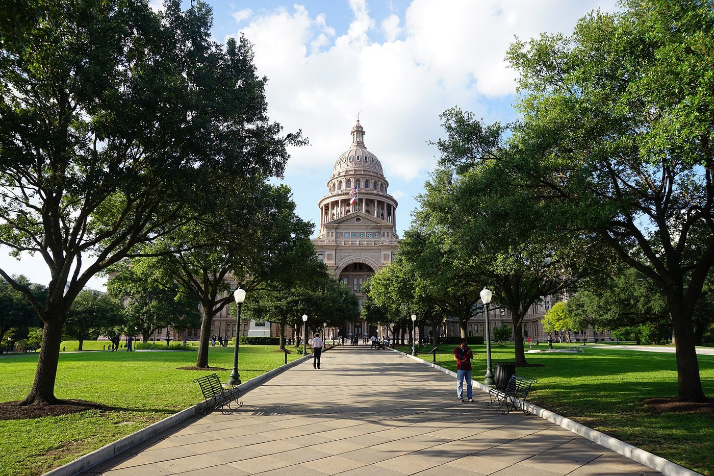
Congress Avenue continues north across the lake toward downtown and the Capitol. That continuous name can make quite different districts seem closer or more uniform than they are. Plan a South Congress outing around the stretch you want to explore, then add the bridge or waterfront as a separate extension if useful.
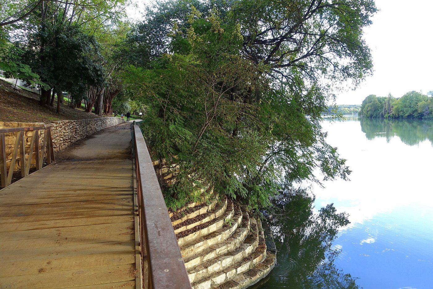
The city’s South Central Waterfront history explains that flood-prone river land developed differently from the higher avenue. The result is a transition between a commercial corridor and a changing waterfront, not a single seamless historic neighborhood. Understanding that transition makes the approach to the lake more informative than treating it only as the end of a shopping walk.
.jpg)
.jpg)
.jpg)