Savannah’s historic district is not a single architectural style spread over a large area. Its strongest unifying feature is a plan: repeated wards organized around public squares, linked by streets and lanes. Buildings changed over time, but the framework gave those changes a recognizable structure. Understanding the plan makes a walk through the district far more informative than trying to visit every famous house.
A ward was more than a square
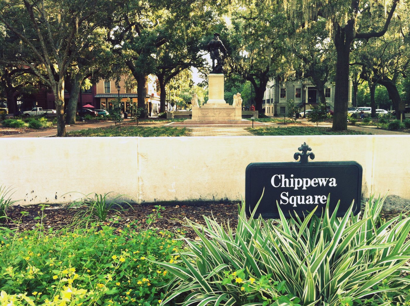
The settlement laid out under James Oglethorpe in 1733 used the ward as a repeating unit. At the center stood an open square. Residential groups known as tythings occupied the corners, while larger trust lots on the east and west sides were reserved for public and institutional purposes.
The National Park Service describes residential lots of consistent dimensions within the early scheme. The arrangement tied individual properties to a shared open space, while reserving room for uses that needed a different scale. Streets and service lanes completed the system. The square was therefore not leftover land between buildings; it was a deliberate organizing element.
Repetition allowed growth without complete uniformity
As Savannah expanded, additional wards extended the pattern. This gave the city a recognizable structure across different periods of development. A later building could introduce new materials, heights or stylistic details while still facing the same kind of square or occupying a familiar lot arrangement.
This is why the district can feel coherent without being architecturally identical. The plan governs relationships: where open space occurs, how streets connect and where public buildings can address a square. It does not require every house to share one facade.
The distinction is useful when looking at a block with several building ages. An older plan can survive under newer architecture. Conversely, a building that imitates an old style does not by itself preserve the relationships that made the district significant.
The lanes belong to the system
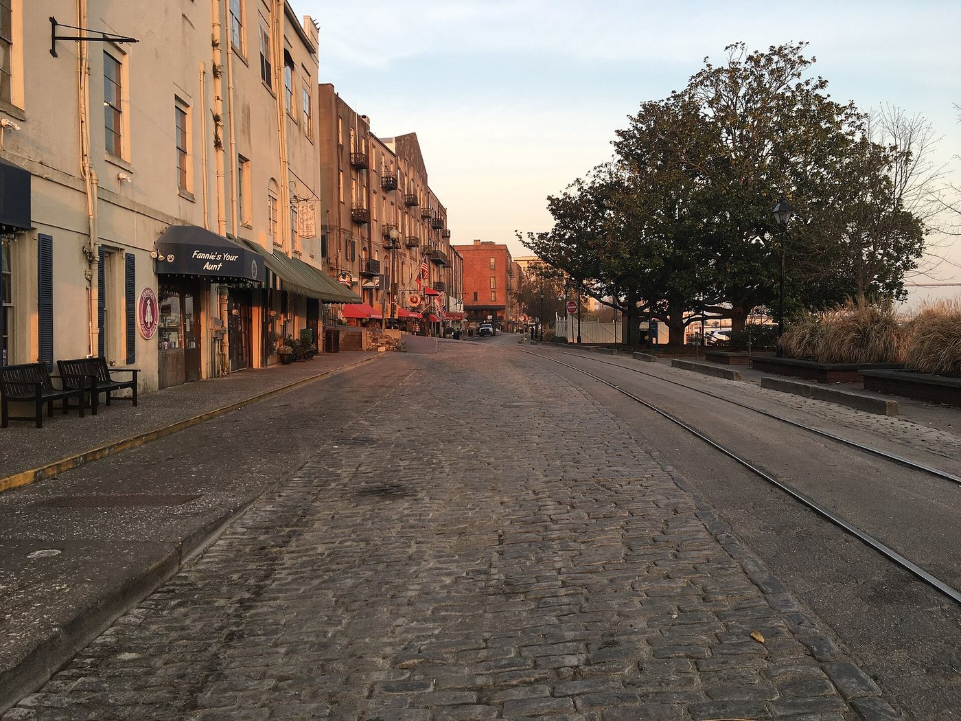
Main streets and squares provide the ceremonial view, but narrower lanes help explain the working city. They separate parts of blocks and create alternative access to properties. Their scale differs from the more public frontages, revealing that a ward was intended to accommodate service and circulation as well as display.
Use public lanes where appropriate, without assuming that private courtyards or service areas are open for exploration. The useful observation is the contrast in scale and orientation. A building can have a carefully presented front and a much plainer working side; both belong to its architectural history.
Historic recognition concerns relationships
The district became a National Historic Landmark in 1966. A later National Park Service assessment examined its condition through research, field survey, photographs and mapping. The agency identified both the town plan and the significant buildings upon it as essential qualities.
That approach means preservation cannot be reduced to keeping a few exceptional monuments. Changes to street patterns, building scale or the setting of a square can affect how the whole district is understood. The assessment’s attention to alterations within and beside the district recognizes that a historic place is influenced by its surroundings as well as its individual parcels.
The plan’s much-praised order should also be separated from claims that historic society was equally ordered or equitable. The later city’s prosperity included enslavement and unequal access to wealth and power. A legible urban framework is not evidence that every resident experienced the city in the same way.
Plan a walk around comparison
Choose two or three squares connected by a direct route. At each, identify the open center, the buildings on its edges and the streets or lanes leading away. Then compare the kinds of institutions, houses and businesses that occupy the framework. This gives the walk a clear subject without turning it into a race across the district.
Add a museum or historic house if you want to move from the urban plan to the lives conducted within it. The Owens-Thomas House & Slave Quarters, for example, interprets both architectural display and the labor that sustained it. The outdoor pattern and the indoor history answer different questions, and the strongest understanding comes from allowing them to inform one another.