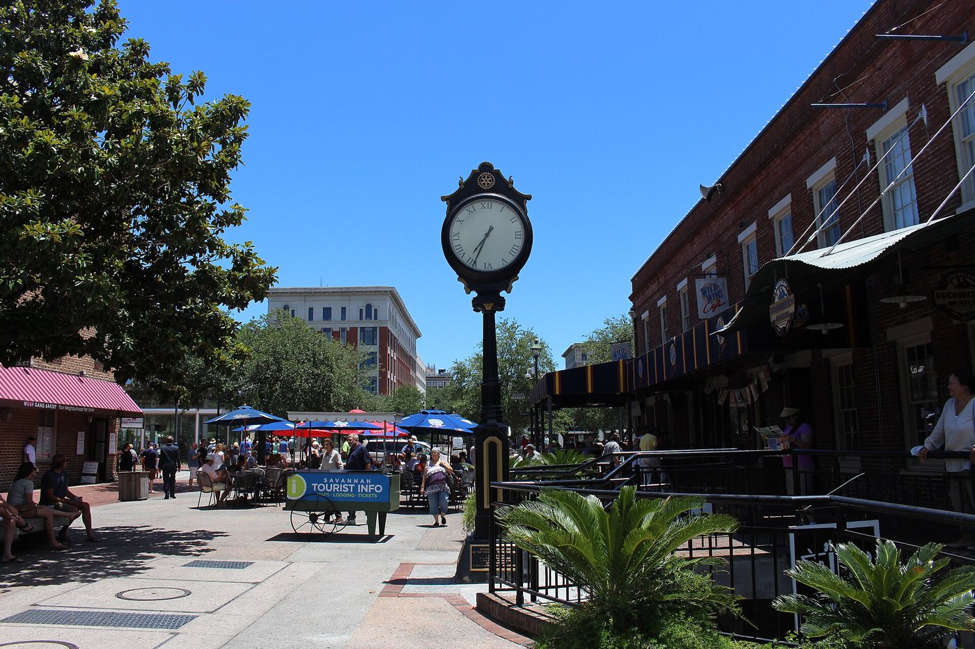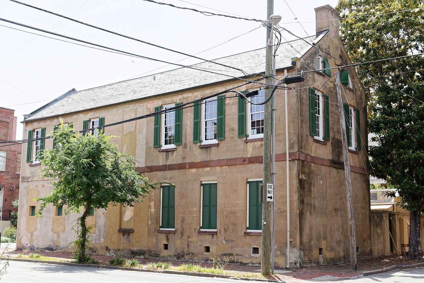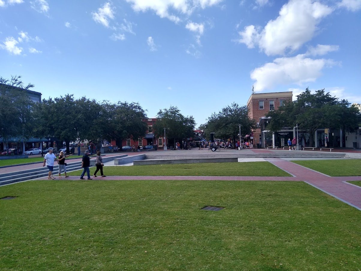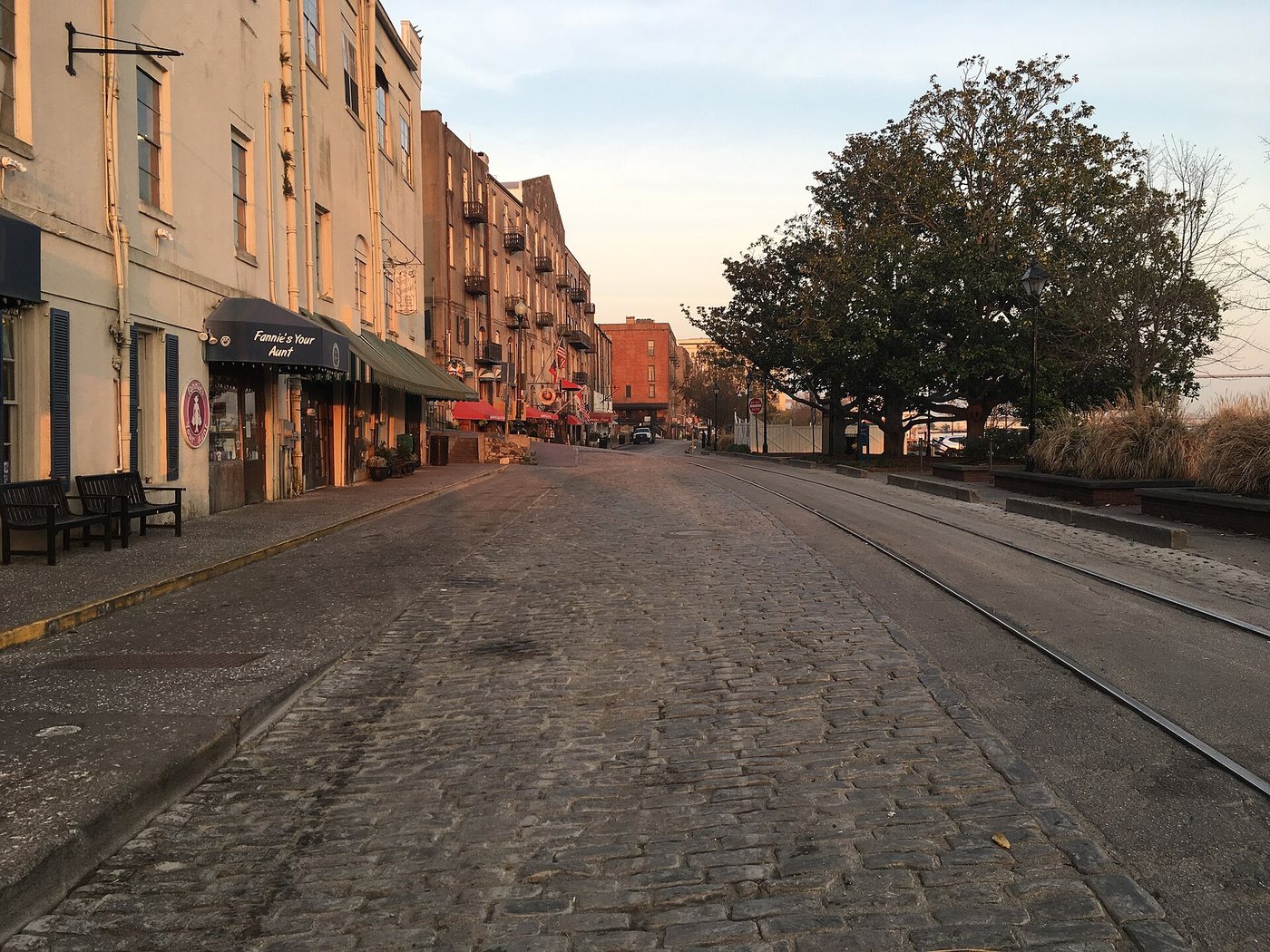
Savannah’s River Street is not simply a promenade beside water. It occupies the lower edge of a city built on a bluff, with commercial spaces, retaining structures and access routes arranged at different levels. The change in elevation explains much of the riverfront’s architectural character and makes the route more complex than a flat line on a map.
The bluff required engineering
The Cluskey Embankment Stores offer a particularly clear example. Completed in 1842 beside the Drayton Street ramp, they formed part of a municipal project to stabilize the bluff and improve the public walk above. Architect Charles B. Cluskey incorporated brick vaults into the retaining structure.
The city’s archival account explains that the stores were authorized as an addition to the retaining-wall contract. Commercial space and public infrastructure therefore occupied the same construction. The wall supported ground above while the vaults created usable enclosed rooms below. This dual role is more informative than treating the arches as decoration.
Different levels served different activities
Bay Street, Factors Walk and River Street belong to a layered riverfront rather than one uniform street frontage. The physical separation between the higher city and the river edge shaped how people and goods moved. Retaining walls, bridges and ramps negotiated the difference.
A useful way to understand the setting is to follow one legal route between levels and then look back at it from the other end. The apparent height of buildings changes depending on where you stand. An entrance that seems to occupy a lower floor from one side may relate differently to the ground on the other.
This also explains why a short map distance may involve a steep or indirect connection. Choose an access route appropriate to your mobility rather than assuming every stair or ramp provides an equivalent experience.
Do not turn uncertainty into a legend
The city’s archaeological-project page explicitly states that claims about the Cluskey vaults being used to hold enslaved people lacked primary documentation when the project began. Researchers combined archival investigation with excavation to clarify their use. Repeating the claim as an established fact would replace historical inquiry with an unsupported story.
That caution does not diminish slavery’s documented role in Savannah’s economy. It means that a specific claim about a specific structure needs its own evidence. The vaults’ architectural and public-works history is significant without adding an unverified function.
A working waterfront became a visitor landscape
Savannah’s municipal archives document later riverfront redevelopment, including work in the 1970s. The present concentration of visitor-facing businesses belongs to that later history. Older walls and buildings can remain while the economic purpose of the street changes around them.
For a visit, combine the river view with a short examination of the bluff-side structures. The water explains the location, but the built section explains how the city made the location usable. Current city notices are the appropriate source for any temporary ramp or street work; historical routes should not be assumed to remain available during every visit.