Brooklyn Heights is often introduced through its view of Lower Manhattan. That view is only one side of the neighborhood. Turning inland reveals blocks of houses, stoops, churches and small changes in street width. Looking outward reveals the East River and a waterfront that has served transport and commerce. The relationship between those two directions gives the Heights its character.
Read the blocks before seeking the skyline
The Brooklyn Heights Historic District was designated by New York City in November 1965. The official boundary map is useful because the neighborhood people refer to in conversation and the legally designated district are not necessarily identical. Preservation boundaries follow specific streets and properties, rather than every place sharing a familiar name.
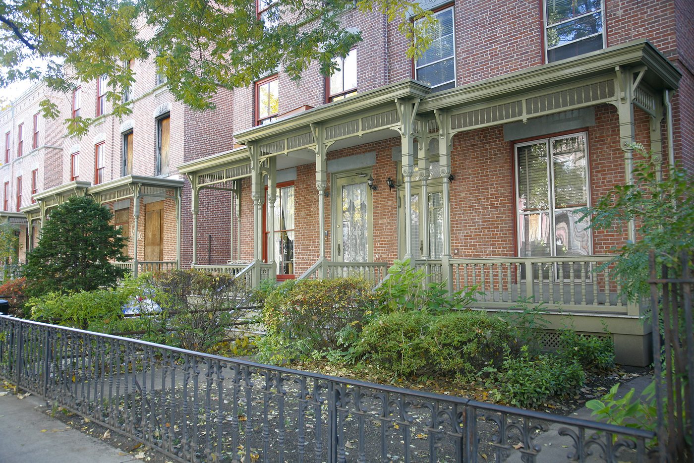
Within the streetscape, compare the proportions of doors and windows instead of trying to date every house at a glance. A row may appear consistent from a distance while individual properties differ in roofline, entrance treatment and later alterations. Similar materials do not guarantee identical construction dates or architects.
Stoops create a transition between sidewalk and home. They are architectural features, but also parts of occupied residences. An open gate or attractive doorway is not an invitation to enter. Keeping to the public sidewalk preserves the difference between looking at a historic neighborhood and treating it as a museum exhibit.
Height changes the waterfront relationship
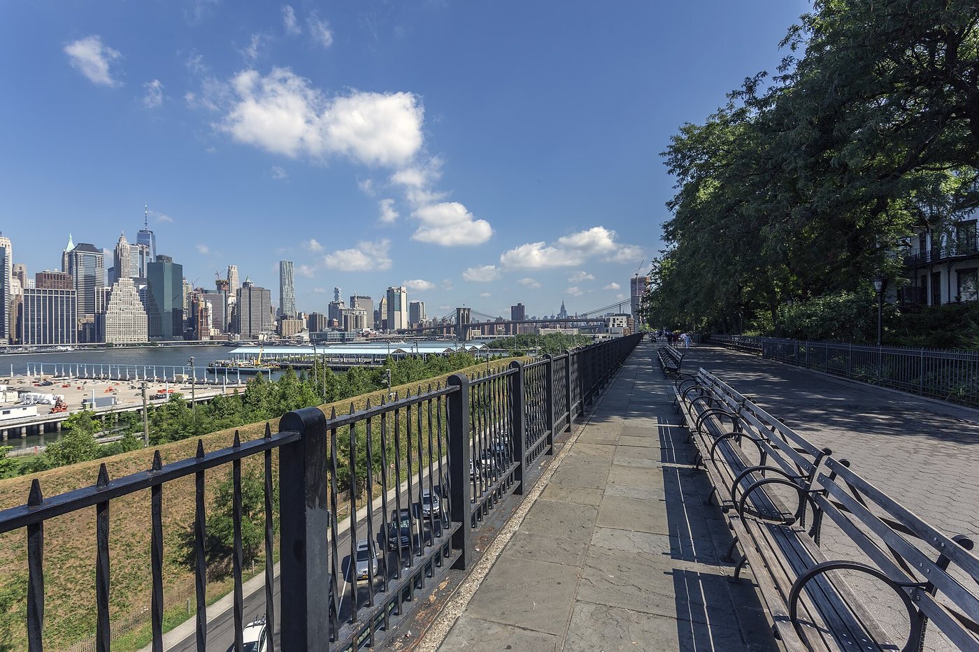
The elevated viewpoint is central to understanding the name Brooklyn Heights. A river-level route and a promenade above it may seem close on a map while requiring a separate connection on foot. Plan a transition between levels through a recognized public route rather than assuming that every street continues directly to the water.
The skyline encourages long views, but the foreground is also informative. Roads, buildings and paths show how the city has negotiated the space between a residential district and a working river. A waterfront is not simply a scenic edge: it is a place where goods, passengers and land transport historically met.
For a short visit, choose a few residential blocks and one river-facing stop. This gives the walk a clear comparison without turning it into a checklist of addresses. Use the Landmarks Preservation Commission’s map to identify the district, and a current street map for the actual walking connection. The former explains the historic area; the latter helps navigate the present city.