College Hill’s name describes a physical condition as well as an institutional presence. Streets climb away from the river toward larger buildings and residential blocks. The slope affects views, routes and the relationship between houses and the city below, while the surviving architecture records several different periods of development.
Start with the slope
A map can make two nearby streets appear equally easy to connect. On College Hill, elevation changes can make that assumption misleading. Choose crossings and gradients that suit the people walking, and treat the route uphill as part of the experience rather than as an inconvenience between landmarks.
From a public street, compare buildings above and below your position. A house on higher ground can command a much wider view than one at the same distance on level terrain. Walls, foundations and steps reveal how individual properties meet the hillside.
The view is historical evidence, but it is not proof that every owner chose a site for the same reason. Specific property records help distinguish a plausible visual interpretation from a documented intention.
A house can connect the hill to global trade
The Rhode Island Historical Society’s account of the John Brown House explicitly connects its elevated position with views of the merchant’s shipping activity. Brown’s wealth involved trade with several parts of the world, including participation in the slave trade. The house therefore belongs to a history larger than domestic architecture or local social status.
Keeping those economic connections visible changes the way a grand residence is read. Materials, furnishings and scale express resources acquired through particular systems of commerce. Admiring craftsmanship does not require separating it from the conditions that made such a house possible.
The property’s subsequent ownership and museum interpretation add further layers. A house museum can explain those changes through documents and objects; the surrounding neighborhood walk supplies the larger topographical setting.
Preservation itself changed College Hill
The College Hill Study was first published in 1959, with a later edition documenting subsequent progress. It developed within a period when preservation and urban renewal were both active planning concerns. Its proposals and the investment they encouraged helped shape the neighborhood that visitors now encounter.
The follow-up report describes historic-district designation, restoration and the development of Benefit Street as a visitor route. It also discusses private companies acquiring, repairing and reselling houses. The familiar image of a preserved street was therefore produced through policy, finance and construction work, not simply through the absence of change.
The report is also a document of its own time. Its assessments of progress reflect the priorities of its authors. A careful reading distinguishes the buildings it records from the value judgments it makes about renewal, appearance and neighborhood improvement.
Use the street as a starting point for research
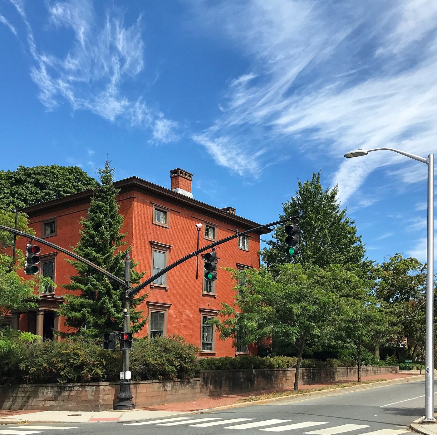
Compare a short sequence of buildings along Benefit Street rather than trying to identify every architectural style immediately. Look at the spacing of entrances, the change from timber to masonry and the way rooflines meet neighboring properties. These observations generate questions that dates and archival photographs can help answer.
The Providence Preservation Society’s house-history research and marker program provides another way to investigate individual properties. Its published account describes reports that establish names, dates and other historical details, with research shared through an online library. Such records allow a visitor to move beyond a building’s appearance and ask who commissioned it, how ownership changed and which parts of its history a marker chooses to emphasize.
Respect the difference between a public route and private or institutional interiors. College Hill contains homes and working institutions as well as places with visitor programs. Their coexistence is part of the neighborhood’s character.
Several histories remain in view
The hill, the houses and the preservation campaigns operate on different timescales. A worthwhile walk can connect them without claiming that the district represents one complete historical moment. The slope explains spatial relationships; individual properties reveal particular lives and economies; later planning explains why some buildings survived and how their appearance changed.