Waterplace Park gives Providence’s rivers a visible place in the center of the city. The basin, paths and bridges may appear to form a settled urban scene, but they are the result of major changes to roads, rail infrastructure and the channels themselves. The landscape is engineered as well as planted.
The riverfront was reconstructed
The city’s Riverwalk Resilience Project describes the creation of the riverwalk and Waterplace through the relocation of tracks, parking areas and roads during the 1980s and 1990s. The waterways had been obscured and constrained by infrastructure. Reworking that infrastructure made a different relationship between the city and the rivers possible.
Waterplace Park opened in 1994. The wider river-relocation project connected new public spaces through bridges and paths, creating opportunities to move beside water rather than only across it. The resulting landscape should be understood as a deliberate urban project, not as the simple discovery of an untouched riverbank.
The basin and the route do different jobs
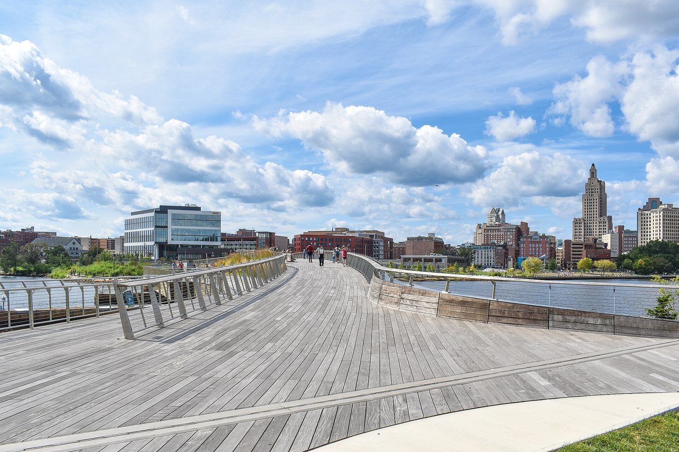
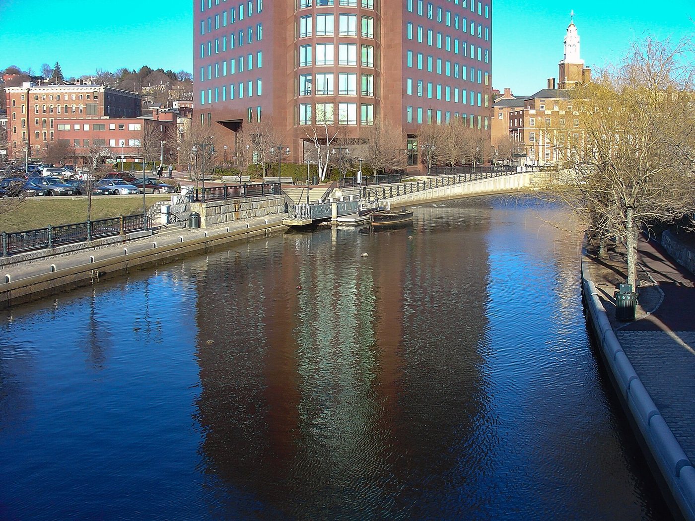
The basin provides a recognizable gathering space, while the riverwalk extends the experience into a sequence. From a bridge, the overall geometry is easy to read. At path level, walls, steps, planting and the changing width of the walkway become more important.
A route beside the water can be lower than the streets around it. This creates a sense of separation from traffic, but it also makes the locations of ramps, stairs and exits significant. Plan the connection back to street level as part of the walk rather than assuming that every visible edge offers an accessible way out.
WaterFire is an event, not a permanent nightly condition
Artist Barnaby Evans created WaterFire in 1994 in response to the newly remade river landscape. The installation and its associated activity give the waterways a different atmosphere during scheduled lightings. A daytime walk and an event visit therefore reveal different uses of the same physical setting.
Check WaterFire’s current schedule when a lighting is the reason for traveling. The presence of the park or of event infrastructure does not imply that fires will be lit on an arbitrary evening. An ordinary visit remains worthwhile for understanding the landscape and its relationship to downtown.
Water levels remain part of the design problem
Providence’s riverwalk planning now addresses flooding, accessibility and future resilience. The city identifies low areas and connections that need improvement. This is a reminder that completing an urban landscape does not end the work of adapting it to environmental conditions.
Use current closures and conditions to select a route. When examining a bridge or lower walkway, consider not only the view but also how water and people move through the same space at different times. The park’s history connects ambitious urban reconstruction with the continuing, less visible work of keeping that landscape usable.