
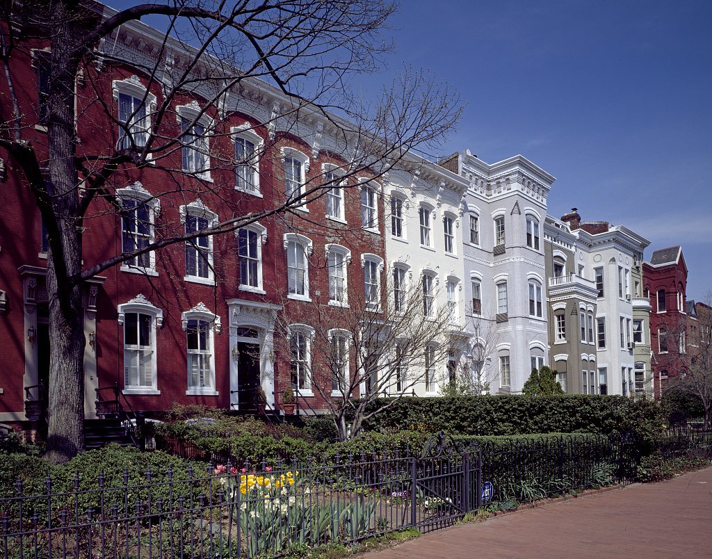
Capitol Hill refers to more than the Capitol building and congressional offices. The surrounding neighborhood contains rows of houses, corner businesses, schools, churches and public spaces built across many decades. Its history combines proximity to federal government with the lives of people who worked at the Navy Yard and elsewhere in the city.
Two centers of early development
Residential growth concentrated near the Capitol and near the Washington Navy Yard. These were different employment centers, and the houses around them did not all serve the same incomes or occupations. The neighborhood’s development therefore cannot be explained only through legislators and senior officials.
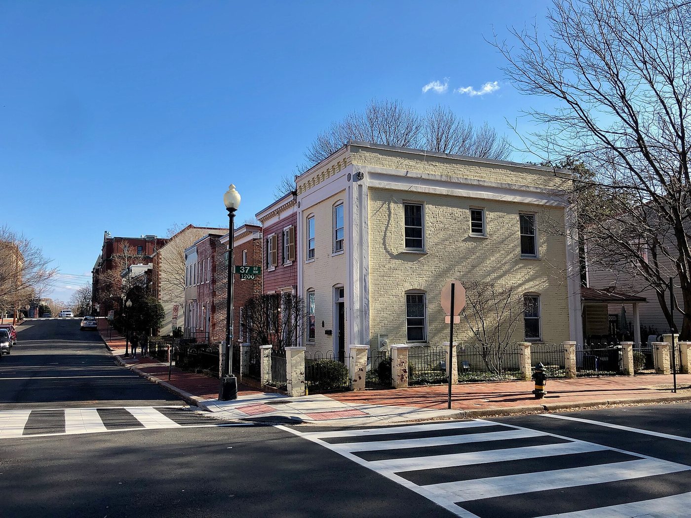
Smaller houses accommodated workers and their families, while other streets contained more substantial residences. This range remains important when reading the district. A grand facade may attract attention, but modest buildings often reveal more about the everyday population that sustained the area.
Rows are built in groups
Many houses were constructed as groups or extended rows. Repeated cornices, window arrangements and entrances can indicate a shared building campaign, while variations show later construction or alterations. A continuous street wall does not necessarily mean every house was built by the same person or in the same year.
Projecting bays are particularly characteristic of later nineteenth-century rows. They bring additional light and interior space while making the street facade more three-dimensional. Their repetition creates a rhythm that can be read across a block rather than only at the scale of an individual address.
Historic boundaries are documented decisions
The Capitol Hill Historic District received local designation in 1973 and National Register listing in 1976. Its boundaries have expanded, including an addition involving Swampoodle in 2015. The official period of significance extends from 1791 to 1945, acknowledging a much longer history than the neighborhood’s earliest buildings alone.
These dates describe preservation decisions, not the moment when the neighborhood stopped changing. Residents continue to adapt buildings, and review processes address how alterations relate to the district’s significance. The official district map is useful because the everyday meaning of “Capitol Hill” does not necessarily match a legal preservation boundary.
The neighborhood becomes easier to understand when its streets are read as housing rather than as a scenic extension of the Capitol grounds. Differences in scale, repeated building groups and ordinary institutions reveal a community shaped by work and development as well as national politics.
-1.jpg)
