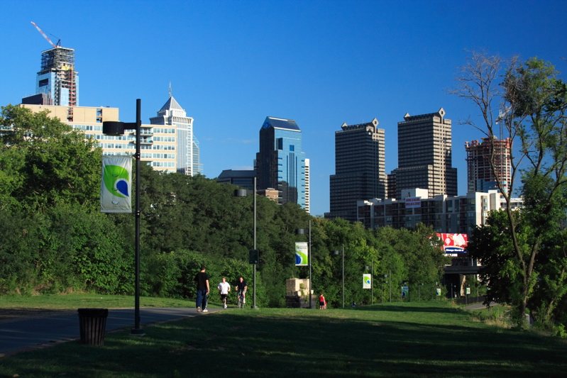
Schuylkill Banks turns portions of an industrial river edge into a public route through Philadelphia. Its paths are part of a larger trail system, but the central-city sections have a distinctive problem to solve: railways, roads, bridges and buildings leave limited room beside the water. The route’s form makes those constraints visible, especially where the trail moves out over the river.
From advocacy to a continuous route
The Schuylkill River Development Council formed in 1992 to support improvements along the lower river. An initial Center City trail opened in 2000, followed by further work under the Schuylkill River Development Corporation. The project has developed in stages rather than appearing as one completed corridor.
That incremental history matters when reading a trail map. A planned connection, a completed section and an older path may all appear in discussions of the same riverfront. The official project information distinguishes them and is more useful than assuming that every proposed extension is already open.
Why part of the trail sits over water
The Schuylkill Banks Boardwalk opened in 2014 between the Locust Street area and the South Street Bridge. About two thousand feet long, it carries the route over the river where the landward corridor is constrained. Its surface is concrete designed with the visual rhythm of boards, rather than a timber deck.
The roughly fifteen-foot-wide path includes overlooks that allow people to stop without occupying the entire movement corridor. This is a small but important distinction: a trail needs space for travel, while a riverfront also invites people to pause. Widened areas let those purposes coexist more easily.
Bridges are connections, not just scenery
The South Street Bridge connection links the lower riverfront path to the street network above. Changes of level are therefore part of the route’s operation. The boardwalk’s landings and ramps should be considered when choosing where to enter or leave, especially when an accessible connection is needed.
Rail and road infrastructure remain visible around the trail. Their presence helps explain why the route bends, narrows or moves offshore. Schuylkill Banks does not erase the working city beside it; it establishes another way of moving through that city. A short walk can reveal how recreation, transport and river engineering share a limited strip of space.