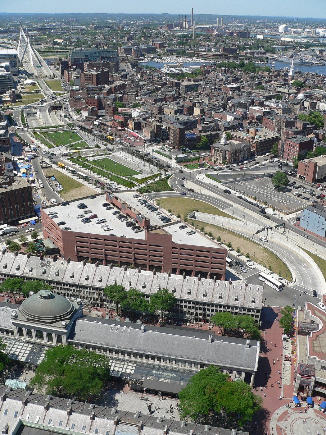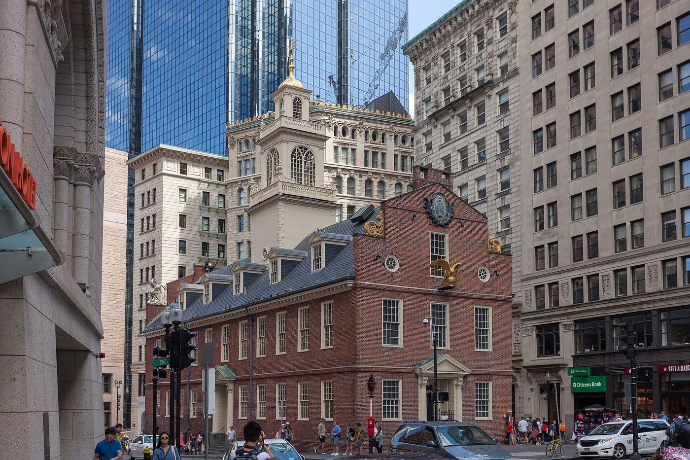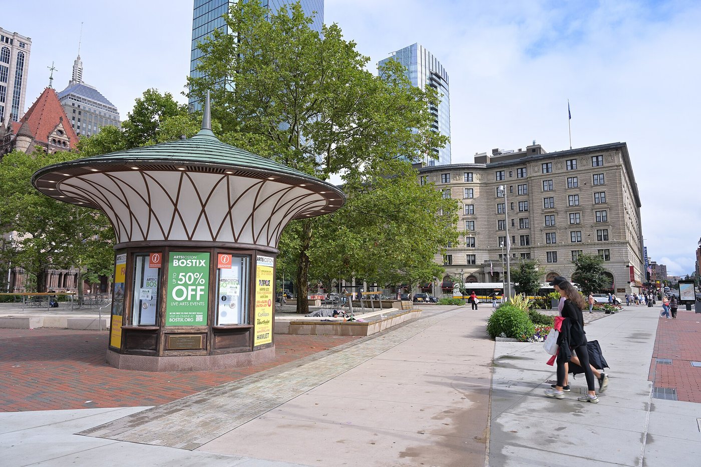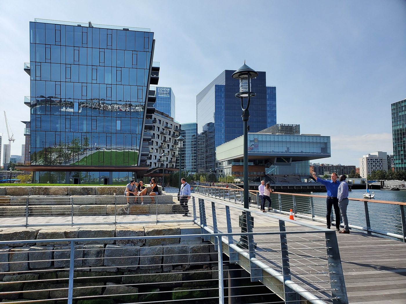
Boston Harborwalk is best understood as a connected ambition rather than a promise of an uninterrupted promenade. Its waterfront network extends through neighborhoods with different shorelines, industries and ownership patterns. Boston Harbor Now describes a route of roughly forty-three miles, with gaps and exclusions. Choosing a segment makes more sense than assuming the name identifies one simple end-to-end stroll.
Access assembled across properties
The Harborwalk initiative began in 1984 during Mayor Raymond Flynn’s administration. It linked waterfront redevelopment with public access to the harbor. The resulting paths cross land managed by public bodies and private owners, so paving, width, maintenance and adjacent uses can change from one section to the next.
Massachusetts has a long legal framework concerning tidelands and public interests along the shore. The Harborwalk gives those broad concerns a visible urban form: a person can pass beside a waterfront development rather than finding every edge closed off. The precise obligations of individual properties are a separate legal matter, but the physical result is a series of routes that make the harbor more accessible.
The shape of the harbor determines the walk
Boston’s waterfront is not a straight line. Wharves, inlets and channels create detours, views and changes in direction. A path may follow the end of a pier, return inland or connect to a street before reaching the water again. These variations reflect the working geography of a port as much as later recreational planning.
East Boston, Charlestown, the downtown waterfront, South Boston and Dorchester offer different relationships with the harbor. They should not be treated as interchangeable sections. Airport land is a particularly important interruption; the network’s extent does not imply public passage around Logan’s entire shoreline.
Plan around a segment and its connections
For a first walk, choose two recognizable endpoints and identify the streets or transit connections that link them to the rest of the city. The Harborwalk map is more informative for this purpose than a total mileage figure. It can show whether a section follows the shore directly or requires an inland connection.
Walking and cycling also require different assumptions. A waterfront path that works well for people on foot may be narrow, crowded or subject to restrictions for bicycles. Public access does not make every stretch a shared cycling route. The value of the Harborwalk lies in how it opens particular waterfront places to the city, one connection at a time.