Detroit’s Riverwalk is a piece of urban infrastructure disguised as a place for a stroll. Its essential achievement is continuity: public passage along a shoreline that once had to be understood as separate properties. Parks provide destinations, but the path between them makes the waterfront useful for a much wider range of journeys.
The work behind a continuous line
The Detroit Riverfront Conservancy formed in 2003. General Motors contributed the initial half-mile section between the Renaissance Center and Cullen Plaza; subsequent expansion involved acquiring both land and easements. An easement matters because a route can cross property without every parcel becoming one publicly owned park. The apparently simple act of following the river therefore rests on a complicated arrangement of rights and responsibilities.
The former Uniroyal tire factory property was a particularly consequential gap. Its riverfront section opened in October 2023, completing the East Riverfront connection. This history explains why opening a short segment can change a much longer trip. A missing link forces a detour away from the water; filling it makes the adjoining sections function as one route.
Parks as stops, greenways as branches
The Conservancy’s route description connects Gabriel Richard Park in the east with Ralph C. Wilson, Jr. Centennial Park west of downtown. Connections through the Southwest Greenway extend the usefulness of the waterfront toward Michigan Central. A riverside trip and a neighborhood trip can consequently share part of the same corridor.
This branching arrangement is more informative than a single total-mileage figure. A park is somewhere to spend time; a greenway is also a means of reaching another part of the city. When selecting a walk, use the official map to choose an arrival point, a waterfront segment and a return connection. An out-and-back route allows more attention to the river; a linked route explains more about Detroit’s geography.
A shared edge rather than a single attraction
Walking, cycling and other nonmotorized movement coexist on the Riverwalk. The path must accommodate both people passing through and people who stop. At a narrow or busy section, a photograph or a conversation can easily occupy the moving lane. Stepping aside to pause is part of making a shared linear space work.
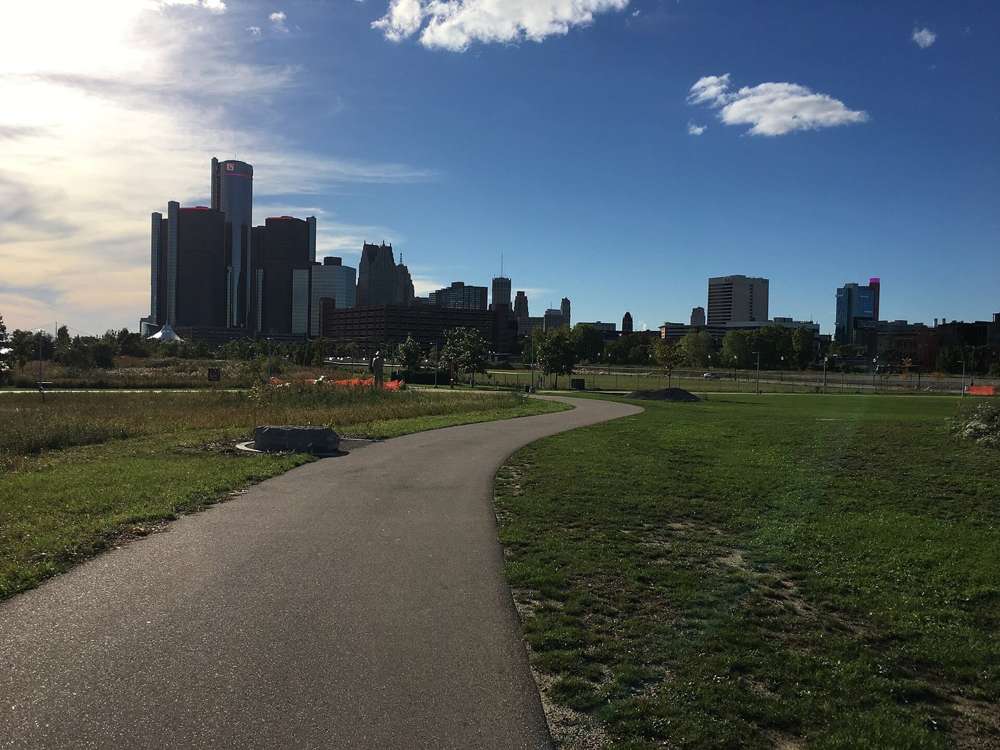
The water also changes the experience of the downtown skyline. Buildings that appear as individual street addresses inland become a collective edge when seen across the open riverfront. Parks interrupt that edge and create room to turn toward the water. The Riverwalk’s value lies in this repeated exchange between movement, open space and city frontage, rather than in a requirement to complete its entire length.