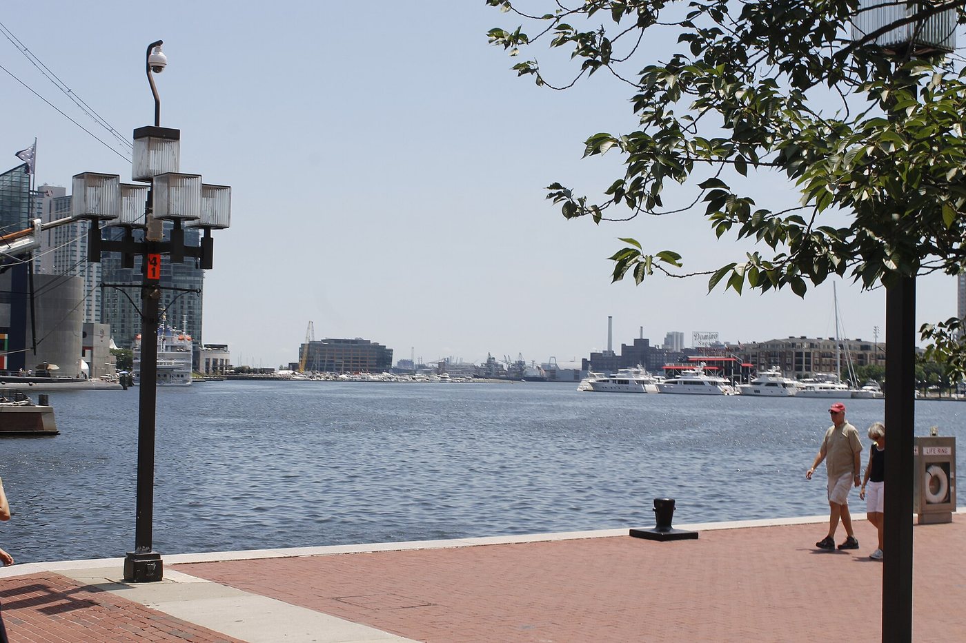
The Inner Harbor is often approached as a set of attractions. A waterfront walk reveals another subject: the shape of the basin, the former working shoreline and the routes that allow people to move along it. Those relationships remain useful to examine even when individual destinations change.
A working waterfront became a different kind of center
Baltimore Heritage describes the harbor’s shift from maritime commerce toward recreation and redevelopment after the Second World War. Changes in transport reduced some older shipping activities, while urban-renewal projects removed many buildings around the basin. The resulting waterfront was made through substantial alteration, not simply opened to visitors in its original form.
The distinction between the Inner Harbor and deeper-water districts also matters. Fells Point and Canton played different roles in the port’s geography. The city’s maritime activity was spread across several places, so one central basin cannot stand for every kind of shipping that Baltimore handled.
Historic photographs are especially useful here. Compare a pier used for cargo, a later parking area and a subsequent public promenade. The outline of the water may appear familiar while the purpose of the adjacent land has changed completely.
The public edge connects otherwise separate destinations
A promenade allows visitors to move between piers and buildings without repeatedly abandoning the water. It also creates a place where someone can experience the harbor without entering each attraction. That distinction is central to the value of a publicly accessible waterfront.
Trace how the path turns around corners, meets streets and changes in level. The most direct line on a map may be interrupted by a building, event or temporary works. Read current signs and choose a route suited to the time and mobility of the group.
Baltimore Heritage’s account of the former Key Highway shipyards shows how much industrial history can disappear beneath later development. The absence of an obvious workshop or slipway does not mean that the shoreline was always residential or recreational. Interpretation and archival images help recover activities no longer legible in the buildings.
Use the basin as an orientation tool
Start by identifying the direction of the open water and a few fixed landmarks. Then choose a manageable section of the waterfront rather than treating the entire harbor as a mandatory circuit. Pausing at a pier or turn provides a chance to understand the basin’s proportions.
Separate a public-space walk from plans to enter ticketed destinations. Check those operators independently if they form part of the day. The harbor’s larger story lies in the connections between them: a former commercial edge repeatedly redesigned to support new kinds of urban life.