
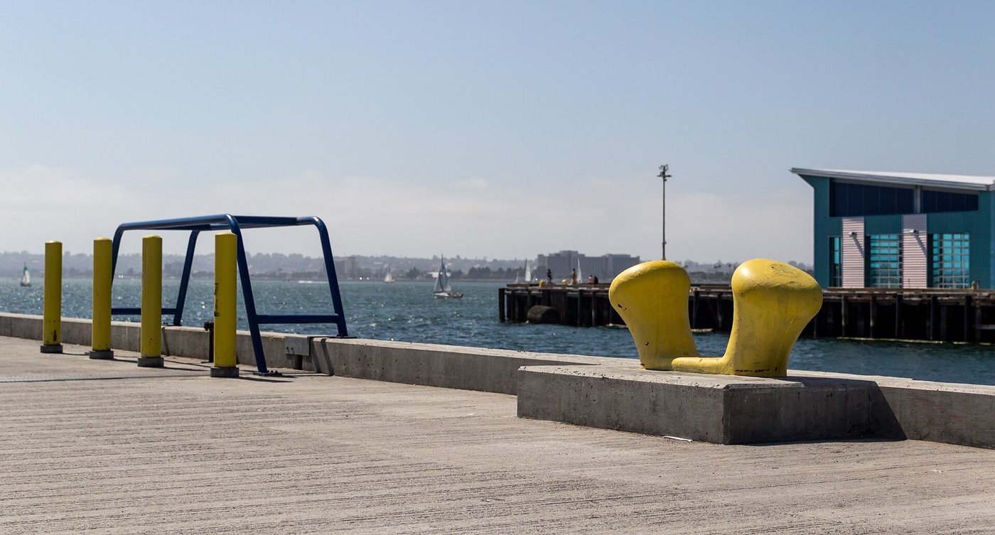
San Diego’s Embarcadero is a sequence of waterfront places rather than one uniform promenade. Along the bay, public paths connect with piers, parks, museums, commercial areas and working maritime facilities. Choosing a particular segment makes it easier to understand how the city meets the water without assuming that every stretch has the same character or access arrangements.
The public edge was deliberately expanded
The North Embarcadero improvement project completed in 2014 reorganized portions of the waterfront to give pedestrians more space near the bay. Landscape designers worked with the Port and city on a promenade, planted areas and public facilities. The project changed the balance between road space, parking and places for people.
This was a constructed improvement to an already developed waterfront. The paths do not follow an untouched natural shore, and their width and alignment reflect decisions about competing uses. The result makes the water more accessible while retaining the surrounding urban infrastructure.
Piers connect the city with activity on the bay
Piers project outward from the shoreline and have specific functions. A waterfront route may pass their entrances without granting access to every operational area. Museum ships, passenger services and maritime work each have their own boundaries.
That distinction helps explain why a walk along the Embarcadero is different from visiting one of its attractions. The public path provides a shared setting, while admission, boarding or restricted areas belong to separate activities. The bay remains a working harbor as well as a view.
Parks and redevelopment have different timelines
The Central Embarcadero includes places such as Seaport Village, Tuna Harbor, Ruocco Park and Embarcadero Marina Park North. The Port’s redevelopment planning addresses this broader area, but proposals and environmental review should not be confused with completed construction.
A current map is useful for identifying a start and return point, particularly where events or works affect a path. For historical understanding, the larger issue is how public access is negotiated among land uses. Open space, commercial activity and maritime operations all depend on the same valuable edge.
The Embarcadero’s character comes from this mixture. It can be experienced as a short walk between recognizable places, while the changing sequence reveals how a port city creates public ground without ceasing to use its waterfront for other purposes.
,_Embarcadero_--_2012_--_5503.jpg)

