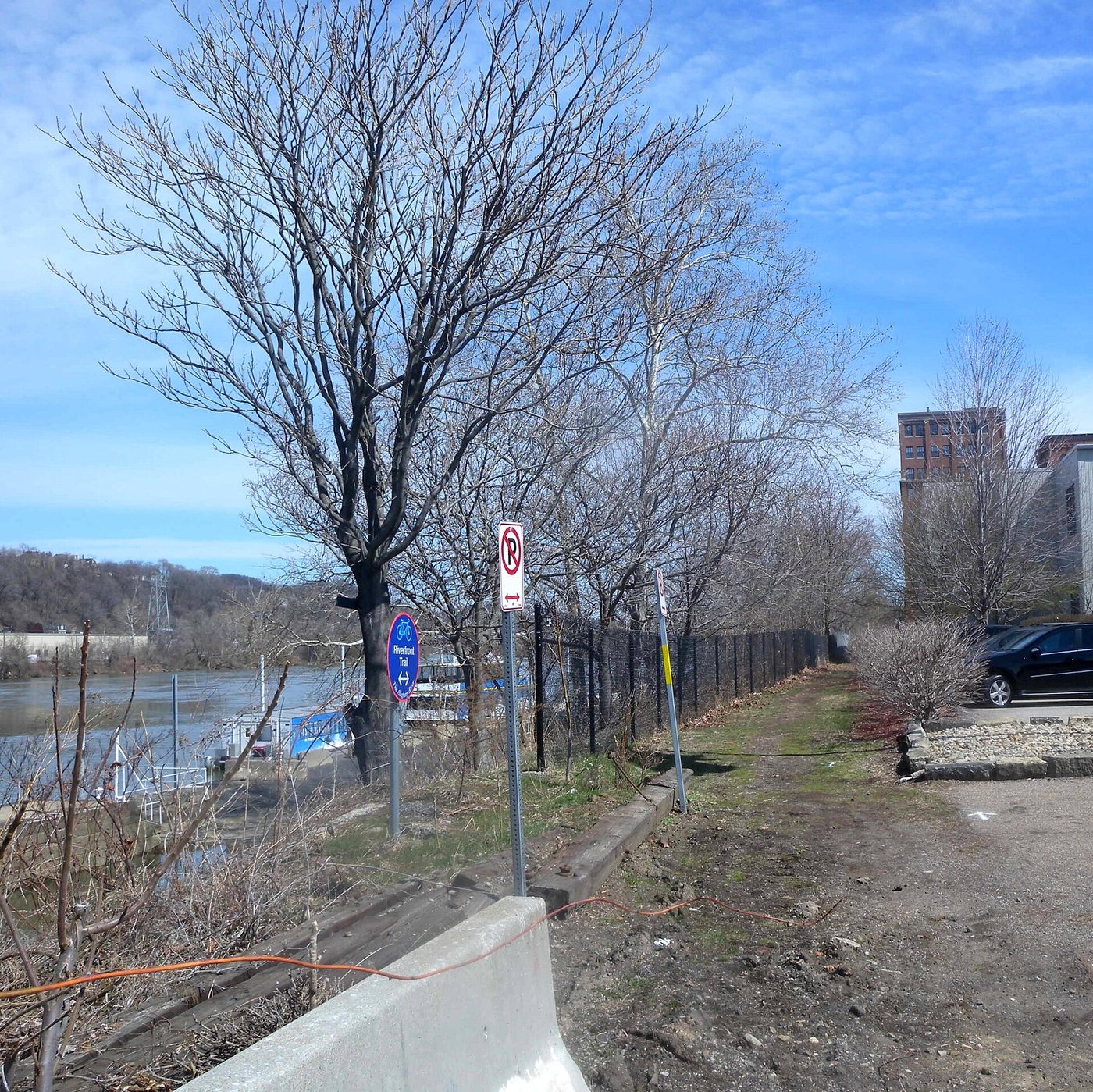
The Three Rivers Heritage Trail is best understood as a network along Pittsburgh’s waterways rather than a single promenade. The Allegheny and Monongahela converge to form the Ohio, while bridges and riverbanks divide a walk into distinct choices. Selecting a bank and a crossing is as important as selecting a distance.
A map of connections
Friends of the Riverfront publishes maps for the trail system, including connections and access information. These are more useful than drawing a straight line between two waterfront destinations. A riverbank route may continue beneath a bridge while access to the bridge deck lies farther inland. Places close together on a map can therefore require a longer pedestrian connection.
For a first walk, choose a short section with a clear entry and exit, then decide whether to retrace it or return by a different bank. A loop adds variety but also introduces crossings and street approaches. An out-and-back walk can be simpler when the priority is the riverside itself. Neither requires treating the entire network as a one-day itinerary.
Waterfront views and transportation layers
The trail creates opportunities to see Pittsburgh from the lower level of its river corridors. Bridges appear as structures with approaches, piers and clearances, rather than simply as routes crossed by traffic. The city’s topography becomes easier to understand when the river is held in view and the higher neighborhoods rise behind it.
A waterfront path also reveals how movement is layered. The walking route, the bridge overhead and the waterway each organize travel at a different height and speed. This is a useful theme for a short outing: one bridge and its surroundings can explain more than a hurried attempt to collect many skyline viewpoints.
Use the land-trail information
Friends of the Riverfront also provides information for river recreation, so distinguish a land-trail access point from a boat launch. They are not interchangeable promises of a continuous walking route. Its current trail notices should be checked alongside the map because construction and maintenance can affect particular branches.
On the path, keep space for cyclists and others moving through, especially when stopping near a bridge or a viewpoint. A route that serves recreation also serves ordinary travel. Planning a manageable segment, understanding its connections and leaving room for that shared use makes the trail’s structure clearer than relying on a total mileage figure.