Walking the Brooklyn Bridge is a way to experience a major engineering structure at human speed. The river view is part of the appeal, but the journey also makes its physical problem visible: the bridge must rise high enough above the East River for navigation, then return gradually to streets on either shore. The approaches are therefore part of the crossing, not merely the distance before it begins.
The span and the approaches
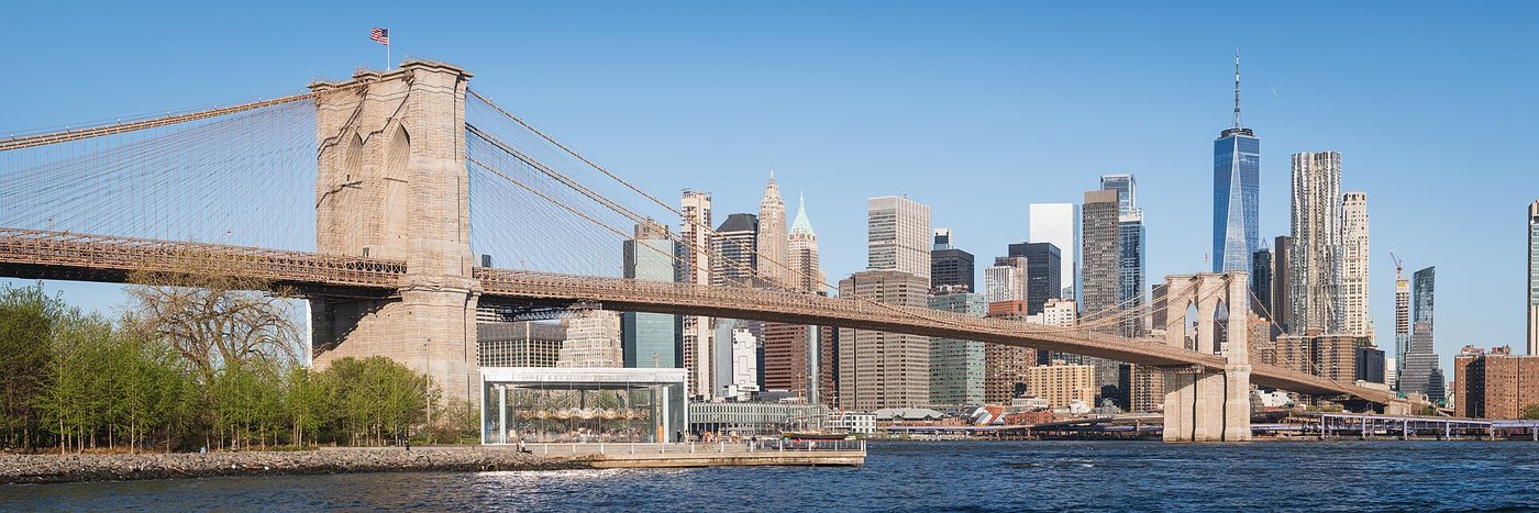
Designed by John A. Roebling, the Brooklyn Bridge was built between 1869 and 1883. Its masonry towers and suspension cables work together to carry the roadway and promenade over the river. NYC DOT lists the principal span as 1,595.5 feet, while the bridge and its approaches total 6,016 feet. Those different measurements explain why the walk feels longer than the visible water crossing.
Watch how the view changes with height. Near an approach, neighboring streets and buildings dominate. Farther out, the structure opens toward the river and skyline. The cables create changing patterns as your position shifts, making the bridge legible as a three-dimensional object rather than the flat silhouette seen in a distant photograph.
The towers can be read in two ways at once. Their arches form recognizable architectural shapes, while the massive masonry also belongs to the bridge’s structural system. Decoration and engineering are not entirely separate categories here.
Choose the pedestrian route deliberately
The bridge has a pedestrian promenade and a separate protected bicycle path. The dedicated two-way cycling lane opened in 2021 using former roadway space. Older photographs and descriptions may show cyclists sharing the elevated promenade, so follow current signs rather than reproducing an old route description.
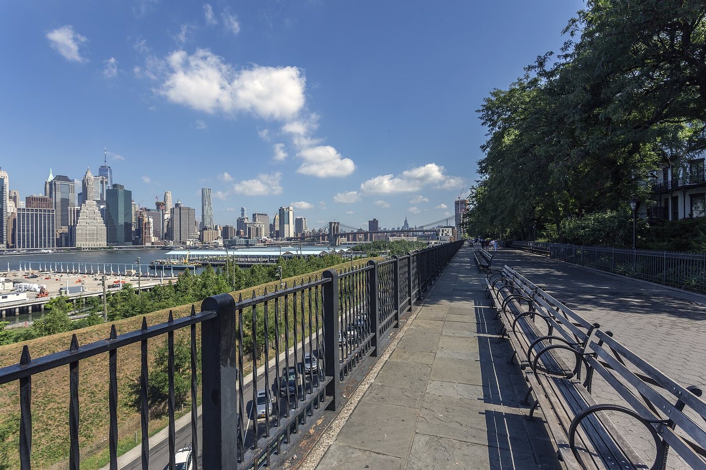
The walking access on each side lies inland from the water. Before starting, identify both the entrance and the place where you want to finish. A plan to continue to Brooklyn Heights, for example, is different from a plan to return immediately over the bridge. Add the street connections to the journey rather than measuring only the span.
For photographs, pause outside the main stream of walkers where space permits. The promenade is a functioning route for residents as well as visitors. Large groups stopping across it can make an otherwise straightforward crossing difficult for everyone behind them.
A landmark that keeps changing
The bridge’s transport layout has been altered repeatedly. NYC DOT documents the removal of railway and trolley tracks during the major mid-twentieth-century reconstruction, as well as changes to road lanes and approaches. The current arrangement is one stage in a long history of adapting an old structure to new demands.
That history complicates the idea of an untouched landmark. Preservation here involves maintaining the bridge’s defining fabric while accommodating contemporary use and repair. Check the transport department’s notices if access matters to a tightly timed journey. On the bridge itself, looking at the approach, tower and suspended span in sequence offers a fuller understanding than searching for a single perfect skyline view.