
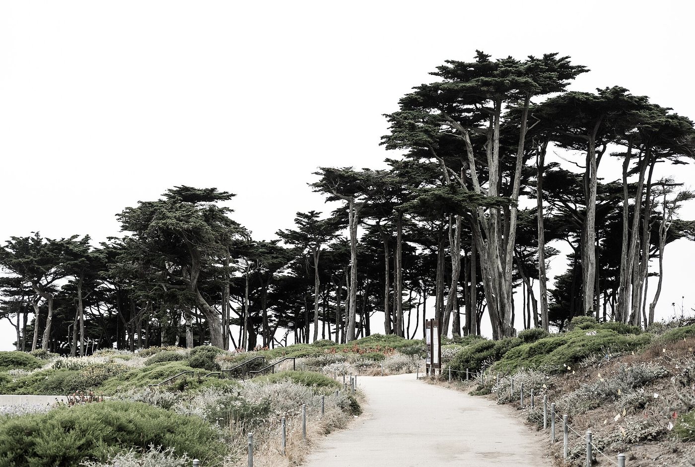
Lands End is a coastal edge within San Francisco, but it does not behave like a flat urban promenade. The route combines portions of an old railway corridor with uneven terrain, stairs and exposed coastal conditions. Its views are part of the experience, while the path itself records earlier attempts to bring people to the city’s western shoreline.
A railway left a useful line
Parts of the Coastal Trail follow the former Cliff House railway alignment. A railway needs a relatively controlled grade, and that earlier engineering created a route that could later serve pedestrians. The surviving line helps explain why some stretches feel unusually level against the steep surrounding ground.
The railway also belonged to an earlier recreational landscape associated with the Cliff House and Sutro Baths. The coast was a destination shaped by transport and commercial attractions, not an untouched edge discovered only by modern walkers.
The terrain interrupts the easy route
The old railbed does not make the entire walk level or step-free. National Park Service information identifies an accessible stretch from the Merrie Way trailhead toward the Mile Rock overlook area, while other portions involve stairs and more demanding surfaces. A route description should distinguish those sections rather than applying one accessibility label to the whole coastline.
Cliffs and eroding slopes are also active features. Informal tracks toward an edge can be unstable, and a short-looking shortcut may leave the maintained route. Staying on established paths protects both people and the coastal vegetation that helps hold the ground.
History at several scales
The remains of Sutro Baths reveal the scale of a former indoor swimming complex at the ocean’s edge. Their exposed foundations are very different from the building that once enclosed the pools. Reading the ruins requires recognizing what has disappeared as well as what remains.
The wider landscape also has Indigenous histories that precede the railway and baths. These later attractions are only one phase in a coast long used and known by Ohlone communities.
For a walk, a defined out-and-back section is often clearer than an ambitious route based solely on a map distance. The National Park Service’s trail information identifies surfaces, stairs and access points. The reward is not only a sequence of views, but an understanding of how transport engineering, recreation and coastal change produced the path underfoot.


.jpg)

,_Palace_of_Fine_Arts_--_2022_--_0906.jpg)