
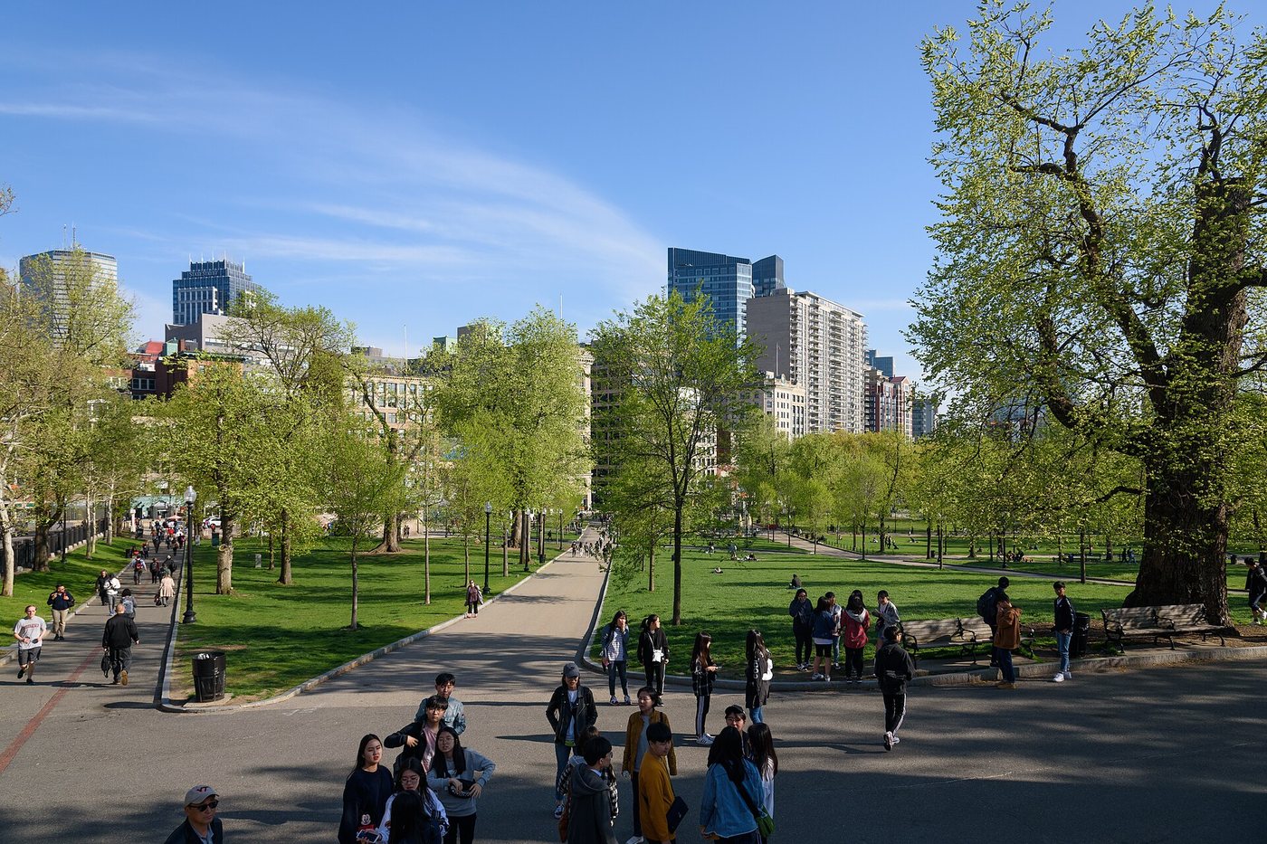
Boston Common is older than the familiar idea of a landscaped urban park. Its origins lie in land set aside for shared use in 1634, and its early functions were more varied and less ornamental than the lawns and paths suggest today. The city’s archaeology program offers a way to recover those earlier uses without treating the landscape as if it had served one purpose for nearly four centuries.
Common ground did not mean equal access
The land was purchased from William Blackstone by the English colonists in 1634. Boston’s archaeological account describes it as ground reserved for the town’s benefit. For more than a century, grazing was a principal use. The right to place cows or sheep there belonged to white male landowners, a reminder that the word common did not mean everyone enjoyed the same rights.
The setting also supported chores and informal recreation. A piece of open land could serve many needs before municipal parks developed specialized facilities. Its usefulness depended on remaining available amid a growing settlement rather than on a carefully composed ornamental design.
The colonial purchase is one chapter in a longer history of the Shawmut peninsula. It should not be treated as the beginning of human presence in the area. A city’s official founding date and the history of the land are different things.
A place for institutions and crowds
The Common accommodated military activity and later became a prominent setting for rallies and demonstrations. Its size and position beside the city’s political center made it a place where people could assemble visibly. Open space can become civic infrastructure when it allows a crowd to gather near institutions of power.
Paths, monuments and recreational areas accumulated as the city’s expectations changed. The landscape is therefore a record of different priorities rather than a single designer’s complete composition. Boston’s own park history notes that Frederick Law Olmsted did not design the Common, even though it is connected in the public imagination with the larger park system associated with his work.
Distinguish the Common from the Public Garden
The Public Garden lies across Charles Street and has a different origin and design character. Combining them into one green area on a map can obscure the contrast between a historic common and an ornamental garden. Walking from one to the other makes the difference in layout and emphasis apparent.
For the Common itself, choose a route that passes both a busy gathering area and a quieter edge. The aim need not be to inspect every monument. Reading the ground as a sequence of changing uses—grazing, assembly, recreation and remembrance—provides a clearer framework than assuming that every part belongs to one period.


.jpg)
