At Point State Park, Pittsburgh’s geography becomes unusually clear. The Allegheny and Monongahela meet and the Ohio continues downstream. The open tip of land makes that junction visible, but the apparent simplicity of the landscape conceals several transformations: contested territory, fortified ground, a built-up industrial district and a deliberately created public park.
Why the forks mattered
Control of the river junction meant access to routes through the interior of North America. French and British claims therefore converged here, but they were not competing over an empty landscape. The Fort Pitt Museum’s interpretation places Shawnee, Delaware and Seneca people within the struggle for autonomy in the Ohio Country. Native nations made diplomatic and military decisions of their own, rather than serving merely as background to a European conflict.
French forces built Fort Duquesne in 1754. The British subsequently established Fort Pitt, beginning in 1759. These were different forts with different footprints, so a visit should not collapse their remains and commemorative outlines into one building. Their successive construction records changes in power at a strategically important location.
The museum provides a way to move beyond dates and commanders. Trade, diplomacy and the consequences of war are necessary to understand why the location mattered. The rivers were transportation routes and political connections long before they became the setting for a modern skyline photograph.
Original fabric and reconstruction
The Fort Pitt Museum occupies a reconstructed bastion on the footprint of part of the British fort. Its building helps convey the defensive work’s scale, but it should be understood as an interpretive reconstruction. The surviving Block House belongs to a different category of evidence. Pennsylvania’s park interpretation identifies it as a remnant of the fort, operated separately from the museum.
That distinction changes how the site is read. A reconstruction can make a vanished form comprehensible; an original structure carries material evidence of its own survival and alteration. A marked outline can show a relationship on the ground without recreating a wall. All three methods are useful, but they answer different questions.
For a historically focused visit, examine the landscape markings and museum interpretation before walking to the tip. The open lawns make the distance between former defensive features easier to appreciate. They also risk making the past look tidier than it was, which is why the accompanying historical explanation is important.
The park was made, not simply left over
The Point later became a dense area of commerce, transportation and industry. Pennsylvania authorized the state park in 1945, and its dedication followed in 1974. Creating the park involved replacing an existing urban landscape; the open ground is a twentieth-century planning decision rather than an untouched remnant of the eighteenth century.
This is a different form of historical change from replacing one fort with another. The modern project sought a public landscape and a recognizable image for Pittsburgh. It selected some earlier histories for commemoration while removing much of the later built environment. The resulting park is consequently both a place containing history and an interpretation of which history should be visible.
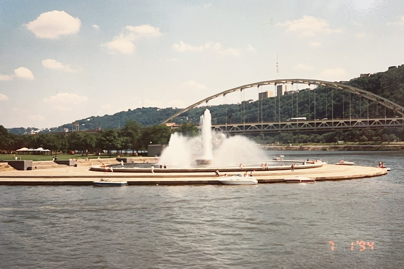
The fountain at the tip gives the confluence a landmark that can be recognized from across the water and from the surrounding heights. Its location emphasizes the meeting of the rivers. Even when the fountain is not operating, the landform remains the key to understanding the park’s position within the city.
Two useful scales for a visit
At the small scale, the park is about footprints, masonry and exhibits: evidence of particular structures and people. At the larger scale, it is about river corridors and the city built around them. Moving between the museum area and the waterfront allows those scales to inform each other.
The confluence is not just a view at the end of a path. It explains the military interest in this ground, the later concentration of transportation and the appeal of making it a public space. Allowing time for both the historical interpretation and the river edge gives the Point a depth that a quick stop at the fountain would miss.