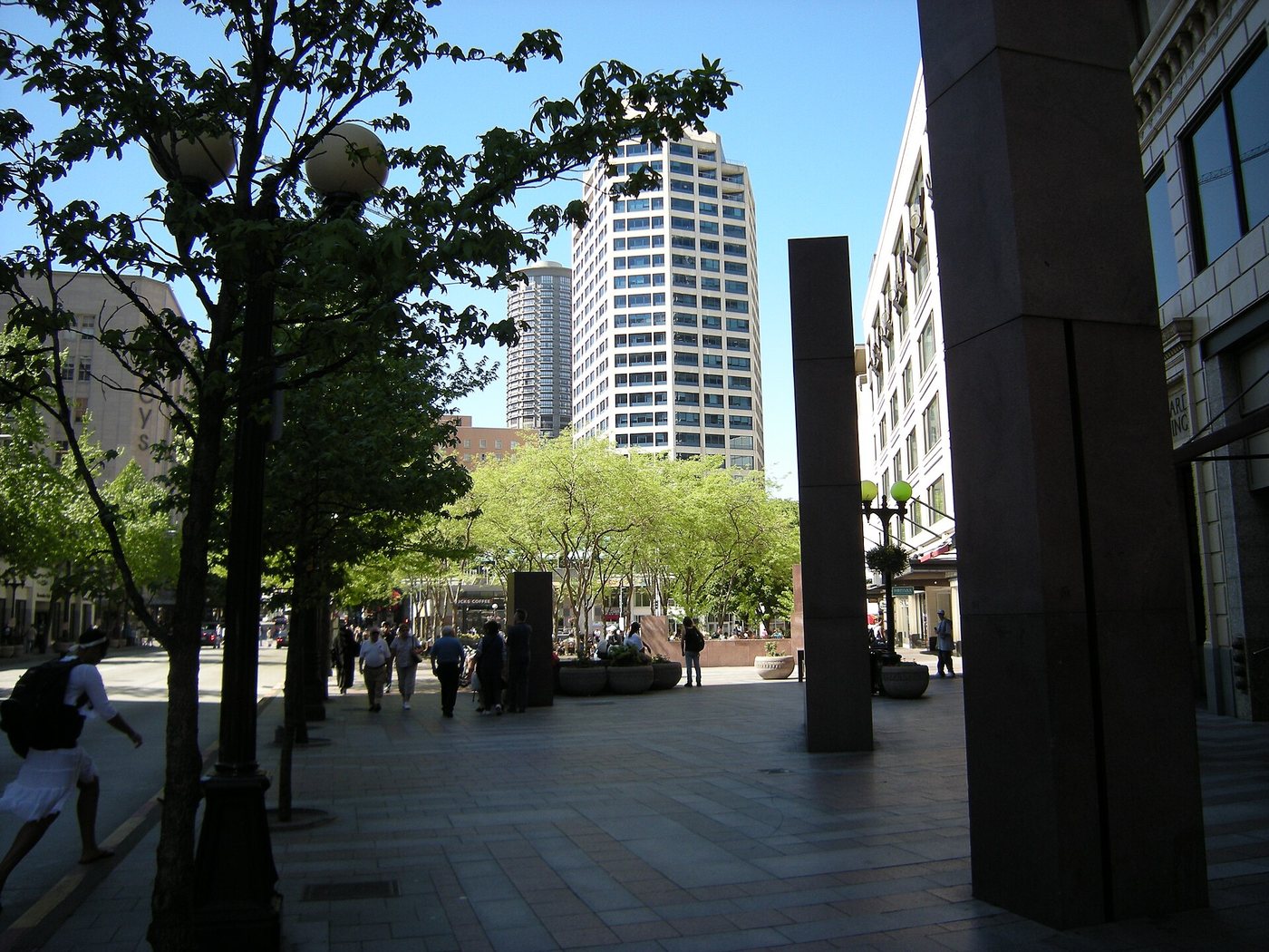
Westlake Park is a compact public space in Seattle’s retail core, near the meeting of Pine Street and Fourth Avenue. Its size can make it seem like a simple leftover triangle, but the park emerged from a long planning and political process. The finished space combines circulation, public art and places to pause within an intensely urban setting.
Twenty years from proposal to opening
Plans for a park and related development at Westlake were discussed as early as 1968. Legal and political disputes delayed the project, and the park did not formally open until 1988. City planning sought an open space that would support the downtown retail area while occupying part of the former Westlake Avenue alignment.
A small triangular property at Fourth and Pine was acquired as part of the project. Its combination with street space helped form the park. The result demonstrates that a public square can be assembled from transport land and a private parcel rather than inherited as a complete block from an original city plan.
Art organizes the geometry
Landscape architect Robert Hanna worked with artist Robert Maki on the design. Maki’s Westlake Star Axis/Seven Hills uses sculptural elements to give the irregular site a coherent visual structure. A pink granite column and six cubic elements refer to Seattle’s seven hills.
The work is integrated with the public space rather than confined to a freestanding object on a pedestal. Its placement helps connect different parts of the park, making art part of the way the ground is understood and crossed.
A small space with a large public role
Westlake’s central location makes it useful for meeting, gathering and moving between nearby destinations. Its public role is different from that of the shopping facilities around it. A person can enter the park without becoming a customer, even though commercial activity contributes to the flow of people nearby.
The park’s significance therefore cannot be measured only in acreage or greenery. It provides a recognizable open place within a dense network of streets, stores and transit. Its history shows how much planning can lie behind a space that takes only a few moments to cross.